Davis - Triple Creek
- 1.0 mi
- round trip
- 103 ft
- climb
- 4,811 ft
- high point
- Out and back
- route
- Jul–Sep
- best months
Is Davis - Triple Creek open right now?
Alert in the area
The Forest Service lists 4 alerts for Bitterroot National Forest.
Pile burning on West Fork Ranger, Darby-Sula & Stevi Nov. 16 to 19
Agency alert covering Bitterroot National Forest · USFS · Bitterroot National Forest
Pile burning on West Fork Ranger District end of October
Agency alert covering West Fork Ranger District · USFS · West Fork Ranger District
Pile burning on West Fork Ranger District Oct. 26
Agency alert covering West Fork Ranger District · USFS · West Fork Ranger District
Two Prescribed Burns Planned for the week of Oct. 5 - Piquett Creek & Cameron Gap
Agency alert covering Bitterroot National Forest · USFS · Bitterroot National Forest
As of · Source: USFS · Bitterroot National Forest. Agencies don't list every closure — check before you go.
Davis - Triple Creek is a short, easy hike in the West Fork Ranger District of Montana's Bitterroot National Forest, about a mile from the Triple Creek area. The Forest Service manages the land, and the trail is a natural-surface out-and-back that rises about 100 feet from a low point of roughly 4,575 feet to a high of about 4,811 feet. Summer is the most comfortable time to go. Typical averages from a nearby weather station show July highs around 82°F with lows near 43°F, while winter highs stay in the low to mid 30s. Mountain bikers will find the Ranch - Triple Creek and First Loop - Triple Creek trails about 0.2 miles away. For an overnight stay, Medicine Point Lookout is about 7 miles off, and Crazy Creek Campground is about 9 miles away.
- Ranch - Triple CreekMountain biking0.2 mi
- First Loop -Triple CreekMountain biking0.2 mi
- Willow - Triple CreekMountain biking0.3 mi
- Lisas - Triple CreekMountain biking0.4 mi
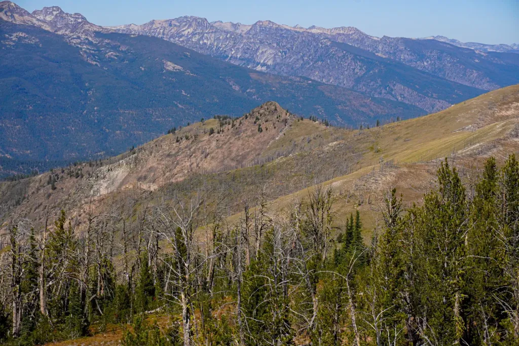 Medicine Point LookoutCampingPhoto: Recreation.gov (RIDB) / public domain7.3 mi
- Crazy Creek CampgroundCamping8.6 mi
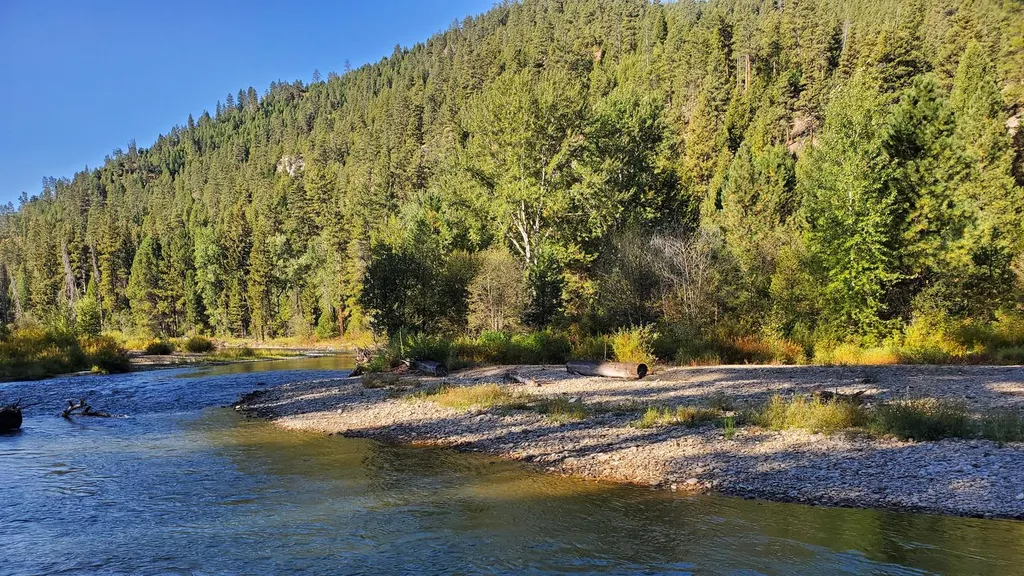 RomboCampingPhoto: Recreation.gov (RIDB) / public domain8.6 mi
- Warm Springs CreekCanoeing9.4 mi
Source: Roamze catalog (indexable pages within 10 miles, PostGIS distance)
- Willow - Triple CreekHiking · Next door
- Lisas - Triple CreekHiking · Next door
- East PiquettHiking · ~4 min drive
- Trapper PeakHiking · ~5 min drive
- Tennis - Triple CreekHiking · Next door
- Upper East PiquettHiking · ~6 min drive
- Piquett DivideHiking · ~6 min drive
- Moose Meadows - Triple CreekHiking · ~1 min drive
- BURNT RIDGEHiking · ~7 min drive
- Boulder CreekHiking · ~6 min drive
Best time to visit Davis - Triple Creek
Best months: July–September. Best months have typical highs of 55–85 °F, lows of 30 °F or warmer (32 °F where the station doesn't record snow), at most one snowy day and no more than 12 wet days.
Jan
34° / 13°
8 wet
Feb
39° / 14°
7 wet
Mar
48° / 22°
9 wet
Apr
55° / 27°
11 wet
May
64° / 33°
13 wet
Jun
72° / 40°
13 wet
Jul
82° / 43°
9 wet
Aug
81° / 40°
7 wet
Sep
73° / 34°
7 wet
Oct
58° / 27°
8 wet
Nov
43° / 20°
10 wet
Dec
33° / 12°
10 wet
Typical high / low (°F) and days with rain or snow, 1991–2020. Measured at Sula 3 Ene, MT, 14.2 mi away at 4,475 ft. This station doesn't record snowfall. Source: NOAA NCEI U.S. Climate Normals 1991–2020.
