CDT fqhAC
- 52.4 mi
- round trip
- 3,937 ft
- climb
- 9,330 ft
- high point
- Out and back
- route
This is a hard out-and-back hike in Montana, about 52 miles long, with a total elevation gain of 3,937 feet. The route starts and ends in Anaconda, about half a mile from town, and climbs from a low point of 5,277 feet to a high point of 9,330 feet. The climb is a long one, and the high point is well above 9,000 feet. Plan for a full day on the trail, and expect the upper stretch to be the most demanding part of the route. Several other outings sit close by. The Old Works Trail is just 0.4 miles away, and the Silica Trail is about 1.3 miles off. Mill Creek, a canoeing spot, is roughly 3.6 miles away, and the Stooges climbing area is about 4.7 miles away.
Local outfitters
- Copper Court RV Park1 mi away
Not on Roamze yet. Their page has how to reach them.
- Old Works TrailHiking0.4 mi
- Silica TrailHiking1.3 mi
- Mill CreekCanoeing3.6 mi
- Elk TrailHiking4.3 mi
- Beaver Pond TrailHiking4.4 mi
- The StoogesRock climbing4.7 mi
- LOST CREEKHiking6.1 mi
- Copperway Regional TrailHiking7.5 mi
Source: Roamze catalog (indexable pages within 10 miles, PostGIS distance)
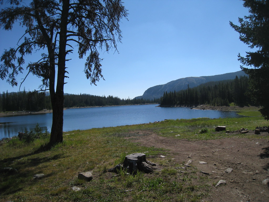 LITTLE RACE TRACK LAKEHiking · ~26 min drivePhoto: GSEC, CC BY 2.0 (via Flickr)
- Old Works TrailHiking · Next door
- LOST CREEKHiking · ~10 min drive
- FOSTER CREEKHiking · ~17 min drive
 MUDD LAKEHiking · ~27 min drivePhoto: GSEC, CC BY 2.0 (via Flickr)
- Silica TrailHiking · ~2 min drive
- RUMSEY TRAILHiking · ~31 min drive
- BOWMAN LAKESHiking · ~20 min drive
- Silica TrailHiking · ~5 min drive
- Silica TrailHiking · ~4 min drive
Map and trail data © OpenStreetMap contributors
