Warland Ds-Site 7
Is Warland Ds-Site 7 open right now?
Closure in the area
There's a closure order in Kootenai National Forest. It doesn't name Warland Ds-Site 7, so check the source for the area it covers.
Kootenai Flood Event & Inaccessible Areas
Agency closure covering Kootenai National Forest · USFS · Kootenai National Forest
Updated Skillet Fire Area, Road, Trail Closure
Agency alert covering Kootenai National Forest · Order 01-10- · USFS · Kootenai National Forest
Trail Advisory-Alexander Mountain Trail near Timber Harvest Activities
Agency alert covering Libby Ranger District · USFS · Libby Ranger District
Timberlane Campground Closure
Agency alert covering Libby Ranger District · Order 01-14-05-26-03 · USFS · Libby Ranger District
As of · Source: USFS · Kootenai National Forest. Agencies don't list every closure — check before you go.
- At 2,451 ft
- Libby Ranger DistrictKootenai National Forest
Warland Ds-Site 7 is a campground in Montana with 5 sites. It is managed by the Forest Service.
Local outfitters
- Kootenai River Campground30 mi away
- Indian Springs Montana31 mi away
Not on Roamze yet. Their page has how to reach them.
- Koocanusa MarinaBoat launch0.7 mi
- Mcgillivray Bs Boating SiteBoat launch1.6 mi
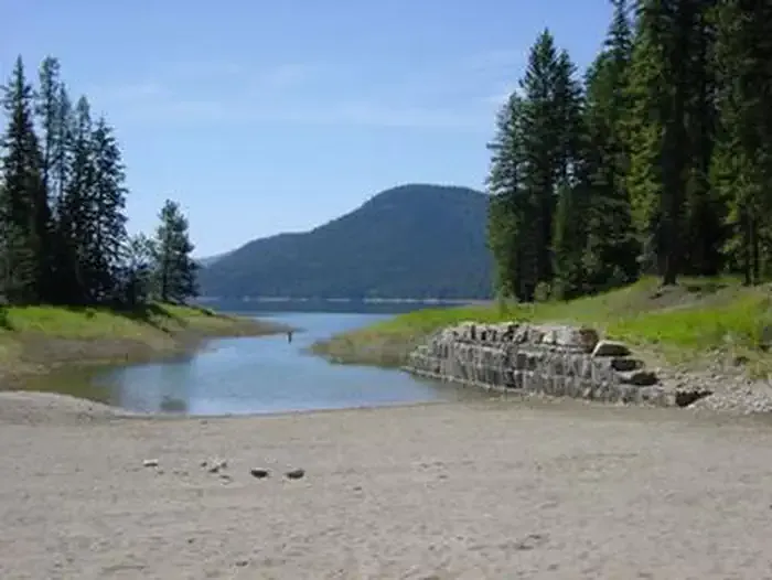 McGillivray Campground (MT)CampingPhoto: Recreation.gov (RIDB) / public domain1.7 mi
- Cripple Cripple Horse Meadow Site 4Camping2.5 mi
- Yarnell IslandHiking2.8 mi
- ALEXANDER MOUNTAINHiking4.1 mi
- Fleetwood PointSummit5.8 mi
- Tenmile FallsWaterfall9.7 mi
Source: Roamze catalog (indexable pages within 10 miles, PostGIS distance)
- McGillivray Campground (MT)Camping · ~3 min drive
- Warland Ds-5021Camping · Next door
- Warland Ds-Site 10Camping · Next door
- Warland Ds-Site 4Camping · Next door
- Warland Ds-Site 3Camping · Next door
- Warland Ds-Site 2Camping · Next door
- Rd835 Site 1Camping · ~2 min drive
- Rd835 Site 2Camping · ~2 min drive
- Rd4925-2Camping · ~2 min drive
- Boundary Mtn Site 1Camping · ~3 min drive
