Maclary Ranger Station
- May–Jun, Sep–Oct
- best months
Is Maclary Ranger Station open right now?
Closure in the area
There's a closure order in Custer Gallatin National Forest. It doesn't name Maclary Ranger Station, so check the source for the area it covers (14 listed).
NFSR #1700 South Plateau Road Closure
Agency closure covering Custer Gallatin National Forest · USFS · Custer Gallatin National Forest
Road #3138 Partial Closure Sioux Ranger District
Agency closure covering Sioux Ranger District · Order 01-11-83-26-01 · USFS · Sioux Ranger District
Hyalite Porcupine Buffalo Horn Summer Interim Travel Order and Map and Order # 01-11-00-26-02
Agency closure covering Custer Gallatin National Forest · Order 01-11-00-26-02 · USFS · Custer Gallatin National Forest
Hyalite Porcupine Buffalo Horn Winter Interim Travel Order and Map Order Number: #01-11-00-26-01
Agency closure covering Custer Gallatin National Forest · USFS · Custer Gallatin National Forest
Glacier Lake Road #2421 Closure Order Number: # 01-11-82-26- 01
Agency closure covering Custer Gallatin National Forest · Order 01-11-82-26- · USFS · Custer Gallatin National Forest
As of · Source: USFS · Custer Gallatin National Forest. Agencies don't list every closure — check before you go.
- At 3,723 ft
- Sioux Ranger DistrictCuster Gallatin National Forest
Maclary Ranger Station is a campground in Montana with 5 sites. It is managed by the Forest Service.
- Pot Hole Trail #3090Hiking0.5 mi
- Lantis Spring CampgroundCamping2.4 mi
- Hoag Coal Mine Draw Trail #3056Hiking2.5 mi
- Bell Tower Divide Trail #3040Hiking3.6 mi
- Flathers Trail #3051Hiking3.8 mi
- Wickham Gulch CampgroundCamping3.9 mi
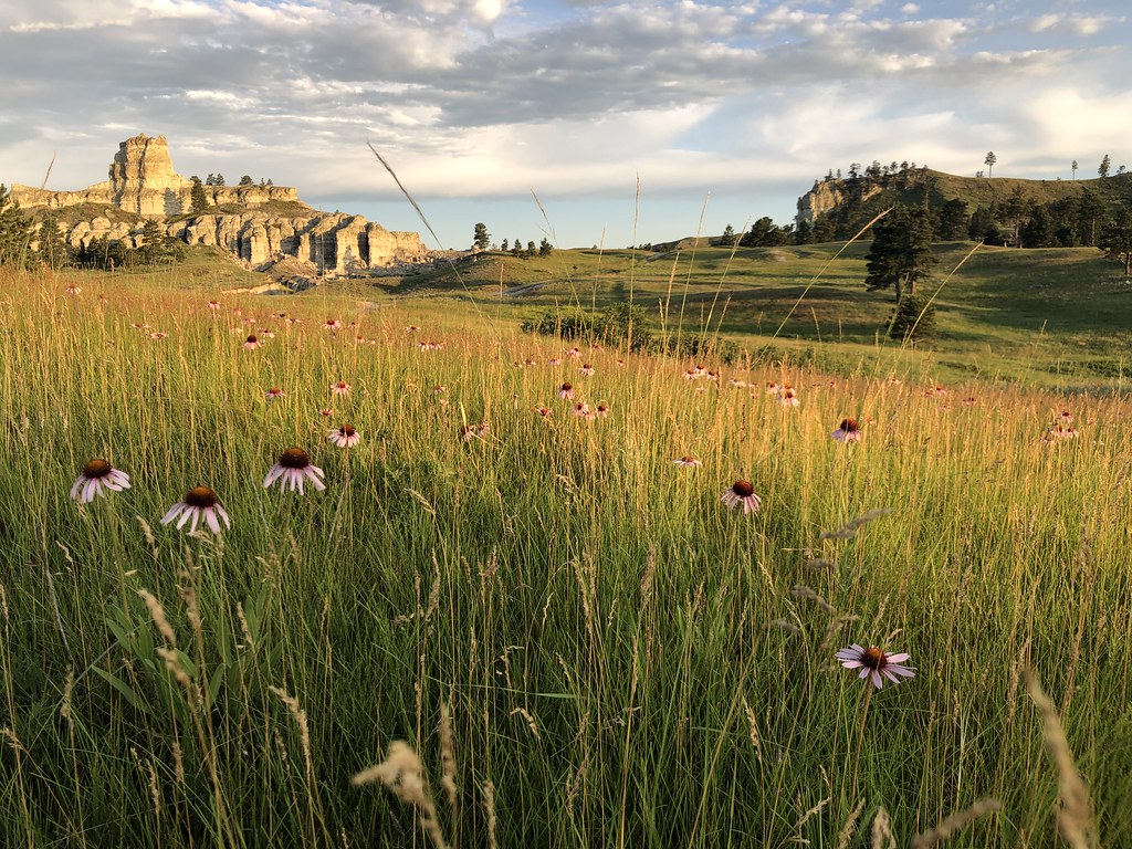 Wickham Gulch Trail #3049HikingPhoto: Forest Service - Northern Region, Public Domain Mark (via Flickr)4 mi
- Maverick Creek Trail #3036Hiking4.2 mi
Source: Roamze catalog (indexable pages within 10 miles, PostGIS distance)
- Four Crner Spur WestCamping · ~3 min drive
- Cheeseman PondCamping · ~3 min drive
- Se LantisCamping · ~3 min drive
- Lantis Spring CampgroundCamping · ~4 min drive
- North 3198e RdCamping · ~5 min drive
- South 3819e RoadCamping · ~5 min drive
- Tripoint Lookout-WestCamping · ~5 min drive
- Tripoint Lookout-EastCamping · ~5 min drive
- West Belltower FlatsCamping · ~6 min drive
- Lost Farm-BelltowerCamping · ~6 min drive
Also worth it near here
Best time to visit Maclary Ranger Station
Best months: May–June and September–October. Best months have typical highs of 55–85 °F, lows of 30 °F or warmer (32 °F where the station doesn't record snow), at most one snowy day and no more than 12 wet days.
Jan
34° / 10°
5 wet
Feb
37° / 13°
5 wet
Mar
48° / 22°
6 wet
Apr
58° / 31°
7 wet
May
69° / 42°
10 wet
Jun
79° / 51°
11 wet
Jul
88° / 57°
9 wet
Aug
88° / 55°
7 wet
Sep
78° / 45°
6 wet
Oct
61° / 33°
6 wet
Nov
46° / 22°
5 wet
Dec
35° / 13°
5 wet
Typical high / low (°F) and days with rain or snow, 1991–2020. Measured at Camp Crook, SD, 9 mi away at 3,120 ft. The station sits about 600 ft lower than this place, so expect it a little cooler here. This station doesn't record snowfall. Source: NOAA NCEI U.S. Climate Normals 1991–2020.

