
Route 66 State Park
About
Route 66 State Park is a 402-acre park in Missouri, about 2.4 miles from the town of Eureka. The park holds four trails within its boundaries, making it a compact base for walking close to the St. Louis area. Spring and fall are the most comfortable times to visit. Typical averages from a nearby weather station run to highs around 68°F in April and 69°F in October, while July highs average 89°F and January lows dip to about 22°F. More trails and climbing lie within a short drive. South Loop Trail sits just 0.7 miles away and Al Foster Trail is about 2.2 miles off. Climbers can head to Chubb Trail Crack Wall, roughly 2.3 miles away, and anglers can reach the Meramec River about 5.4 miles from the park.
Park size
402 acres
Inside this park
Location
Route 66 State Park
Missouri
Data source: USGS PAD-US 4.1 (Protected Areas Database, public domain)
Facts about this place
When to go
Best time to go: Apr–May. The mildest months here, with typical highs of 68–77°F and lows of 44–55°F.
Typical monthly averages (not a forecast) from the St Louis Sprt Of S L Ap, MO weather station, 11 mi away. High / low in °F.
- Jan41° high22° low
- Feb47° high26° low
- Mar57° high34° low
- Apr68° high44° low
- May77° high55° low
- Jun86° high64° low
- Jul89° high68° low
- Aug88° high66° low
- Sep81° high56° low
- Oct69° high45° low
- Nov56° high34° low
- Dec45° high26° low
Nearby
 South Loop TrailHikingPhoto: Photographs of Things, CC BY-SA 2.0 (via Flickr)0.7 mi
- Al Foster TrailHiking2.2 mi
 Chubb Trail Crack WallRock climbingPhoto: Fredlyfish4, CC BY-SA 3.0 (via Wikimedia Commons)2.3 mi
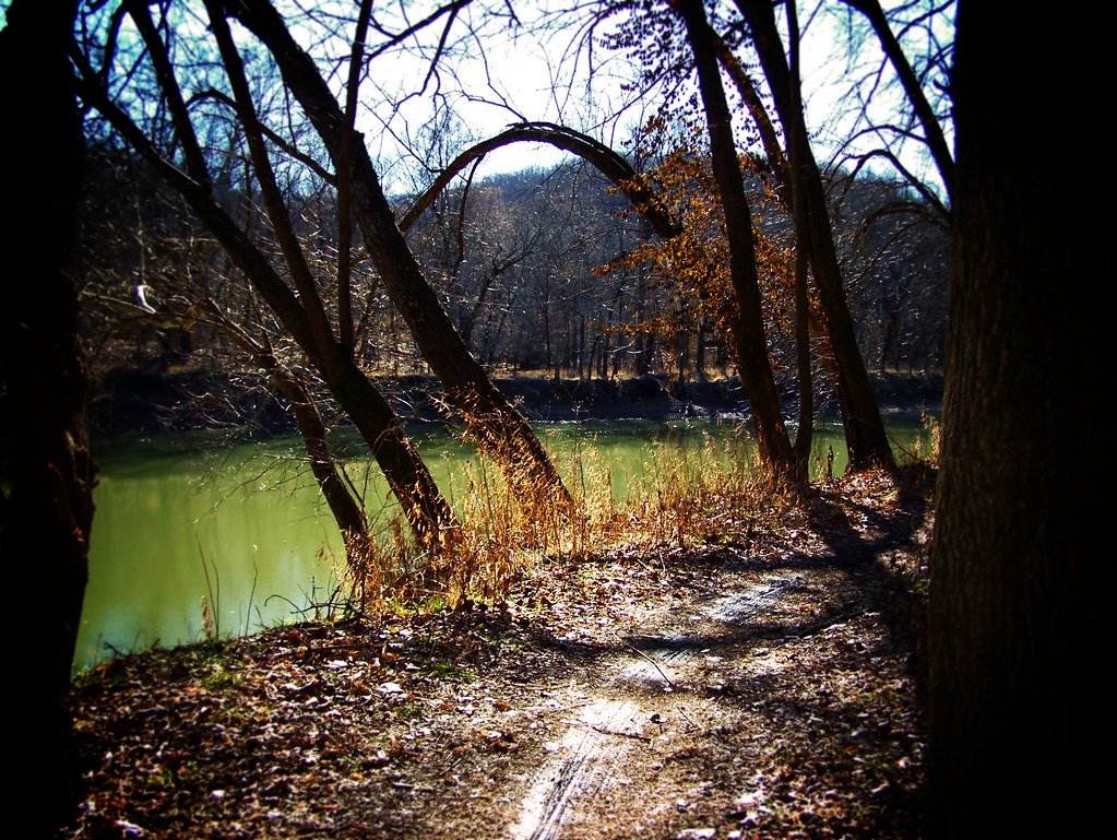 Stinging Nettle TrailHikingPhoto: monamaynard, CC BY 2.0 (via Flickr)2.5 mi
- EM: Al Foster BoulderRock climbing2.5 mi
- Colony wallRock climbing4.3 mi
- Meramec RiverRiver fishing5.4 mi
 Bonhomme CreekCanoeingPhoto: Palisades1, CC BY-SA 4.0 (via Wikimedia Commons)8.9 mi
Source: Roamze catalog (indexable pages within 10 miles, PostGIS distance)
Best time to visit Route 66 State Park
Best months: March–April and September–November. Best months have typical highs of 55–85 °F, lows of 30 °F or warmer (32 °F where the station doesn't record snow), at most one snowy day and no more than 12 wet days.
Jan
41° / 22°
8 wet
Feb
47° / 26°
8 wet
Mar
57° / 34°
11 wet
Apr
68° / 44°
12 wet
May
77° / 55°
13 wet
Jun
86° / 64°
11 wet
Jul
89° / 68°
9 wet
Aug
88° / 66°
9 wet
Sep
81° / 56°
9 wet
Oct
69° / 45°
10 wet
Nov
56° / 34°
9 wet
Dec
45° / 26°
9 wet
Typical high / low (°F) and days with rain or snow, 1991–2020. Measured at St Louis Sprt Of S L Ap, MO, 10.6 mi away at 462 ft. We don't have this place's elevation, so higher spots nearby can run cooler. This station doesn't record snowfall. Source: NOAA NCEI U.S. Climate Normals 1991–2020.
