CM: Wilton
- 9 routes
- 5.9 – 5.12b
- Sport · Trad
- Mar–Jun, Sep–Nov
- best months
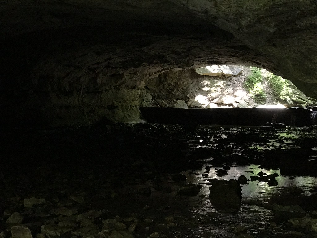
CM: Wilton is a climbing area in Missouri, about 1.7 miles from the town of Wilton. The land is managed by the U.S. Fish and Wildlife Service, and the area sits within a cluster of climbing spots, with South Wilton and the Meadows Area both within a quarter mile. The climbing here is a mix of sport and trad routes, with sport routes making up the majority. The YDS grades run from 5.9 up to 5.12b, and the hardest route listed is Bolt Route at 5.12b. Among the sport routes are Headwall Cave Left (Craigmile Memorial) at 5.9 and Scofflaw Arete at 5.10c. For timing, late spring and early fall tend to be the most comfortable. Typical averages from a nearby weather station in Columbia show May highs around 76°F and September highs around 80°F, while July and August average highs near 88°F. The closest climbing is South Wilton, about 0.1 mile away, and The Sport Wall is about 0.3 mile off. For a walk, the Turkey Creek Interpretive Nature Trail is about 7.8 miles away, and Deer Run Trail is about 9 miles away.
Best time to go · Mar–Jun, Sep–Nov
Best time to visit CM: Wilton
Best months: March–June and September–November. Best months have typical highs of 55–85 °F, lows of 30 °F or warmer (32 °F where the station doesn't record snow), at most one snowy day and no more than 12 wet days.
Jan
40° / 23°
8 wet · 3 snow
Feb
45° / 26°
8 wet · 3 snow
Mar
56° / 36°
11 wet · 1 snow
Apr
67° / 46°
12 wet
May
76° / 56°
12 wet
Jun
85° / 65°
10 wet
Jul
88° / 69°
9 wet
Aug
88° / 67°
8 wet
Sep
80° / 58°
8 wet
Oct
68° / 47°
9 wet
Nov
55° / 36°
9 wet · 1 snow
Dec
44° / 27°
8 wet · 2 snow
Typical high / low (°F) and days with rain or snow, 1991–2020. Measured at Columbia Rgnl Ap, MO, 9.5 mi away at 893 ft. Source: NOAA NCEI U.S. Climate Normals 1991–2020.
Routes (9)
[Redacted](3)
Cro-Magnon Cave(3)
Sunlight Area(2)
Keep exploring — more climbs worth the drive
 Photo: dippold, CC BY-SA 3.0 (via Wikimedia Commons)
The Drive-In
~21 min drive
7 sport climbing routes at Drive-In, The in Missouri.
Photo: dippold, CC BY-SA 3.0 (via Wikimedia Commons)Walk Down Area
~21 min drive
Walk Down Area in Missouri has 7 climbing routes with 6 difficulty grades.
Photo: dippold, CC BY-SA 3.0 (via Wikimedia Commons)Main Area
~21 min drive
Main Area in Missouri has 25 climbing routes across 17 grades.
CLIMB
South Wilton
Next door
South Wilton in Missouri has 7 climbing routes on limestone, ranging from easy to difficult.
CLIMB
Meadows Area
Next door
Meadows Area in Missouri has 8 climbing routes across 6 grades, offering sport and trad options.
CLIMB
The Sport Wall
Next door
10 climbing routes in Missouri, grades 5.6 to 5.11a, sport and trad.
CLIMB
South Area
~9 min drive
South Area in Missouri has 24 climbing routes across 15 difficulty grades.
CLIMB
Providence Main Wall
~10 min drive
Providence Main Wall in Missouri has 25 routes across 20 grades, offering mixed, sport, and trad climbing.
CLIMB
Spire Area
~10 min drive
Spire Area in Missouri has 8 climbing routes across 6 grades, offering sport and trad options.
CLIMB
North Area
~11 min drive
North Area in Missouri has 3 sport climbing routes.