Swan Creek
- 29.0 mi
- distance
- 1,278 ft
- high point
- Apr, Jun
- best months
Caution at last check
Agency alerts are in effect for this area; weather is good · USFS, OpenWeather · checked 19 h ago
Is Swan Creek open right now?
Alert in the area
The Forest Service lists 12 alerts for Mark Twain National Forest.
Crane Lake Dam
Agency alert covering Mark Twain National Forest · USFS · Mark Twain National Forest
Delays on Forest Road 557
Agency alert covering Mark Twain National Forest · USFS · Mark Twain National Forest
Forest Order - Trail 119 Closure Extended (Chadwick Motorized Trail System)
Agency alert covering Mark Twain National Forest · USFS · Mark Twain National Forest
Forest Order - Trail 119 Closure (Chadwick Motorized Trail System)
Agency alert covering Ava/Cassville/Willow Springs Ranger District · Order 09-05-21-26-06 · USFS · Ava/Cassville/Willow Springs Ranger District
Forest Order 09-05-21-26-03 National Forest System Road 566 Closure
Agency alert covering Ava/Cassville/Willow Springs Ranger District · Order 09-05-21-26-03 · USFS · Ava/Cassville/Willow Springs Ranger District
As of · Source: USFS · Mark Twain National Forest. Agencies don't list every closure — check before you go.
Swan Creek is a 29-mile paddling stretch in Missouri, running near Chadwick and flowing year-round. The U.S. Forest Service manages the land along it, within the Ava/Cassville/Willow Springs Ranger District of Mark Twain National Forest. The creek moves steadily, with a typical average flow of about 170 cubic feet per second and a gradient of about 17.9 feet per mile, according to USGS models. That makes it a consistent current for paddlers, and the route is open all year. Spring and fall are the most comfortable seasons to paddle. Typical averages from a nearby weather station in Oldfield show May highs around 74°F and October highs around 68°F, while July averages climb to about 86°F. Several short hikes sit close to the water, including Swan Creek-Beer Can Alley, Swan Creek-Math Branch and Swan Creek-Tin Top, all within a mile. For an overnight stay, Cobb Ridge campground is about 6 miles away.
- Swan Creek-Beer Can AlleyHiking0.6 mi
- Swan Creek-Math BranchHiking0.7 mi
- Swan Creek-Tin TopHiking0.7 mi
- Cobb RidgeCamping5.7 mi
- The Future CaveRock climbing6.2 mi
- Turtle HeadRock climbing6.3 mi
- SW: Peter's BranchRock climbing6.3 mi
- Bull CreekCanoeing9.4 mi
Source: Roamze catalog (indexable pages within 10 miles, PostGIS distance)
 Beaver CreekCanoeing · ~22 min drivePhoto: Vsmith, CC BY-SA 4.0 (via Wikimedia Commons)
- Kerr AccessBoat launch · ~43 min drive
- Cape FairTubing · ~54 min drive
- Cowskin CreekCanoeing · ~31 min drivePhoto: Vsmith, CC BY-SA 4.0 (via Wikimedia Commons)
- Ralph Cox Memorial AccessBoat launch · ~45 min drive
- Campbell PointTubing · ~1h 3m drive
 Hunter CreekCanoeing · ~41 min drivePhoto: Vsmith, CC BY-SA 3.0 (via Wikimedia Commons)
- Vera CruzBoat launch · ~48 min drive
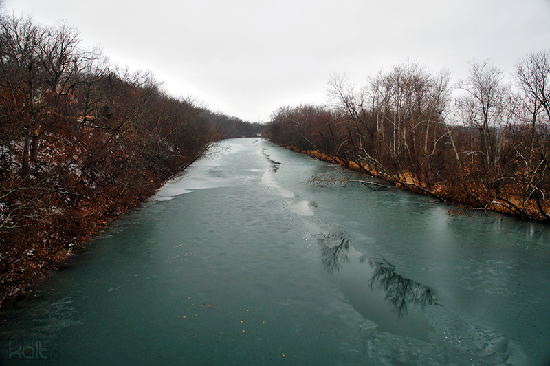 James RiverCanoeing · ~42 min drivePhoto: Cold417 The original uploader was Cold417 at English Wikipedia., CC BY-SA 3.0 (via Wikimedia Commons)
- Hwy 14Boat launch · ~50 min drive
Best time to visit Swan Creek
Best months: April, June and August–October. Best months have typical highs of 55–85 °F, lows of 30 °F or warmer (32 °F where the station doesn't record snow), at most one snowy day and no more than 12 wet days.
Jan
41° / 20°
10 wet
Feb
47° / 21°
9 wet
Mar
56° / 30°
10 wet
Apr
67° / 39°
12 wet
May
74° / 50°
13 wet
Jun
81° / 57°
12 wet
Jul
86° / 61°
10 wet
Aug
85° / 59°
9 wet
Sep
78° / 51°
9 wet
Oct
68° / 40°
11 wet
Nov
55° / 30°
11 wet
Dec
45° / 21°
11 wet
Typical high / low (°F) and days with rain or snow, 1991–2020. Measured at Oldfield, MO, 6.3 mi away at 1,240 ft. This station doesn't record snowfall. Source: NOAA NCEI U.S. Climate Normals 1991–2020.

