Saint Johns Creek
- 22.3 mi
- distance
- 707 ft
- high point
- Mar–May, Sep–Nov
- best months
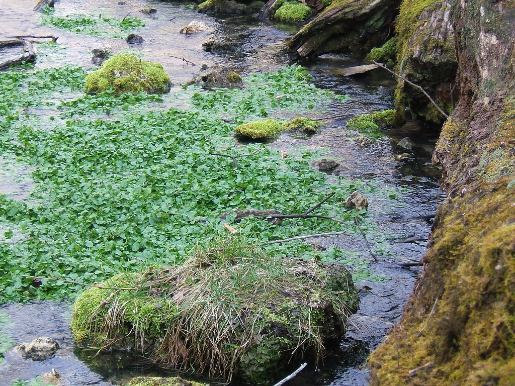
Saint Johns Creek is a 22-mile paddling stretch near Washington, Missouri, running close to the town of Clover Bottom, about half a mile away. The creek is intermittent, and it may run dry in some seasons, so conditions can change from one outing to the next. Spring and fall are the most comfortable times to paddle. Typical averages from a nearby weather station in Union run to highs around 70°F in April and October, while July averages a high near 91°F. The creek carries an average flow of about 112 cubic feet per second, with a gradient of about 9.1 feet per mile, according to USGS models. Paddlers should plan for a run that can vary, and expect to check current water levels before heading out. Nearby, the Miramiguoa trail offers a hike about 8 miles away, and Dubois Creek, another paddling route, lies about 8 miles off. Climbers can find the Dutzow Boulder and Devil's Den Area roughly 10 miles from the creek.
Local outfitters
- Y-kiki Divers37 mi away
- LifeWaters40 mi away
Not on Roamze yet. Their page has how to reach them.
- Miramiguoa trailHiking7.8 mi
- Dubois CreekCanoeing8.3 mi
- Dutzow BoulderRock climbing9.8 mi
- Devil's Den AreaRock climbing9.9 mi
Source: Roamze catalog (indexable pages within 10 miles, PostGIS distance)
- Dubois CreekCanoeing · ~14 min drive
- Mayer's LandingBoat launch · ~11 min drive
- Boeuf CreekCanoeing · ~23 min drive
- Apparently PrivateBoat launch · ~13 min drive
- Charrette CreekCanoeing · ~28 min drive
- WashingtonBoat launch · ~13 min drive
- Little Meramec RiverCanoeing · ~35 min drive
- Devils Back FloatsBoat launch · ~14 min drive
- Second CreekCanoeing · ~37 min drive
- Union AccessBoat launch · ~14 min drive
Best time to visit Saint Johns Creek
Best months: March–May and September–November. Best months have typical highs of 55–85 °F, lows of 30 °F or warmer (32 °F where the station doesn't record snow), at most one snowy day and no more than 12 wet days.
Jan
43° / 23°
8 wet
Feb
48° / 26°
7 wet
Mar
59° / 35°
10 wet
Apr
70° / 45°
11 wet
May
78° / 55°
12 wet
Jun
86° / 63°
10 wet
Jul
91° / 67°
8 wet
Aug
89° / 66°
8 wet
Sep
82° / 57°
7 wet
Oct
70° / 46°
8 wet
Nov
57° / 35°
9 wet
Dec
46° / 27°
9 wet
Typical high / low (°F) and days with rain or snow, 1991–2020. Measured at Union, MO, 7.6 mi away at 540 ft. This station doesn't record snowfall. Source: NOAA NCEI U.S. Climate Normals 1991–2020.