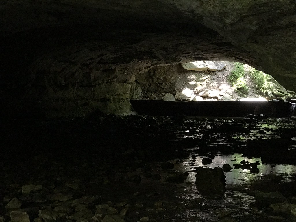
Petite Saline Creek
- 40.0 mi
- distance
- 854 ft
- high point
- Mar–Jun, Sep–Oct
- best months
Petite Saline Creek is a canoeing route in Missouri, about 2 miles from the town of Speed. It is a paddling destination rather than a trail, so there is no climb to plan around, and the distance to the nearest town makes it an easy stop for anyone already in the area. For comfortable paddling weather, late spring and early fall are the best bets. Typical averages from the nearby Boonville weather station show May highs around 75°F and September highs near 79°F, with July peaking at about 88°F. Moniteau Creek, another canoeing route, lies about 9 miles away and makes a natural pairing for a day on the water.
Local outfitters
- Scooters Rental45 mi away
Not on Roamze yet. Their page has how to reach them.
Source: Roamze catalog (indexable pages within 10 miles, PostGIS distance)
- Moniteau CreekCanoeing · ~16 min drive
- De Bourgmont Boat RampBoat launch · ~13 min drive
- Lamine RiverCanoeing · ~25 min drive
- Fraklin Island CABoat launch · ~15 min drive
- Little Richland CreekCanoeing · ~31 min drive
- Bonne Femme CreekBoat launch · ~17 min drive
- North Moreau CreekCanoeing · ~34 min drive
- Harriman Hill Boat RampBoat launch · ~18 min drive
- Bonne Femme CreekCanoeing · ~35 min drive
- Roberts Bluff Boat RampBoat launch · ~21 min drive
Best time to visit Petite Saline Creek
Best months: March–June and September–October. Best months have typical highs of 55–85 °F, lows of 30 °F or warmer (32 °F where the station doesn't record snow), at most one snowy day and no more than 12 wet days.
Jan
38° / 20°
Feb
43° / 23°
Mar
55° / 33°
Apr
65° / 43°
May
75° / 55°
Jun
84° / 64°
Jul
88° / 68°
Aug
87° / 66°
Sep
79° / 57°
Oct
68° / 46°
Nov
54° / 34°
Dec
43° / 25°
Typical high / low (°F) and days with rain or snow, 1991–2020. Measured at Boonville, MO, 7.2 mi away at 752 ft. This station doesn't record snowfall. Source: NOAA NCEI U.S. Climate Normals 1991–2020.