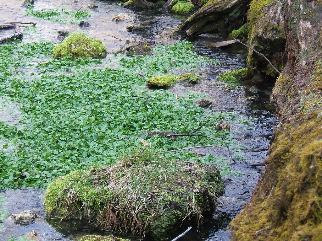
Mineral Fork
- 0.5 mi
- distance
- 602 ft
- high point
- Mar–Jun, Aug–Oct
- best months
Mineral Fork is a 0.5-mile paddling stretch near Blackwell, Missouri, about a mile from the town of Bliss. The fork flows year-round, with USGS models estimating an average flow of about 176 cubic feet per second and a gradient of about 7.5 feet per mile. Spring and fall are the most comfortable times to paddle. Typical averages from a nearby weather station in Potosi show May highs around 74°F and October highs around 68°F, while July averages climb to about 86°F. Washington State Park, a climbing area, lies about 4 miles away. Hikers can reach Opossum Track Trail and Rockywood Trail within about 4.5 miles, and Mammoth Cave Overhang is roughly 5 miles off.
Local outfitters
- LifeWaters31 mi away
- Y-kiki Divers43 mi away
Not on Roamze yet. Their page has how to reach them.
- Washington State ParkRock climbing4.1 mi
- Opossum Track TrailHiking4.2 mi
- Rockywood TrailHiking4.4 mi
- 1000 Steps TrailHiking4.7 mi
- Mammoth Cave OverhangRock climbing4.9 mi
- C: Legacy WallRock climbing9.2 mi
- D: VineyardRock climbing9.2 mi
- A: North ColumnRock climbing9.2 mi
Source: Roamze catalog (indexable pages within 10 miles, PostGIS distance)
- Fourche a RenaultCanoeing · ~19 min drive
- Washington SPBoat launch · ~7 min drive
- Indian CreekCanoeing · ~21 min drive
- Mammoth AccessBoat launch · ~8 min drive
- Little Meramec RiverCanoeing · ~27 min drive
- Washington State ParkBoat launch · ~9 min drive
- Pike RunCanoeing · ~30 min drive
- Merrill HorseBoat launch · ~9 min drive
- Flat RiverCanoeing · ~37 min drive
- Brown's FordBoat launch · ~15 min drive
Best time to visit Mineral Fork
Best months: March–June and August–October. Best months have typical highs of 55–85 °F, lows of 30 °F or warmer (32 °F where the station doesn't record snow), at most one snowy day and no more than 12 wet days.
Jan
40° / 21°
8 wet
Feb
45° / 25°
8 wet
Mar
55° / 33°
10 wet
Apr
66° / 44°
11 wet
May
74° / 54°
12 wet
Jun
82° / 63°
10 wet
Jul
86° / 67°
9 wet
Aug
85° / 65°
8 wet
Sep
78° / 57°
7 wet
Oct
68° / 46°
9 wet
Nov
54° / 35°
8 wet
Dec
43° / 26°
8 wet
Typical high / low (°F) and days with rain or snow, 1991–2020. Measured at Potosi 4 Sw, MO, 14.5 mi away at 1,105 ft. The station sits about 500 ft higher than this place, so expect it a little warmer here. This station doesn't record snowfall. Source: NOAA NCEI U.S. Climate Normals 1991–2020.