Blue Springs Public Canoe Launch
- Apr–Jun, Sep–Oct
- best months
Blue Springs Public Canoe Launch is a public boat launch in Missouri, about 5 miles from the town of St. Cloud. It serves as a put-in for paddlers heading out on the water in this corner of the state. For comfortable weather on the water, late spring and early fall are the best bets. Typical averages from a nearby weather station in Steelville show May highs around 77°F and September highs near 79°F, while July climbs to about 88°F and January highs sit near 42°F. Several trails lie within about 8 miles of the launch, including the Natural Wonders Trail, the Wilderness Trail and the Bluff View Trail.
- Natural Wonders TrailHiking6.9 mi
- Wilderness TrailHiking7.5 mi
- Bluff View TrailHiking7.8 mi
- Deer Hollow TrailHiking7.8 mi
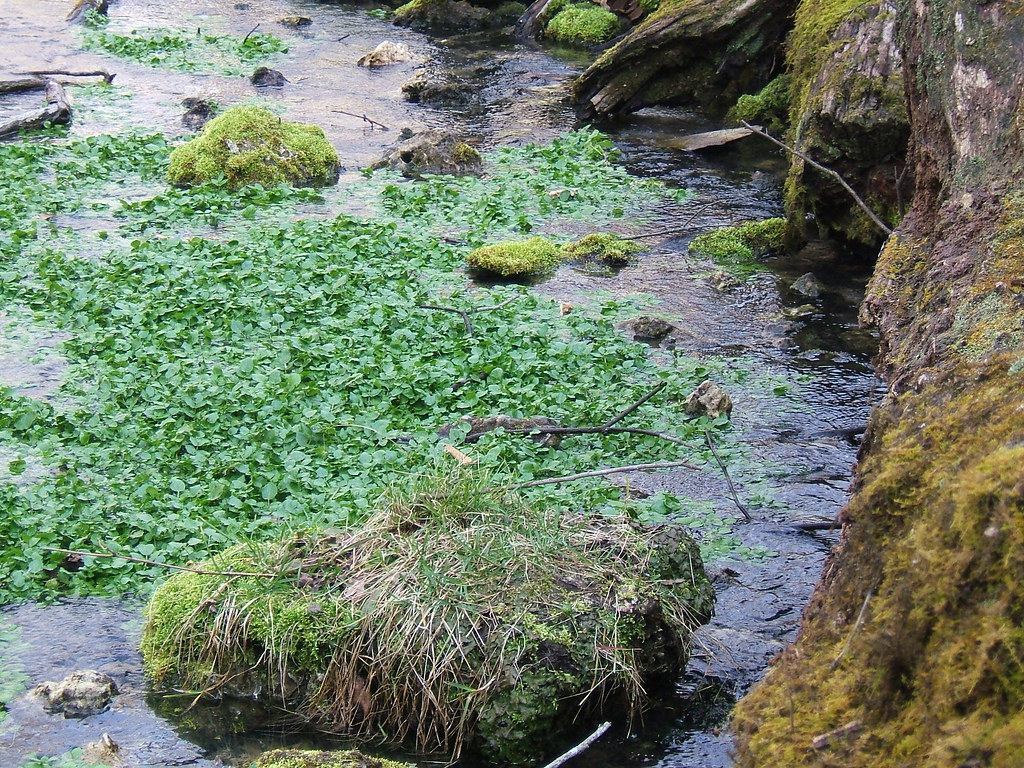 Walking Fern TrailHikingPhoto: teeks99, CC BY-SA 2.0 (via Flickr)8.6 mi
Source: Roamze catalog (indexable pages within 10 miles, PostGIS distance)
- Blue Springs Ranch LandingBoat launch · Next door
- Indian CreekCanoeing · ~17 min drive
- Riverview RanchBoat launch · ~4 min drive
- Brush CreekCanoeing · ~27 min drive
- Canoe/Kayak LaunchBoat launch · ~4 min drive
- Fourche a RenaultCanoeing · ~30 min drive
- Campbell Bridge Boat RampBoat launch · ~4 min drive
- Dry CreekCanoeing · ~32 min drive
- Sappington Bridge Boat RampBoat launch · ~7 min drive
- Tube Take OutBoat launch · ~8 min drive
Best time to visit Blue Springs Public Canoe Launch
Best months: April–June and September–October. Best months have typical highs of 55–85 °F, lows of 30 °F or warmer (32 °F where the station doesn't record snow), at most one snowy day and no more than 12 wet days.
Jan
42° / 19°
Feb
48° / 21°
Mar
57° / 29°
Apr
69° / 39°
May
77° / 50°
Jun
84° / 58°
Jul
88° / 63°
Aug
87° / 60°
Sep
79° / 51°
Oct
70° / 39°
Nov
56° / 29°
Dec
46° / 22°
Typical high / low (°F) and days with rain or snow, 1991–2020. Measured at Steelville 2 N, MO, 13.9 mi away at 700 ft. This station doesn't record snowfall. Source: NOAA NCEI U.S. Climate Normals 1991–2020.
Map and trail data © OpenStreetMap contributors
