Stinging Nettle Trail
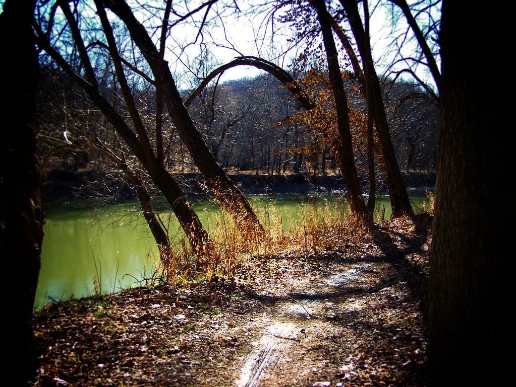
 Photo: Fredlyfish4, CC BY-SA 3.0 (via Wikimedia Commons)
- 2.4 mi
- distance
- 1,160 ft
- climb
- Natural
- surface
- Mar–Apr, Sep–Nov
- best months
Stinging Nettle Trail at Castlewood State Park offers Missouri mountain bikers a 2.4-mile ride through the park's scenic terrain. Located in the heart of Missouri, this trail provides a solid intermediate-length option for riders looking to explore the natural features of Castlewood State Park. The trail's name hints at the native vegetation you'll encounter along the route, characteristic of the region's diverse ecosystem.
- Nearby · Al Foster Trail · Riverscene Trail · Grotpeter Trail
Best time to go · Mar–Apr, Sep–Nov
Best time to visit Stinging Nettle Trail
Best months: March–April and September–November. Best months have typical highs of 55–85 °F, lows of 30 °F or warmer (32 °F where the station doesn't record snow), at most one snowy day and no more than 12 wet days.
Jan
41° / 22°
8 wet
Feb
47° / 26°
8 wet
Mar
57° / 34°
11 wet
Apr
68° / 44°
12 wet
May
77° / 55°
13 wet
Jun
86° / 64°
11 wet
Jul
89° / 68°
9 wet
Aug
88° / 66°
9 wet
Sep
81° / 56°
9 wet
Oct
69° / 45°
10 wet
Nov
56° / 34°
9 wet
Dec
45° / 26°
9 wet
Typical high / low (°F) and days with rain or snow, 1991–2020. Measured at St Louis Sprt Of S L Ap, MO, 9.2 mi away at 462 ft. This station doesn't record snowfall. Source: NOAA NCEI U.S. Climate Normals 1991–2020.
Keep exploring — more rides worth the drive
Photo: Fredlyfish4, CC BY-SA 3.0 (via Wikimedia Commons)Al Foster Trail
Next door
A 1.959-mile trail through Castlewood State Park's scenic Missouri bluffs.
 Photo: Kbh3rd, CC BY 3.0 (via Wikimedia Commons)
Riverscene Trail
~3 min drive
Scenic 1.6-mile riverside trail at Castlewood State Park in Missouri.
 Photo: Kbh3rd, CC BY-SA 3.0 (via Wikimedia Commons)
Grotpeter Trail
~4 min drive
4.8-mile singletrack through Castlewood State Park's scenic Missouri terrain.
RIDE
Chubb Trail
~1 min drive
A 6.668-mile trail through Castlewood State Park's scenic Missouri landscape.
RIDE
Castlewood Loop
~2 min drive
A 2.75-mile loop through Castlewood State Park's Missouri woodlands.
RIDE
Lone Wolf Trail
~3 min drive
A 1.6-mile trail at Castlewood State Park in Missouri.
RIDE
Berryman Trail
~1h 25m drive
26.47-mile loop in Missouri with 2,095 ft elevation gain.
RIDE
Ozark Trail - Courtois Creek
~1h 25m drive
12.73-mile out-and-back trail in Missouri with 1,464 ft of elevation gain.

Map and trail data © OpenStreetMap contributors
