Spring Trail
 Photo: Log.base, CC BY-SA 4.0 (via Wikimedia Commons)
- 1.3 mi
- round trip
- 820 ft
- climb
- 886 ft
- high point
- Out and back
- route
- Mar–Jun, Sep–Nov
- best months
Spring Trail is a short, easy hike in Missouri, about 1.3 miles long, that makes a quick outing from the town of Hahatonka, which sits just 0.1 mile away. The trail is an out-and-back, and the round trip covers about 2.6 miles with a total elevation gain of 820 feet. The climb is steepest near the 0.7-mile mark, where the grade reaches about 27 percent, and the high point of the route is 886 feet. The trail is rated easy, and it is not open to bikes or horses. The trip takes about 1.5 hours, so it works well as a short stop in the area. Spring and fall are the most comfortable times to go. Typical averages from a nearby weather station in Lakeside show October highs around 70°F with lows near 49°F, and April is similar at about 69°F by day and 47°F at night. That station sits roughly 300 feet lower than the trail's high point, so temperatures on the trail run a little cooler. Several other trails start close by. Castle Trail is 0.1 mile away, and Island Trail and Colosseum Trail are each about 0.3 mile off. For time on the water, the Niangua River fishing access is about 0.6 mile away.
- Castle TrailHikingPhoto: Log.base, CC BY-SA 4.0 (via Wikimedia Commons)0.1 mi
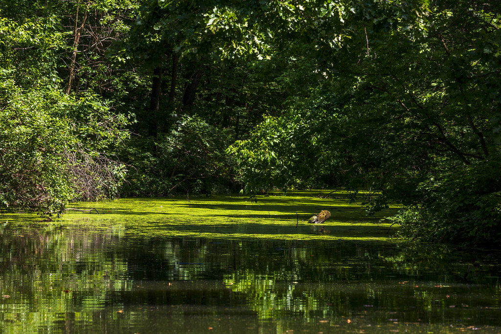 Island TrailHikingPhoto: Richard Ricciardi, CC BY 2.0 (via Flickr)0.2 mi
- Colosseum TrailHikingPhoto: Log.base, CC BY-SA 4.0 (via Wikimedia Commons)0.3 mi
 Quarry TrailHikingPhoto: Semipaw, CC BY 3.0 (via Wikimedia Commons)0.3 mi
- Lake TrailHikingPhoto: Semipaw, CC BY 3.0 (via Wikimedia Commons)0.3 mi
- Niangua RiverRiver fishing0.6 mi
- Big Niangua River TrailCanoeing3.3 mi
- Dry Auglaize CreekCanoeing9.4 mi
Source: Roamze catalog (indexable pages within 10 miles, PostGIS distance)
- Castle TrailHiking · Next doorPhoto: Log.base, CC BY-SA 4.0 (via Wikimedia Commons)
 Turkey Pen Hollow TrailHiking · Next doorPhoto: Log.base, CC BY-SA 4.0 (via Wikimedia Commons)
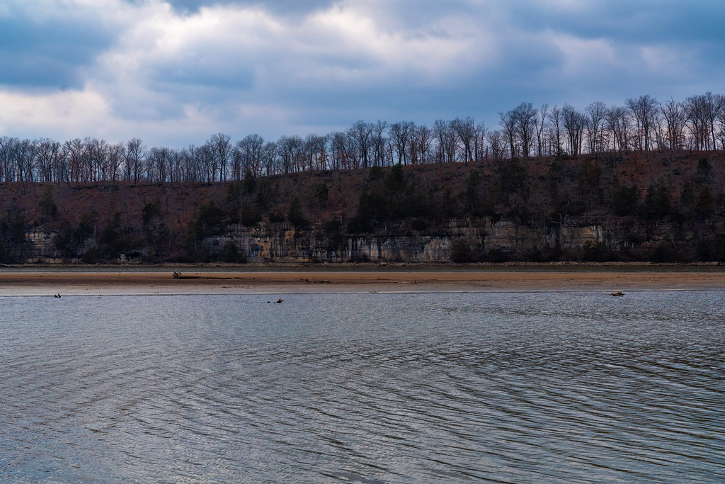 Lake View Bend TrailHiking · ~22 min drivePhoto: Tony Webster, CC BY 2.0 (via Flickr)
- Island TrailHiking · Next doorPhoto: Richard Ricciardi, CC BY 2.0 (via Flickr)
- Red TrailHiking · ~22 min drive
 Natural Tunnel TrailHiking · ~32 min drivePhoto: rjones0856, CC BY 2.0 (via Wikimedia Commons)
- Colosseum TrailHiking · Next doorPhoto: Log.base, CC BY-SA 4.0 (via Wikimedia Commons)
- Moreau Creek TrailHiking · ~1h 9m drive
- Cole Creek Red LoopHiking · ~50 min drive
- Lake TrailHiking · Next doorPhoto: Semipaw, CC BY 3.0 (via Wikimedia Commons)
Best time to visit Spring Trail
Best months: March–June and September–November. Best months have typical highs of 55–85 °F, lows of 30 °F or warmer (32 °F where the station doesn't record snow), at most one snowy day and no more than 12 wet days.
Jan
44° / 25°
7 wet
Feb
49° / 29°
6 wet
Mar
59° / 37°
9 wet
Apr
69° / 47°
11 wet
May
77° / 56°
12 wet
Jun
85° / 65°
10 wet
Jul
89° / 70°
8 wet
Aug
88° / 68°
8 wet
Sep
81° / 60°
8 wet
Oct
70° / 49°
8 wet
Nov
59° / 39°
7 wet
Dec
48° / 30°
7 wet
Typical high / low (°F) and days with rain or snow, 1991–2020. Measured at Lakeside, MO, 17.7 mi away at 590 ft. This station doesn't record snowfall. Source: NOAA NCEI U.S. Climate Normals 1991–2020.
