Loutre River Trail
- 2.2 mi
- round trip
- 631 ft
- climb
- 776 ft
- high point
- Out and back
- route
- Apr–Jun, Aug–Oct
- best months
The Loutre River Trail is a 2.2-mile hike in Missouri, managed by the U.S. Fish and Wildlife Service and set about 1.3 miles from the town of Mineola. It is an out-and-back route that reaches a high point of 776 feet, with the trail's low point at 561 feet. The total climb is 631 feet, and the steepest stretch comes at about 1.6 miles in, with a 10% grade. Spring and fall are the most comfortable times to go. Typical averages from a nearby weather station in Fulton show May highs around 73°F and October highs around 66°F, while July averages climb to about 86°F. The trail is rated easy, and the route is about 4.4 miles long, so plan on roughly two hours for the round trip. Bikes and horses are not allowed. Indian Glade Trail and Fern Ridge Trail both lie about half a mile away. Paddlers can head to Prairie Fork, about 5 miles off, or the Loutre River, about 9.5 miles away.
- Indian Glade TrailHiking0.5 mi
- Fern Ridge TrailHiking0.5 mi
- Prairie ForkCanoeing5 mi
- Loutre RiverCanoeing9.5 mi
Source: Roamze catalog (indexable pages within 10 miles, PostGIS distance)
 Cuivre River TrailHiking · ~1h 1m drivePhoto: Kbh3rd, CC BY-SA 3.0 (via Wikimedia Commons)
- Cedar Creek Trail - Smith CreeHiking · ~52 min drive
- Loop 2Hiking · ~1h 9m drive
- Cedar Creek - SouthHiking · ~59 min drive
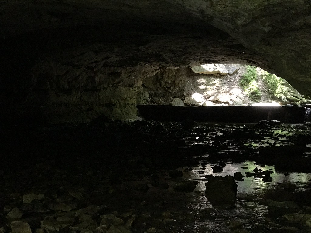 Deer Run TrailHiking · ~1h 9m drivePhoto: Charkrem, CC BY 2.0 (via Flickr)
- Cedar Creek Trail - the MoonHiking · ~55 min drive
- Lost Valley TrailHiking · ~1h 22m drive
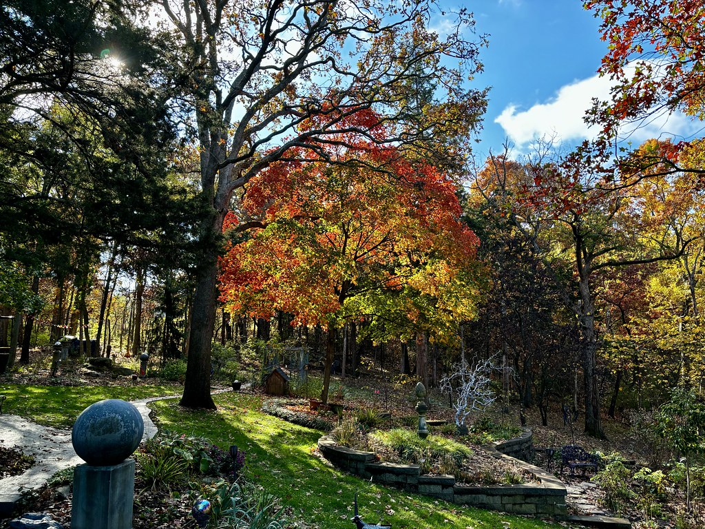 Paved TrailHiking · ~1h 10m drivePhoto: smays, CC BY 2.0 (via Flickr)
- Hamburg Hiking and Biking TrailHiking · ~1h 22m drive
- Gravel TrailHiking · ~1h 10m drivePhoto: smays, CC BY 2.0 (via Flickr)
Best time to visit Loutre River Trail
Best months: April–June and August–October. Best months have typical highs of 55–85 °F, lows of 30 °F or warmer (32 °F where the station doesn't record snow), at most one snowy day and no more than 12 wet days.
Jan
37° / 20°
8 wet
Feb
42° / 24°
7 wet
Mar
53° / 33°
10 wet
Apr
65° / 43°
12 wet
May
73° / 53°
12 wet
Jun
82° / 62°
10 wet
Jul
86° / 66°
8 wet
Aug
85° / 64°
8 wet
Sep
78° / 56°
8 wet
Oct
66° / 44°
9 wet
Nov
53° / 33°
8 wet
Dec
41° / 24°
8 wet
Typical high / low (°F) and days with rain or snow, 1991–2020. Measured at Fulton, MO, 19.7 mi away at 770 ft. This station doesn't record snowfall. Source: NOAA NCEI U.S. Climate Normals 1991–2020.
