Loop 3
- 3.7 mi
- loop
- 186 ft
- climb
- 946 ft
- high point
- Loop
- route
- Mar–Jun, Sep–Nov
- best months
Loop 3 is a 3.7-mile loop hike in Missouri, about 1.9 miles from the town of Old Bland. It's a low-elevation outing, with a total climb of 186 feet, and it's rated easy. The trail is a loop, so you can start and end at the same point. The route rises from about 922 feet to a high of 946 feet, with the steepest stretch at about 2.7 miles in, where the grade reaches 8%. Bikes and horses are both allowed, so the trail works for riders and pack animals as well as hikers. Spring and fall are the most comfortable times to go. Typical averages from a nearby weather station in Freedom, Missouri, show October highs around 69°F with lows near 44°F, and May highs around 75°F. Summer runs hotter, with July highs near 88°F. Loop 2 is about 0.8 miles away and Loop 1 about a mile off. For paddling, Third Creek is roughly 4.9 miles away.
Source: Roamze catalog (indexable pages within 10 miles, PostGIS distance)
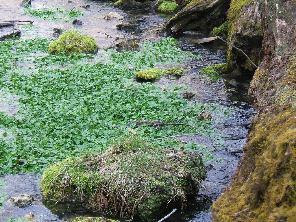 Walking Fern TrailHiking · ~49 min drivePhoto: teeks99, CC BY-SA 2.0 (via Flickr)
- Loop 2Hiking · ~1 min drive
- Wilderness TrailHiking · ~48 min drive
- Kaintuck Trail YellowHiking · ~1h 3m drive
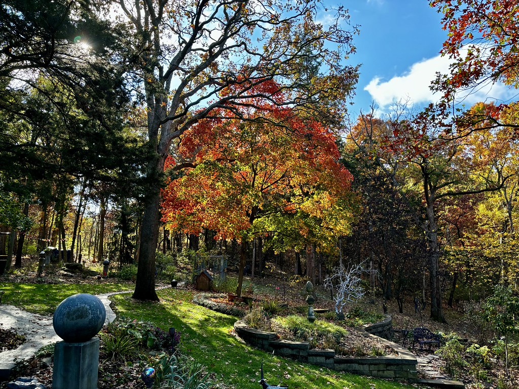 Towering OakHiking · ~1h 6m drivePhoto: smays, CC BY 2.0 (via Flickr)
- Cedar Creek - SouthHiking · ~1h 14m drive
- Cedar Creek Trail - Smith CreeHiking · ~1h 17m drive
- Paved TrailHiking · ~1h 6m drivePhoto: smays, CC BY 2.0 (via Flickr)
- Moreau Creek TrailHiking · ~1h 16m drive
- Gravel TrailHiking · ~1h 6m drivePhoto: smays, CC BY 2.0 (via Flickr)
Best time to visit Loop 3
Best months: March–June and September–November. Best months have typical highs of 55–85 °F, lows of 30 °F or warmer (32 °F where the station doesn't record snow), at most one snowy day and no more than 12 wet days.
Jan
40° / 21°
7 wet
Feb
46° / 24°
7 wet
Mar
56° / 33°
9 wet
Apr
67° / 43°
10 wet
May
75° / 53°
12 wet
Jun
83° / 62°
9 wet
Jul
88° / 66°
8 wet
Aug
87° / 64°
8 wet
Sep
80° / 55°
7 wet
Oct
69° / 44°
8 wet
Nov
56° / 34°
7 wet
Dec
44° / 25°
7 wet
Typical high / low (°F) and days with rain or snow, 1991–2020. Measured at Freedom, MO, 10.3 mi away at 805 ft. This station doesn't record snowfall. Source: NOAA NCEI U.S. Climate Normals 1991–2020.
