Katy Trail
 Photo: MoBikeFed, CC BY 2.0 (via Flickr)
- 1.1 mi
- round trip
- 48 ft
- climb
- 914 ft
- high point
- Out and back
- route
- Mar–Jun, Sep–Oct
- best months
Katy Trail is a short, easy hike in Missouri's Katy Trail State Park, managed by State Park and Recreation. The route is about 1.1 miles one way, with a total round-trip distance of about 2.3 miles. The trail is flat, with a high point of 914 feet and a low of 893 feet, and the steepest stretch comes at about 0.6 miles in, with a grade of about 2%. Spring and fall are the most comfortable times to go. Typical averages from a nearby weather station in Sedalia show October highs around 67°F and May highs around 74°F, while July averages climb to about 87°F. Bikes are allowed on the trail, but horses are not. Paddlers can find Muddy Creek about 5.4 miles away and Flat Creek about 10 miles away.
Source: Roamze catalog (indexable pages within 10 miles, PostGIS distance)
 Clearfork Woodland TrailHiking · ~34 min drivePhoto: nousernameforme, CC BY 2.0 (via Flickr)
- Opossum Hollow TrailHiking · ~38 min drive
- Moreau Creek TrailHiking · ~1h 21m drive
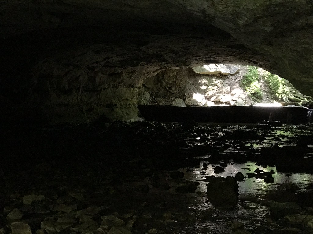 Deer Run TrailHiking · ~1h 24m drivePhoto: Charkrem, CC BY 2.0 (via Flickr)
- Buteo TrailHiking · ~34 min drive
- Discovery TrailHiking · ~34 min drive
- North Loop TrailHiking · ~35 min drive
- Hawk Nest TrailHiking · ~35 min drive
- Pierre a Fleche' TrailHiking · ~49 min drive
- Bluff Ridge TrailHiking · ~54 min drive
Best time to visit Katy Trail
Best months: March–June and September–October. Best months have typical highs of 55–85 °F, lows of 30 °F or warmer (32 °F where the station doesn't record snow), at most one snowy day and no more than 12 wet days.
Jan
39° / 21°
6 wet
Feb
44° / 25°
7 wet
Mar
55° / 35°
10 wet
Apr
65° / 44°
11 wet
May
74° / 54°
12 wet
Jun
83° / 64°
10 wet
Jul
87° / 67°
8 wet
Aug
86° / 65°
8 wet
Sep
79° / 57°
9 wet
Oct
67° / 46°
9 wet
Nov
54° / 35°
7 wet
Dec
43° / 26°
6 wet
Typical high / low (°F) and days with rain or snow, 1991–2020. Measured at Sedalia Mem Ap, MO, 1.6 mi away at 900 ft. This station doesn't record snowfall. Source: NOAA NCEI U.S. Climate Normals 1991–2020.
