Dewey Bald Trail
- 0.4 mi
- distance
- 57 ft
- climb
- 1,336 ft
- high point
- Lollipop
- route
- Mar–Jun, Sep–Nov
- best months
Dewey Bald Trail is a short, easy loop in Missouri, about 0.4 miles long and rising about 57 feet from a low point of 1,252 feet to a high of 1,336 feet. The trail starts near 1,328 feet and is a loop, so you return to the same point. The steepest stretch comes at about 0.2 miles in, with a grade of 8 percent, and the climb is gentle overall. The nearest town is Gretna, about 1.6 miles away. The trail is a quick outing, and the trip is estimated to take about half an hour. Spring and fall are the most comfortable times to go. Typical averages from a nearby weather station in Branson show May highs around 75°F and October highs around 70°F, while July and August average highs near 88°F. Several other trails sit close by. Glade Trail is about 0.3 miles away, Steamside Trail about 0.5 miles, and Shanes's Shortcut about 0.6 miles. For fishing, Indian Point is about 3.3 miles away.
Local outfitters
- Float Eureka31 mi away
- Kings River Outfitters31 mi away
Not on Roamze yet. Their page has how to reach them.
- Glade TrailHiking0.3 mi
- Steamside TrailHiking0.5 mi
- Shanes's ShortcutHiking0.6 mi
- Homesteaders TrailHiking1.9 mi
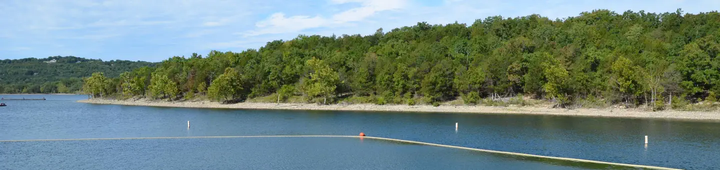 Indian PointLake fishing3.3 mi
- College of the Ozark routesRock climbing3.9 mi
- Table Rock LakeLake fishing6.7 mi
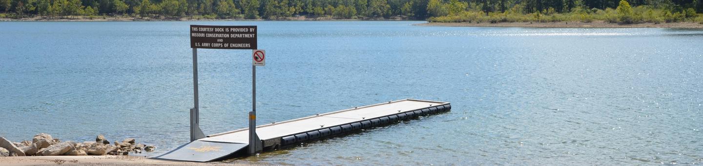 Old Highway 86River fishing6.8 mi
Source: Roamze catalog (indexable pages within 10 miles, PostGIS distance)
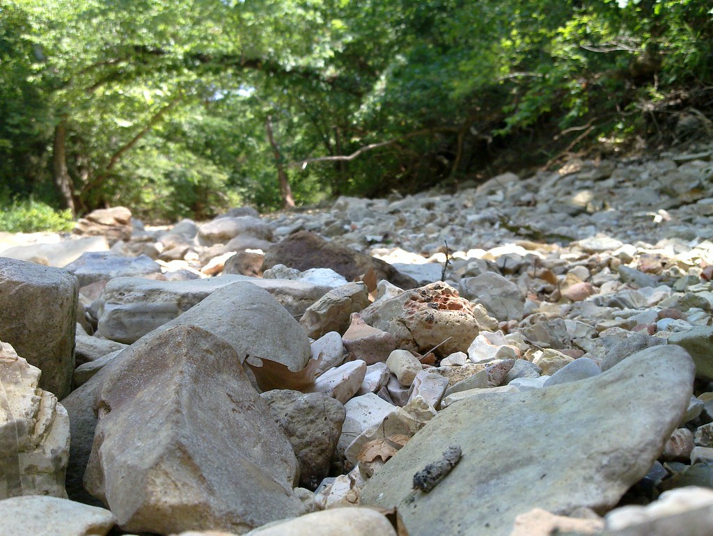 Piney Creek-Tower LoopHiking · ~29 min drivePhoto: My Blue Van, CC BY-SA 2.0 (via Flickr)
- Glade TrailHiking · Next door
- White River Valley Trail SystemHiking · ~7 min drive
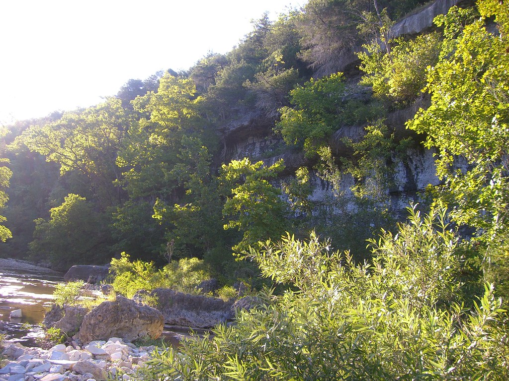 Hercules Glades-Coy BaldHiking · ~35 min drivePhoto: My Blue Van, CC BY-SA 2.0 (via Flickr)
- Steamside TrailHiking · Next door
- Busiek Yellow TrailHiking · ~25 min drive
- Busiek Purple TrailHiking · ~25 min drive
- Shanes's ShortcutHiking · ~1 min drive
- Busiek White TrailHiking · ~25 min drive
- Homesteaders TrailHiking · ~3 min drive
Best time to visit Dewey Bald Trail
Best months: March–June and September–November. Best months have typical highs of 55–85 °F, lows of 30 °F or warmer (32 °F where the station doesn't record snow), at most one snowy day and no more than 12 wet days.
Jan
43° / 27°
Feb
49° / 30°
Mar
58° / 38°
Apr
68° / 47°
May
75° / 56°
Jun
84° / 64°
Jul
88° / 69°
Aug
88° / 67°
Sep
80° / 59°
Oct
70° / 49°
Nov
58° / 38°
Dec
47° / 30°
Typical high / low (°F) and days with rain or snow, 1991–2020. Measured at Branson Ap, MO, 9.6 mi away at 1,286 ft. This station doesn't record snowfall. Source: NOAA NCEI U.S. Climate Normals 1991–2020.
Route details
- Distance
- 0.4 mi
- Climbing
- About 57 ft
- Summit
- 1,336 ft
- Difficulty
- Easy
- Time
- About 0 hours
Questions about this route
How long is the Dewey Bald Trail on Dewey Bald?
About 0.4 mi.
How much elevation gain is on the Dewey Bald Trail?
About 57 ft of climbing round trip.
How hard is the Dewey Bald Trail?
It is rated easy.
How long does the Dewey Bald Trail take?
About 0 hours round trip.
Conditions and forecast on Dewey Bald
Daily highs and lows, wind and the chance of precipitation at the summit and route start for the next 7 days, from the Open-Meteo model.
