Wolf Junction
- Mar–Jun, Sep–Nov
- best months
Is Wolf Junction open right now?
Alert in the area
The Forest Service lists 12 alerts for Mark Twain National Forest.
Crane Lake Dam
Agency alert covering Mark Twain National Forest · USFS · Mark Twain National Forest
Delays on Forest Road 557
Agency alert covering Mark Twain National Forest · USFS · Mark Twain National Forest
Forest Order - Trail 119 Closure Extended (Chadwick Motorized Trail System)
Agency alert covering Mark Twain National Forest · USFS · Mark Twain National Forest
Forest Order - Trail 119 Closure (Chadwick Motorized Trail System)
Agency alert covering Ava/Cassville/Willow Springs Ranger District · Order 09-05-21-26-06 · USFS · Ava/Cassville/Willow Springs Ranger District
Forest Order 09-05-21-26-03 National Forest System Road 566 Closure
Agency alert covering Ava/Cassville/Willow Springs Ranger District · Order 09-05-21-26-03 · USFS · Ava/Cassville/Willow Springs Ranger District
As of · Source: USFS · Mark Twain National Forest. Agencies don't list every closure — check before you go.
- At 1,385 ft
- Ava/Cassville/Willow Springs Ranger DistrictMark Twain National Forest
Wolf Junction is a campground in Missouri with 10 sites. It is managed by the Forest Service.
- Bateman - South BlueHiking0.2 mi
- Willie LeeCamping0.2 mi
- Bateman - East OrangeHiking2.2 mi
- Bateman - North YellowHiking2.4 mi
- Bateman - WhiteHiking2.4 mi
- Hercules Tower TrailheadCamping5.6 mi
- Little North Fork White RiverCanoeing6.9 mi
- Big CreekCanoeing8.7 mi
Source: Roamze catalog (indexable pages within 10 miles, PostGIS distance)
- Lakeview ParkCamping · ~44 min drive
- Cricket CreekCamping · ~55 min drive
- Cranfield ParkCamping · ~56 min drive
- GamalielCamping · ~1h 3m drive
- Henderson ParkCamping · ~1h 5m drive
- Robinson PointCamping · ~1h 6m drive
- Dam - QuarryCamping · ~1h 13m drive
- Buffalo PointCamping · ~1h 15m drive
- Willie LeeCamping · Next door
- BatemanCamping · ~4 min drive
Also worth it near here
 Bateman - East OrangeMountain biking · ~3 min drivePhoto: Semipaw, CC BY 3.0 (via Wikimedia Commons)
- Glade Top TrailScenic drive · ~8 min drive
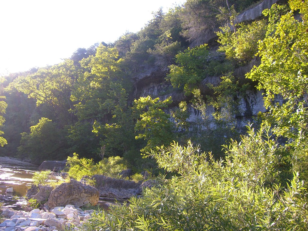 Hercules Glades-Coy BaldHiking · ~14 min drivePhoto: My Blue Van, CC BY-SA 2.0 (via Flickr)
 Beaver CreekCanoeing · ~27 min drivePhoto: Vsmith, CC BY-SA 4.0 (via Wikimedia Commons)
Best time to visit Wolf Junction
Best months: March–June and September–November. Best months have typical highs of 55–85 °F, lows of 30 °F or warmer (32 °F where the station doesn't record snow), at most one snowy day and no more than 12 wet days.
Jan
43° / 23°
7 wet
Feb
48° / 25°
7 wet
Mar
58° / 33°
10 wet
Apr
68° / 43°
11 wet
May
75° / 53°
12 wet
Jun
82° / 61°
10 wet
Jul
87° / 65°
9 wet
Aug
87° / 64°
9 wet
Sep
80° / 56°
7 wet
Oct
69° / 44°
8 wet
Nov
57° / 34°
8 wet
Dec
46° / 25°
8 wet
Typical high / low (°F) and days with rain or snow, 1991–2020. Measured at Ava 12sw, MO, 12.9 mi away at 1,197 ft. This station doesn't record snowfall. Source: NOAA NCEI U.S. Climate Normals 1991–2020.
