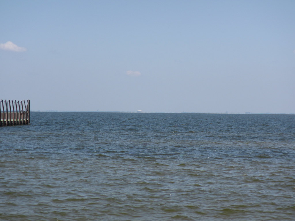
Saucier Creek
- 14.3 mi
- distance
- 161 ft
- high point
- Oct–May
- best months
Is Saucier Creek open right now?
Closure in the area
There's a closure order in National Forests in Mississippi. It doesn't name Saucier Creek, so check the source for the area it covers (2 listed).
Forest Order No. 08-11-37-23 Weapons
Agency closure covering National Forests in Mississippi · Order 08-11-37-23-152 · USFS · National Forests in Mississippi
Weapons Use FOREST ORDER NO. 08-11-37-23-152-1
Agency closure covering National Forests in Mississippi · USFS · National Forests in Mississippi
National Forests in Mississippi seeks community members to serve on advisory committee
Agency alert covering National Forests in Mississippi · USFS · National Forests in Mississippi
De Soto RD Temporary Recreation Site Closures
Agency alert covering National Forests in Mississippi · USFS · National Forests in Mississippi
Forest Closure Orders
Agency alert covering National Forests in Mississippi · Order 08-11-37-23-152 · USFS · National Forests in Mississippi
As of · Source: USFS · National Forests in Mississippi. Agencies don't list every closure — check before you go.
Saucier Creek is a 14-mile paddling stretch near Saucier, Mississippi, within the De Soto Ranger District of the National Forests in Mississippi. The creek is intermittent and may run dry in some seasons. USGS models an average flow of about 102 cubic feet per second and a gradient of about 9.9 feet per mile. Spring and fall are the most comfortable times to paddle. Typical averages from a nearby weather station show April highs around 77°F and October highs around 79°F, while July and August average about 90°F with the most wet days of the year. West Creek, a paddling route about 1.8 miles away, is the closest nearby option. The Tuxachanie Trail, about 3.6 miles off, offers hiking. Big Biloxi Rec Area, about 4.8 miles away, has camping. Tuxachanie Creek, about 6.3 miles away, is another paddling choice.
- West CreekCanoeing1.8 mi
- Tuxachanie TrailHiking3.6 mi
 Big Biloxi Rec AreaCampingPhoto: Mikeiamunion21, CC BY-SA 3.0 (via Wikimedia Commons)4.8 mi
- Tuxachanie CreekCanoeing6.3 mi
- Biloxi RiverCanoeing9.4 mi
- Hurricane CreekCanoeing9.7 mi
- Little Biloxi RiverCanoeing9.8 mi
Source: Roamze catalog (indexable pages within 10 miles, PostGIS distance)
 Red CreekCanoeing · ~54 min drivePhoto: Woodlot at English Wikipedia), CC BY-SA 3.0 (via Wikimedia Commons)
- Causeway Park Boat RampBoat launch · ~27 min drive
- West CreekCanoeing · ~3 min drive
- Boat RampsBoat launch · ~41 min drive
- Tuxachanie CreekCanoeing · ~11 min drive
- Janice LandingBoat launch · ~43 min drive
- Biloxi RiverCanoeing · ~16 min drive
- Cedar Point Boat LaunchBoat launch · ~44 min drive
- Hurricane CreekCanoeing · ~17 min drive
- Moodys LandingBoat launch · ~50 min drive
Best time to visit Saucier Creek
Best months: October–May. Best months have typical highs of 55–85 °F, lows of 30 °F or warmer (32 °F where the station doesn't record snow), at most one snowy day and no more than 12 wet days.
Jan
61° / 41°
10 wet
Feb
66° / 44°
9 wet
Mar
71° / 49°
9 wet
Apr
77° / 55°
7 wet
May
84° / 63°
8 wet
Jun
88° / 69°
11 wet
Jul
90° / 71°
13 wet
Aug
90° / 71°
12 wet
Sep
87° / 67°
9 wet
Oct
79° / 57°
7 wet
Nov
70° / 47°
7 wet
Dec
64° / 42°
9 wet
Typical high / low (°F) and days with rain or snow, 1991–2020. Measured at Saucier Exp Forest, MS, 2.1 mi away at 229 ft. Source: NOAA NCEI U.S. Climate Normals 1991–2020.