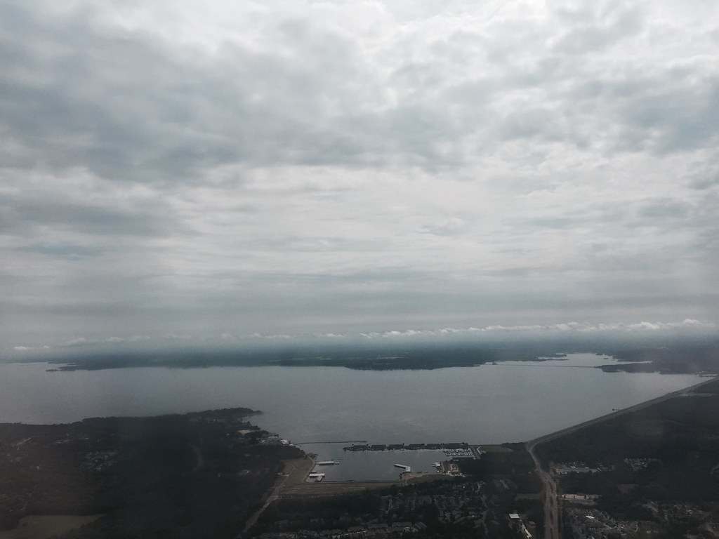
Perry Creek
- 8.3 mi
- distance
- 212 ft
- high point
- Oct–May
- best months
Clear at last check
Weather is good · OpenWeather · checked 17 h ago
Perry Creek is a canoeing spot in Mississippi, about 8 miles from the town of Tinsley. It is a paddling destination rather than a trail, so there is no climb to plan for, and the route is measured in miles of water rather than steps on foot. Spring and fall are the most comfortable times to paddle. Typical averages from a nearby weather station show April highs around 77°F and October highs around 78°F, while July and August average in the low 90s. Other paddling is close by. O'Neil Creek is about 3 miles away, and Short Creek is about 8.5 miles away. For time on land, the Rialto Walking Trail is roughly 8 miles from Perry Creek.
Source: Roamze catalog (indexable pages within 10 miles, PostGIS distance)
 Deer CreekCanoeing · ~1h 11m drivePhoto: Magnolia677, CC BY 4.0 (via Wikimedia Commons)
- Pat Murphy Landing Boat RampBoat launch · ~16 min drive
- O'Neil CreekCanoeing · ~5 min drive
- Little Sunflower Boat RampBoat launch · ~32 min drive
- Short CreekCanoeing · ~15 min drive
- Collins CreekCanoeing · ~24 min drive
- Bogue Chitto CreekCanoeing · ~30 min drive
- Porter CreekCanoeing · ~31 min drive
- Limekiln CreekCanoeing · ~33 min drive
- Little Sunflower RiverCanoeing · ~37 min drive
Best time to visit Perry Creek
Best months: October–May. Best months have typical highs of 55–85 °F, lows of 30 °F or warmer (32 °F where the station doesn't record snow), at most one snowy day and no more than 12 wet days.
Jan
57° / 35°
Feb
62° / 38°
Mar
70° / 45°
Apr
77° / 53°
May
84° / 61°
Jun
89° / 68°
Jul
92° / 71°
Aug
93° / 70°
Sep
88° / 64°
Oct
78° / 53°
Nov
68° / 43°
Dec
59° / 37°
Typical high / low (°F) and days with rain or snow, 1991–2020. Measured at Satartia 8 Sw, MS, 12.1 mi away at 141 ft. This station doesn't record snowfall. Source: NOAA NCEI U.S. Climate Normals 1991–2020.