 Photo: Jet Lowe, Public domain (via Wikimedia Commons)
Mississippi · Paddling
Paddling in Mississippi
367 spots9 townsUpdated weeklyFree to access
View on mapPaddling · 200 spots
Featured spots
Photo: Jet Lowe, Public domain (via Wikimedia Commons)Canoeing
Big Black River
Eupora, Mississippi
 Photo: Richard apple, CC BY-SA 3.0 (via Wikimedia Commons)
Canoeing
Big Sunflower River
Clarksdale, Mississippi
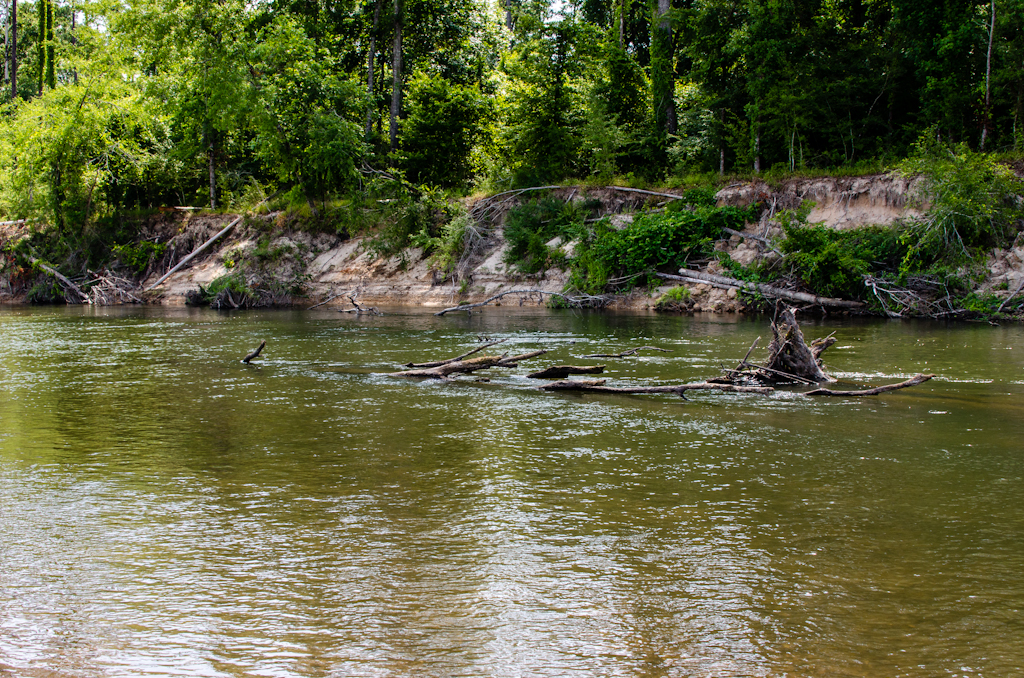 Photo: mcandrus, CC BY 2.0 (via Wikimedia Commons)
Canoeing
Bogue Chitto
Bogue Chitto, Mississippi
 Photo: United States National Weather Service, Public domain (via Wikimedia Commons)
Canoeing
Coldwater River
Holly Springs, Mississippi
 Photo: Magnolia677, CC BY 4.0 (via Wikimedia Commons)
Canoeing
Deer Creek
Hollandale, Mississippi
All spots · 200 of 367 spots

Boat launch
588 Boat Ramp
Mississippi

Canoeing
Abiaca Creek
Cruger, Mississippi
Canoeing
Alligator Creek
Poplarville, Mississippi
Boat launch
Amory Boat Ramp
Mississippi

Canoeing
Apookta Creek
Kosciusko, Mississippi

Canoeing
Archusa Creek
Quitman, Mississippi
Canoeing
Arkabutla Creek
Como, Mississippi
Canoeing
Ascalmore Creek
Cascilla, Mississippi
Canoeing
Atkinson Creek
Leakesville, Mississippi

Canoeing
Bahala Creek
Wesson, Mississippi
Canoeing
Bakers Creek
Bolton, Mississippi
Canoeing
Bales Creek
Meridian, Mississippi
Canoeing
Balucta Creek
Lena, Mississippi

Canoeing
Bayou Pierre
Wesson, Mississippi
Canoeing
Bear Bayou
Indianola, Mississippi
Canoeing
Bear Creek
Belzoni, Mississippi
Canoeing
Bear Creek
Canton, Mississippi
Canoeing
Beartail Creek
Coldwater, Mississippi
Canoeing
Beaver Branch
Natchez, Mississippi
Canoeing
Beaver Creek
Gloster, Mississippi
Canoeing
Beaver Creek
Woodville, Mississippi
Canoeing
Beaverdam Creek
Wiggins, Mississippi
Canoeing
Bibalucta Creek
Kosciusko, Mississippi
Canoeing
Big Brown Creek
Booneville, Mississippi
Keep exploring — more water worth the drive
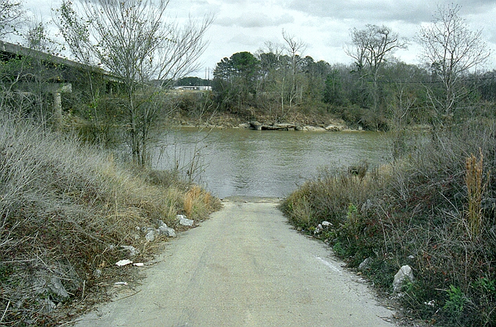 Photo: The original uploader was Malepheasant at English Wikipedia., CC BY-SA 2.5 (via Wikimedia Commons)
Leaf River
~58 min drive
Leaf River is a 22-mile paddling stretch near Forest, Mississippi. It is intermittent and may run dry in some seasons. USGS models an average flow of about 1,311 cfs and a gradient of about 6.3 feet per mile. Land along it is managed by the U.S. Forest Service.
Sweetwater Creek
~5 min drive
Sweetwater Creek is a 6-mile paddling stretch near Lena, Mississippi. It is intermittent and may run dry in some seasons. USGS models an average flow of about 136 cfs and a gradient of about 10.4 feet per mile.
Balucta Creek
~15 min drive
Balucta Creek is a 20-mile paddling stretch near Lena, Mississippi. It is intermittent and may run dry in some seasons. USGS models an average flow of about 77 cfs and a gradient of about 3.9 feet per mile.
Standing Pine Creek
~18 min drive
Standing Pine Creek is a 6.7-mile paddling stretch near Walnut Grove, Mississippi. It flows year-round. USGS models an average flow of about 54 cfs and a gradient of about 11.9 feet per mile.
Shiola Creek
~18 min drive
Shiola Creek is a 9.4-mile paddling stretch near Carthage, Mississippi. It is intermittent and may run dry in some seasons. USGS models an average flow of about 37 cfs and a gradient of about 10.6 feet per mile.
Shockaloo Creek
~22 min drive
Shockaloo Creek is a 21-mile paddling stretch near Forest, Mississippi. It is intermittent and may run dry in some seasons. USGS models an average flow of about 84 cfs and a gradient of about 3.5 feet per mile.
Cobbs Creek
~24 min drive
Cobbs Creek is a 14-mile paddling stretch near Carthage, Mississippi. It is intermittent and may run dry in some seasons. USGS models an average flow of about 54 cfs and a gradient of about 5.5 feet per mile.
Coffee Bogue
~24 min drive
Coffee Bogue is a 31-mile paddling stretch near Morton, Mississippi. It is intermittent and may run dry in some seasons. USGS models an average flow of about 136 cfs and a gradient of about 3.3 feet per mile.
Luneluah Creek
~25 min drive
Luneluah Creek is a 11-mile paddling stretch near Philadelphia, Mississippi. It is intermittent and may run dry in some seasons. USGS models an average flow of about 33 cfs and a gradient of about 10.6 feet per mile.
Tom Branch
~28 min drive
Tom Branch is a 1.6-mile paddling stretch near Conehatta, Mississippi. It flows year-round. USGS models an average flow of about 30 cfs and a gradient of about 14.5 feet per mile.
Sipsey Creek
~29 min drive
Sipsey Creek is a 14-mile paddling stretch near Union, Mississippi. It is intermittent and may run dry in some seasons. USGS models an average flow of about 94 cfs and a gradient of about 7.5 feet per mile.
Kentuctah Creek
~34 min drive
Kentuctah Creek is an 8.7-mile paddling stretch near Camden, Mississippi. It flows year-round. USGS models an average flow of about 65 cfs and a gradient of about 4.3 feet per mile.

