Beachfront Promenade
- 1.7 mi
- round trip
- 47 ft
- climb
- 10 ft
- high point
- Out and back
- route
- Oct–May
- best months
Beachfront Promenade is an easy, flat out-and-back hike in Mississippi, about 0.3 miles from Edgewater Park. The route is 3.3 miles long, with a total climb of about 47 feet and a total descent of about 47 feet, so it's nearly level from start to finish. The steepest stretch comes at about 1.1 miles in, with a grade of about 2 percent. Spring and fall are the most comfortable times to go. Typical averages from a nearby weather station in Biloxi show April highs around 76°F and October highs around 79°F, while July and August average about 90°F with the most wet days of the year. The trail is short and low-impact, making it a simple addition to a day spent in Edgewater Park.
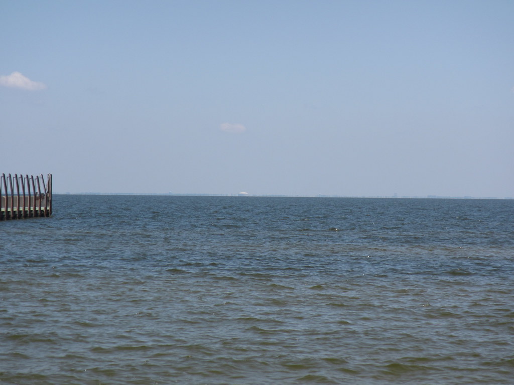 WSI Cross Over BoardwalkHiking · ~21 min drivePhoto: ClayJar.com, CC BY 2.0 (via Flickr)
 Savanna TrailHiking · ~58 min drivePhoto: kitmasterbloke, CC BY 2.0 (via Flickr)
 Jim Schmidt Boardwalk And TrailHiking · ~1h 13m drivePhoto: aaronstrout, CC BY 2.0 (via Flickr)
- Biloxi BoardwalkHiking · ~10 min drive
- DB Public Fishing Pier TrailHiking · ~20 min drive
- DB Natures Way TrailHiking · ~20 min drive
- DB Davis Bayou TrailHiking · ~20 min drive
- Fontainebleau Nature TrailHiking · ~24 min drive
- C. L. Dees Nature TrailHiking · ~35 min drive
- HI Ranger Station TrailHiking · ~38 min drive
Best time to visit Beachfront Promenade
Best months: October–May. Best months have typical highs of 55–85 °F, lows of 30 °F or warmer (32 °F where the station doesn't record snow), at most one snowy day and no more than 12 wet days.
Jan
60° / 44°
10 wet
Feb
63° / 47°
9 wet
Mar
69° / 53°
8 wet
Apr
76° / 60°
7 wet
May
83° / 68°
8 wet
Jun
88° / 74°
11 wet
Jul
90° / 75°
14 wet
Aug
90° / 75°
13 wet
Sep
87° / 72°
9 wet
Oct
79° / 62°
7 wet
Nov
69° / 51°
7 wet
Dec
62° / 46°
9 wet
Typical high / low (°F) and days with rain or snow, 1991–2020. Measured at Biloxi, MS, 0.7 mi away at 10 ft. Source: NOAA NCEI U.S. Climate Normals 1991–2020.

Map and trail data © OpenStreetMap contributors
