Skidalen
- 0.5 mi
- round trip
- 99 ft
- climb
- 1,446 ft
- high point
- Out and back
- route
- May–Oct
- best months
Caution at last check
Weather is marginal · OpenWeather · checked 15 h ago
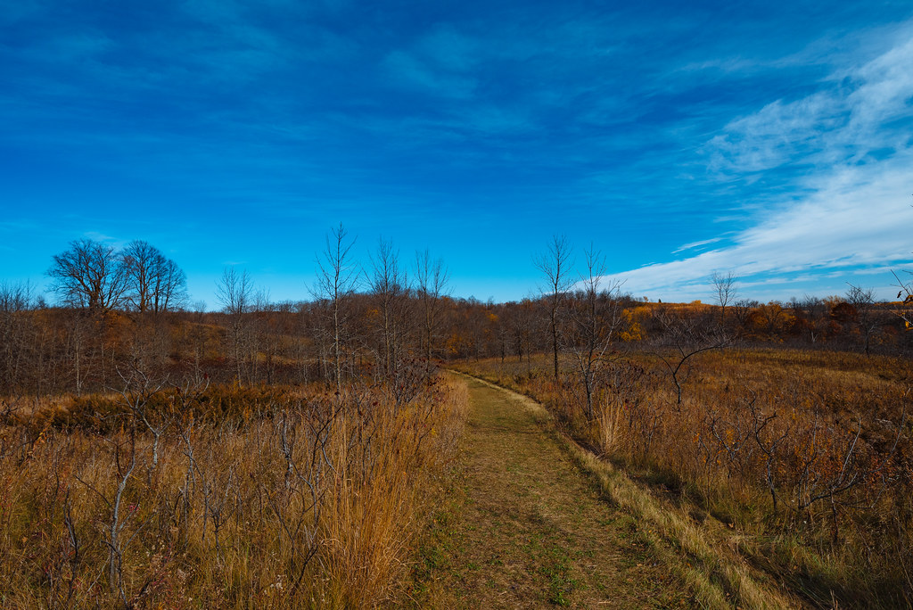
Skidalen is a cross-country ski route in Minnesota, about 3 miles from the town of Edwards. It is a short out-and-back, roughly a mile long, with a high point of about 1,446 feet and a low of about 1,400 feet. The climb is rated hard, and the route gains and loses about 100 feet in total, with the steepest stretch at about 8% grade near the start. Winter is the natural season for this ski route. Typical averages from a nearby weather station in Fergus Falls show January highs around 18°F with lows near 0°F, while March runs warmer, with highs around 36°F. The station sits a few hundred feet lower than the route, so temperatures on the trail may run slightly cooler. Several other cross-country ski routes lie close by, including Liz's Loop about 0.1 mile away and Emma's and Deer Meadow each about 0.2 mile away. For hiking, the Red River To LLC trail is about 5 miles off.
Best time to go · May–Oct
Best time to visit Skidalen
Best months: May–October. Best months have typical highs of 55–85 °F, lows of 30 °F or warmer (32 °F where the station doesn't record snow), at most one snowy day and no more than 12 wet days.
Jan
18° / 0°
4 wet
Feb
22° / 3°
3 wet
Mar
36° / 18°
4 wet
Apr
53° / 32°
5 wet
May
67° / 45°
8 wet
Jun
76° / 56°
9 wet
Jul
81° / 61°
8 wet
Aug
79° / 57°
6 wet
Sep
71° / 49°
6 wet
Oct
56° / 35°
5 wet
Nov
38° / 21°
4 wet
Dec
24° / 8°
4 wet
Typical high / low (°F) and days with rain or snow, 1991–2020. Measured at Fergus Falls, MN, 12.3 mi away at 1,250 ft. This station doesn't record snowfall. Source: NOAA NCEI U.S. Climate Normals 1991–2020.
Keep exploring — more snow worth the drive
SEE
Detroit Mountain
~48 min drive
Detroit Mountain in Minnesota has 4 lifts and 16 runs (5 easy, 7 intermediate, 4 advanced) with 197 ft of vertical drop.
SKI
Liz's Loop
Next door
0.46-mile out-and-back ski out-and-back in Minnesota with 75 ft of elevation gain.
SKI
Wavy Gravy
~1h 11m drive
0.41-mile out-and-back route in Minnesota with 70 feet of elevation gain.
SKI
Sap Run
~1h 11m drive
0.75-mile out-and-back ski trail in Minnesota with 119 ft of elevation gain.
SKI
Deer Meadow
Next door
0.55-mile loop in Minnesota with 100 ft of elevation gain.
SKI
Skater's Waltz
~1h 11m drive
0.54-mile out-and-back ski trail in Minnesota with 185 ft elevation gain.
SKI
Poki Loki
~1h 11m drive
0.38-mile out-and-back ski trail in Minnesota with 43 ft of elevation gain.
SKI
Wavy Gravy
~1h 11m drive
0.12-mile out-and-back ski route in Minnesota with 46 ft of elevation gain.
SKI
Skater's Waltz
~1h 11m drive
1.57-mile out-and-back route in Minnesota with 204 ft of elevation gain.
SKI
Sukkerbusk
~1h 11m drive
0.14-mile out-and-back ski trail in Minnesota with 6 feet of elevation gain.


Map and trail data © OpenStreetMap contributors
