Hannah's Trail
- 0.9 mi
- round trip
- 133 ft
- climb
- 1,439 ft
- high point
- Out and back
- route
- May–Sep
- best months
Is Hannah's Trail open right now?
Closure in the area
There's a closure order in Superior National Forest. It doesn't name Hannah's Trail, so check the source for the area it covers.
Post Wildfire Closures, Effective October 1, 2026
Agency closure covering Superior National Forest · Order 09-09-00-26-11 · USFS · Superior National Forest
Forest Road Improvement Projects
Agency alert covering Superior National Forest · USFS · Superior National Forest
As of · Source: USFS · Superior National Forest. Agencies don't list every closure — check before you go.
Hannah's Trail is a short, easy cross-country ski route in the Kawishiwi Ranger District of Superior National Forest in northeastern Minnesota. The trail is an out-and-back of about 1.9 miles, with a total climb of 133 feet and a high point of 1,439 feet. The route is back-loaded, with the steepest stretch at about 0.54 miles in, where the grade reaches 4 percent. Winter is the natural season for this trail. Typical averages from a nearby weather station in Ely show January highs around 16°F with lows near -4°F, while February runs a little milder at about 22°F. Summer is warm, with July highs near 77°F and lows around 56°F. The trail sits close to several other routes. Sommers Loop and Hidden Valley Bambas Loop are each about 0.1 mile away, and Voyaguer's Highway is about 0.2 mile off. For an overnight stay, Fall Lake campground is about 5 miles away.
- Sommers LoopCross-country skiing0.1 mi
- Hidden Valley Bambas LoopCross-country skiing0.1 mi
- HIDDEN VALLEY SOMMER LOOPHiking0.1 mi
- Voyaguer's HighwayCross-country skiing0.2 mi
 Fall LakeCampingPhoto: Recreation.gov (RIDB) / public domain5.2 mi
- Circle RouteCanoeing6 mi
- South Kawishiwi RiverCanoeing6.7 mi
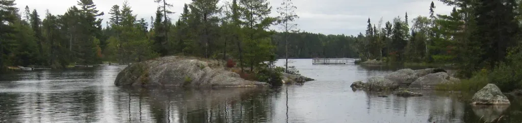 Fenske Lake CampgroundPier fishingPhoto: Recreation.gov (RIDB) / public domain8.1 mi
Source: Roamze catalog (indexable pages within 10 miles, PostGIS distance)
- Hidden Valley Bambas LoopCross-country skiing · Next door
- Hidden Valley DeerCross-country skiing · ~1 min drive
- Kawishiwi Triangle Beaver PondCross-country skiing · ~5 min drive
- Kawishiwi Triangle CrocketCross-country skiing · ~6 min drive
- Kawishiwi Triangle Iron BirchCross-country skiing · ~7 min drive
- Hidden Valley Pine Park ConnecCross-country skiing · ~1 min drive
- Kawishiwi Triangle Lone PineCross-country skiing · ~5 min drive
- Voyaguer's HighwayCross-country skiing · Next door
- Sommers LoopCross-country skiing · Next door
- Hidden Valley Pine ParkCross-country skiing · ~2 min drive
Best time to visit Hannah's Trail
Best months: May–September. Best months have typical highs of 55–85 °F, lows of 30 °F or warmer (32 °F where the station doesn't record snow), at most one snowy day and no more than 12 wet days.
Jan
16° / -4°
Feb
22° / 0°
Mar
36° / 14°
Apr
49° / 27°
May
62° / 41°
Jun
72° / 51°
Jul
77° / 56°
Aug
75° / 55°
Sep
66° / 46°
Oct
51° / 33°
Nov
35° / 20°
Dec
21° / 4°
Typical high / low (°F) and days with rain or snow, 1991–2020. Measured at Ely, MN, 1.2 mi away at 1,475 ft. This station doesn't record snowfall. Source: NOAA NCEI U.S. Climate Normals 1991–2020.
Closures we've recorded since August 2026
Forest-wide Fire Restrictions
Superior National Forest · Order dated July 12, 2026; seen Aug 23, 2026 → lifted Aug 25, 2026 · Forest Service

Map and trail data © OpenStreetMap contributors
