Flathorn Trail
- 0.9 mi
- round trip
- 284 ft
- climb
- 1,800 ft
- high point
- Out and back
- route
- May–Sep
- best months
Is Flathorn Trail open right now?
Closure in the area
There's a closure order in Superior National Forest. It doesn't name Flathorn Trail, so check the source for the area it covers.
Post Wildfire Closures, Effective October 1, 2026
Agency closure covering Superior National Forest · Order 09-09-00-26-11 · USFS · Superior National Forest
Forest Road Improvement Projects
Agency alert covering Superior National Forest · USFS · Superior National Forest
As of · Source: USFS · Superior National Forest. Agencies don't list every closure — check before you go.
Flathorn Trail is a short, easy cross-country ski route in the Tofte Ranger District of Superior National Forest in Minnesota, managed by the Forest Service. The trail is an out-and-back of about 1.7 miles, with a high point of 1,800 feet and a low of 1,769 feet. The climb is gentle, with a total elevation gain of 21 feet, and the steepest stretch comes at about 0.7 miles in, with a grade of 7 percent. Winter is the natural season for this trail. Typical averages from a nearby weather station show January highs around 16°F with lows near -5°F, while July highs reach about 76°F. The station sits a few hundred feet lower than the trail, so temperatures on the route run slightly cooler. Several Gegoka Flathorn Connector routes lie within a mile, including Connector A at 0.2 miles and Connector J at 0.4 miles. For an overnight stay, Little Isabella River Campground is about 2.1 miles away, and McDougal Lake Campground is about 3.5 miles away.
Local outfitters
- Sawtooth Outfitters30 mi away
Not on Roamze yet. Their page has how to reach them.
- Gegoka Flathorn Connector AHiking0.2 mi
- Gegoka Flathorn Connector JHiking0.4 mi
- Gegoka Flathorn Connector DHiking0.8 mi
- Gegoka Flathorn Connector BHiking1 mi
- Gegoka Flathorn Connector FHiking1.1 mi
- Little Isabella River CampgroundCamping2.1 mi
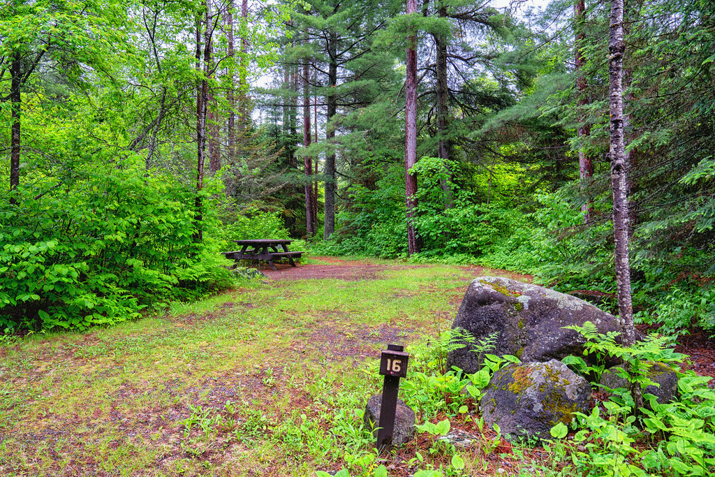 Mcdougal Lake CgCampingPhoto: Tony Webster — CC BY-SA 2.0 (via Flickr)3.5 mi
- Eighteen Lake Rustic CampgroundCamping5.7 mi
Source: Roamze catalog (indexable pages within 10 miles, PostGIS distance)
- Gegoka Flathorn Connector JCross-country skiing · ~1 min drive
- Snake Creek WinterCross-country skiing · ~14 min drive
- Cobalt Creek WinterCross-country skiing · ~24 min drive
- South Farm LakeCross-country skiing · ~33 min drive
- Gegoka Flathorn Connector DCross-country skiing · ~1 min drive
- August Creek WinterCross-country skiing · ~21 min drive
- Filson WinterCross-country skiing · ~28 min drive
- Seven BeaversCross-country skiing · ~28 min drive
- Gegoka Flathorn Connector BCross-country skiing · ~2 min drive
- Old Man Winter DogsledCross-country skiing · ~27 min drive
Best time to visit Flathorn Trail
Best months: May–September. Best months have typical highs of 55–85 °F, lows of 30 °F or warmer (32 °F where the station doesn't record snow), at most one snowy day and no more than 12 wet days.
Jan
16° / -5°
Feb
22° / -3°
Mar
34° / 11°
Apr
48° / 25°
May
63° / 38°
Jun
71° / 48°
Jul
76° / 53°
Aug
75° / 51°
Sep
65° / 43°
Oct
50° / 32°
Nov
34° / 19°
Dec
22° / 4°
Typical high / low (°F) and days with rain or snow, 1991–2020. Measured at Isabella 14w, MN, 9.8 mi away at 1,740 ft. This station doesn't record snowfall. Source: NOAA NCEI U.S. Climate Normals 1991–2020.
Closures we've recorded since August 2026
Forest-wide Fire Restrictions
Superior National Forest · Order dated July 12, 2026; seen Aug 23, 2026 → lifted Aug 25, 2026 · Forest Service


Map and trail data © OpenStreetMap contributors
