South Fork Nemadji River
- 9.7 mi
- distance
- 867 ft
- high point
- May–Sep
- best months
The South Fork Nemadji River is a 9.7-mile paddling stretch near Wrenshall, Minnesota, about 2.4 miles from the town of Pleasant Valley. It flows year-round, and USGS models an average flow of about 72 cubic feet per second with a gradient of about 15.9 feet per mile. Summer is the most comfortable time to paddle. Typical averages from a nearby weather station in Foxboro, Wisconsin, run to highs around 78°F in July and 72°F in June, while January highs average about 20°F. The Nemadji River, another paddling route, lies about 6 miles away. The University of Wisconsin-Superior offers hiking about 6.2 miles off. The Superior Hiking Trail and Bear Chase Trails, both cross-country ski routes, are each roughly 8.7 miles away.
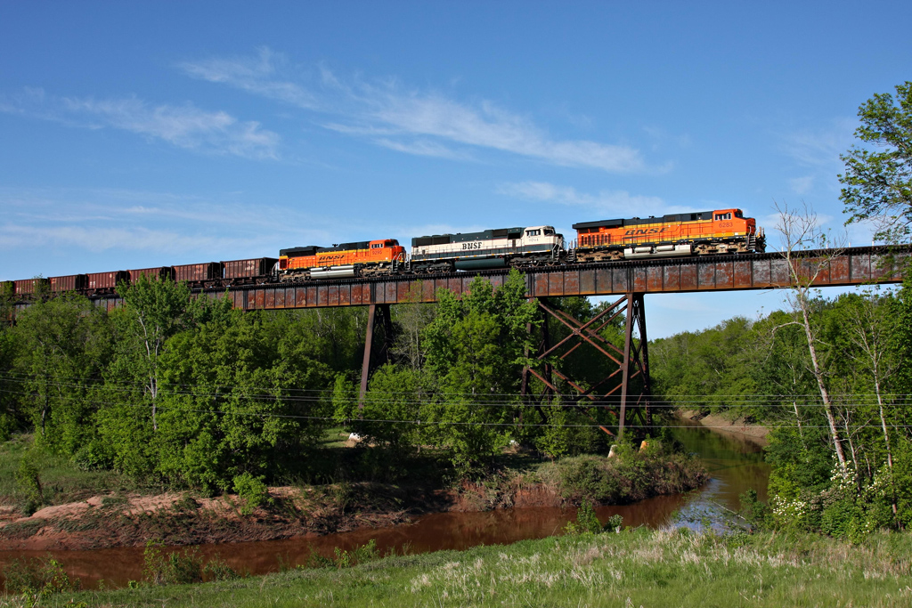 Nemadji RiverCanoeingPhoto: Jerry Huddleston, CC BY 2.0 (via Wikimedia Commons)6 mi
- University Of Wisconsin-SuperiorHiking6.2 mi
- Superior Hiking TrailCross-country skiing8.6 mi
- Bear Chase TrailsCross-country skiing8.7 mi
- Summer TrailCross-country skiing8.9 mi
- Ash Ridge Campsite TrailCross-country skiing9.4 mi
- High Landing Campsite TrailCross-country skiing9.4 mi
- Lower Lake TrailCross-country skiing9.5 mi
Source: Roamze catalog (indexable pages within 10 miles, PostGIS distance)
- Nemadji RiverCanoeing · ~10 min drivePhoto: Jerry Huddleston, CC BY 2.0 (via Wikimedia Commons)
- Woodstock Bay LandingBoat launch · ~30 min drive
 Kettle RiverCanoeing · ~41 min drivePhoto: Brwerner at English Wikipedia, CC BY-SA 3.0 (via Wikimedia Commons)
- Arrowhead Boat LaunchBoat launch · ~31 min drive
- Amnicon RiverCanoeing · ~30 min drive
- Loon's Foot LandingBoat launch · ~36 min drive
- Lake Superior Water TrailCanoeing · ~41 min drive
- Lake Nebagamon Boat LaunchBoat launch · ~55 min drive
- Stoney BrookCanoeing · ~45 min drive
- McQuade Small Craft HarborBoat launch · ~58 min drive
Best time to visit South Fork Nemadji River
Best months: May–September. Best months have typical highs of 55–85 °F, lows of 30 °F or warmer (32 °F where the station doesn't record snow), at most one snowy day and no more than 12 wet days.
Jan
20° / 0°
Feb
26° / 4°
Mar
38° / 16°
Apr
50° / 27°
May
63° / 37°
Jun
72° / 46°
Jul
78° / 54°
Aug
76° / 53°
Sep
68° / 45°
Oct
54° / 34°
Nov
38° / 21°
Dec
25° / 8°
Typical high / low (°F) and days with rain or snow, 1991–2020. Measured at Foxboro, WI, 4.2 mi away at 932 ft. This station doesn't record snowfall. Source: NOAA NCEI U.S. Climate Normals 1991–2020.
