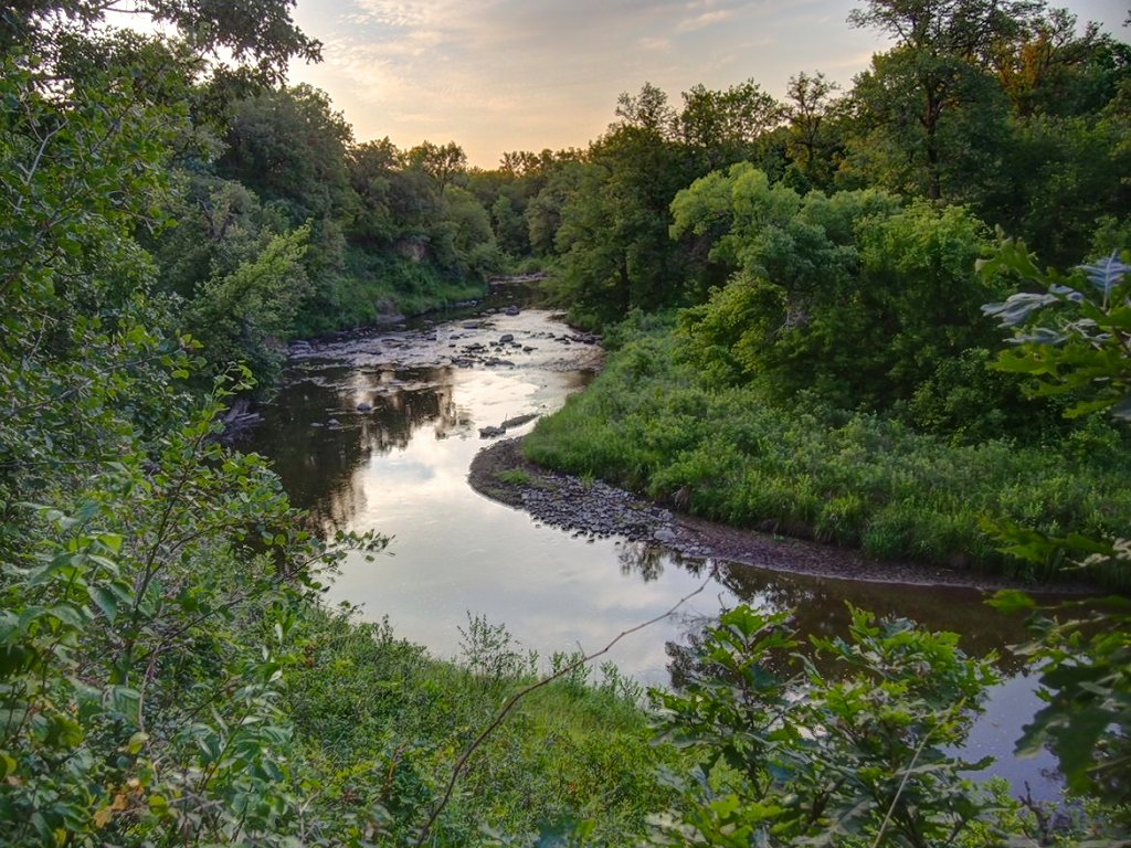
Sand Hill River
 Photo: Mathieu Nicklay, CC BY-SA 3.0 (via Wikimedia Commons)
- 81.4 mi
- distance
- 1,275 ft
- high point
- May–Sep
- best months
Sand Hill River is a canoeing destination in northern Minnesota, about 2 miles from the town of Fertile. It is a paddling route rather than a trail, so there is no climb to plan around, and the distance to the nearest town makes it an easy stop for anyone already in the area. Summer is the most comfortable time to paddle. Typical averages from a nearby weather station in Mahnomen show July highs around 79°F with lows near 58°F, while winter is severe, with January highs around 15°F and lows near -3°F. For a change of pace on land, the Agassiz Recreational Trail is about 4.4 miles away.
Source: Roamze catalog (indexable pages within 10 miles, PostGIS distance)
 Marsh RiverCanoeing · ~44 min drivePhoto: credit: U.S. Geological Survey Department of the Interior/USGS U.S. Geological Survey/photo by Jane Doe, Public domain (via Wikimedia Commons)
 Buffalo RiverCanoeing · ~1h 11m drivePhoto: McGhiever, CC BY-SA 3.0 (via Wikimedia Commons)
- Lost RiverCanoeing · ~49 min drive
- Red Lake RiverCanoeing · ~52 min drive
- Wild Rice RiverCanoeing · ~56 min drive
Best time to visit Sand Hill River
Best months: May–September. Best months have typical highs of 55–85 °F, lows of 30 °F or warmer (32 °F where the station doesn't record snow), at most one snowy day and no more than 12 wet days.
Jan
15° / -3°
Feb
21° / 2°
Mar
34° / 15°
Apr
52° / 30°
May
66° / 43°
Jun
74° / 54°
Jul
79° / 58°
Aug
78° / 55°
Sep
69° / 47°
Oct
54° / 34°
Nov
34° / 20°
Dec
21° / 6°
Typical high / low (°F) and days with rain or snow, 1991–2020. Measured at Mahnomen, MN, 19.6 mi away at 1,212 ft. This station doesn't record snowfall. Source: NOAA NCEI U.S. Climate Normals 1991–2020.
