Le Sueur River
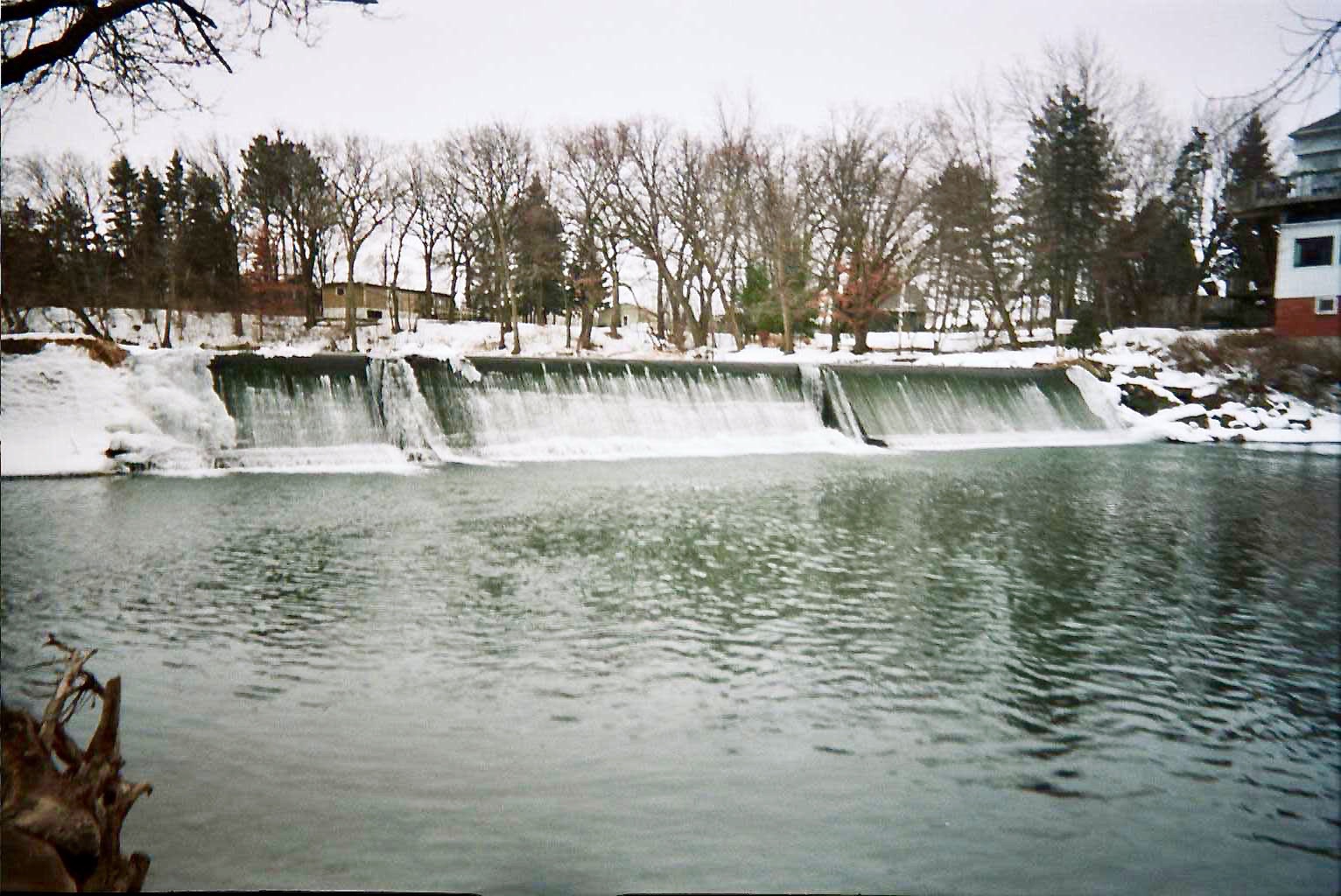
 Photo: Tim Kiser (w:User:Malepheasant), CC BY-SA 2.5 (via Wikimedia Commons)
- 103 mi
- distance
- 1,240 ft
- high point
- Apr, Jul–Oct
- best months
Le Sueur River is a 103-mile paddling stretch near Janesville, Minnesota. It flows year-round. USGS models an average flow of about 648 cfs and a gradient of about 4.6 feet per mile.
 Straight RiverCanoeing · ~39 min drivePhoto: Tim Kiser (w:User:Malepheasant), CC BY-SA 2.5 (via Wikimedia Commons)
- North Shore Park AccessBoat launch · ~22 min drive
 Blue Earth RiverCanoeing · ~1h 1m drivePhoto: Tim Kiser (w:User:Malepheasant), CC BY-SA 2.5 (via Wikimedia Commons)
- Duck Lake County Park AccessBoat launch · ~23 min drive
 Cedar RiverCanoeing · ~1h 8m drivePhoto: Hraefen at English Wikipedia, Public domain (via Wikimedia Commons)
- Minnesota Lake Latusek LandingBoat launch · ~26 min drive
 Little Cannon RiverCanoeing · ~1h 19m drivePhoto: G. Moore, CC BY-SA 4.0 (via Wikimedia Commons)
- Cobb RiverCanoeing · ~18 min drive
- Maple RiverCanoeing · ~28 min drive
- Cannon RiverCanoeing · ~37 min drive
Best time to visit Le Sueur River
Best months: April and July–October. Best months have typical highs of 55–85 °F, lows of 30 °F or warmer (32 °F where the station doesn't record snow), at most one snowy day and no more than 12 wet days.
Jan
22° / 5°
9 wet
Feb
26° / 9°
8 wet
Mar
39° / 22°
10 wet
Apr
55° / 35°
12 wet
May
68° / 48°
14 wet
Jun
78° / 59°
13 wet
Jul
81° / 61°
11 wet
Aug
79° / 59°
11 wet
Sep
73° / 50°
10 wet
Oct
59° / 37°
10 wet
Nov
41° / 24°
8 wet
Dec
28° / 12°
9 wet
Typical high / low (°F) and days with rain or snow, 1991–2020. Measured at Waseca S Rsch & Outreach Ctr, MN, 9.5 mi away at 1,153 ft. This station doesn't record snowfall. Source: NOAA NCEI U.S. Climate Normals 1991–2020.
