Head o Lakes Public Water Access Site
Is Head o Lakes Public Water Access Site open right now?
Closure in the area
There's a closure order in Superior National Forest. It doesn't name Head o Lakes Public Water Access Site, so check the source for the area it covers.
Post Wildfire Closures, Effective October 1, 2026
Agency closure covering Superior National Forest · Order 09-09-00-26-11 · USFS · Superior National Forest
Forest Road Improvement Projects
Agency alert covering Superior National Forest · USFS · Superior National Forest
As of · Source: USFS · Superior National Forest. Agencies don't list every closure — check before you go.
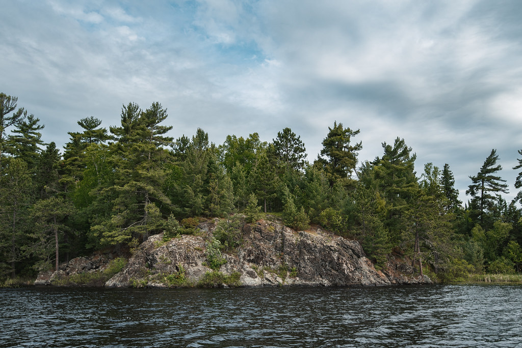
Head o Lakes Public Water Access Site is a boat launch in the Lacroix Ranger District of Superior National Forest in northeastern Minnesota, about 8 miles from the town of Cook. The land is managed by the Minnesota DNR Division of Parks and Trails. Summer is the most comfortable time to get on the water. Typical averages from a nearby weather station in Cook show July highs around 77°F with lows near 56°F, while winter highs stay in the teens and 20s. Paddlers can also look to the Little Fork River, about 7 miles away, and hikers can head to Shively Falls, roughly 10 miles off.
- Managed by
- Minnesota DNR Division of Parks and Trails
Source: Roamze catalog (indexable pages within 10 miles, PostGIS distance)
 Sturgeon RiverCanoeing · ~33 min drivePhoto: McGhiever, CC BY-SA 4.0 (via Wikimedia Commons)
- Pederson Landing (Wakemup Bay) Public Water Access SiteBoat launch · ~8 min drive
- Little Fork RiverCanoeing · ~12 min drive
- Elbow Lake (N) Public Water Access SiteBoat launch · ~11 min drive
- Vermillion River State Water TrailCanoeing · ~23 min drive
- Ban Lake Public Water Access SiteBoat launch · ~12 min drive
- Hunting Shack River RouteCanoeing · ~33 min drive
- Oak Narrows Public Water Access SiteBoat launch · ~16 min drive
- Loon RiverCanoeing · ~43 min drive
- Frazer Bay Public Water Access SiteBoat launch · ~18 min drive
Best time to visit Head o Lakes Public Water Access Site
No month here meets our mild-weather rule. Best months have typical highs of 55–85 °F, lows of 30 °F or warmer (32 °F where the station doesn't record snow), at most one snowy day and no more than 12 wet days.
Jan
15° / -5°
13 wet
Feb
21° / -2°
10 wet
Mar
35° / 11°
10 wet
Apr
48° / 26°
11 wet
May
63° / 40°
15 wet
Jun
72° / 51°
16 wet
Jul
77° / 56°
14 wet
Aug
75° / 54°
14 wet
Sep
65° / 46°
14 wet
Oct
50° / 34°
15 wet
Nov
34° / 20°
13 wet
Dec
21° / 4°
13 wet
Typical high / low (°F) and days with rain or snow, 1991–2020. Measured at Cook 8ne, MN, 7.1 mi away at 1,355 ft. This station doesn't record snowfall. Source: NOAA NCEI U.S. Climate Normals 1991–2020.
Closures we've recorded since August 2026
Forest-wide Fire Restrictions
Superior National Forest · Order dated July 12, 2026; seen Aug 23, 2026 → lifted Aug 25, 2026 · Forest Service
Map and trail data © OpenStreetMap contributors
