Slim-Little Loon
- 1.1 mi
- round trip
- 227 ft
- climb
- 1,288 ft
- high point
- Out and back
- route
- Aug
- best months
Is Slim-Little Loon open right now?
Closure in the area
There's a closure order in Superior National Forest. It doesn't name Slim-Little Loon, so check the source for the area it covers.
Post Wildfire Closures, Effective October 1, 2026
Agency closure covering Superior National Forest · Order 09-09-00-26-11 · USFS · Superior National Forest
Forest Road Improvement Projects
Agency alert covering Superior National Forest · USFS · Superior National Forest
As of · Source: USFS · Superior National Forest. Agencies don't list every closure — check before you go.
Slim-Little Loon is an easy out-and-back hike in Minnesota's Boundary Waters Canoe Area Wilderness, within the Lacroix Ranger District of Superior National Forest. The route is about 1.1 miles long, with a low point of 1,162 feet and a high point of 1,288 feet. It is a short outing, taking about half an hour, and the climb is gentle, with a total elevation gain and loss of about 227 feet. The steepest part of the trail comes at the start, with a grade of about 11% over the first tenth of a mile. The trail surface is natural, and the Forest Service manages the land. Bikes and horses are not allowed. Summer is the most comfortable time to go. A nearby weather station at Orr records typical July highs around 75°F with lows near 51°F. Winters there are cold, with January highs averaging about 15°F. Several other hikes lie within a few miles, including Loon-Heritage, South-Steep and Beartrack-Thumb. Climbers can find Government Bay about 9 miles away.
Local outfitters
- Lodge of Whispering Pines / Echo Trail Outfitters25 mi away
- Snowbank Lodge and Outfitters43 mi away
Not on Roamze yet. Their page has how to reach them.
- Loon-HeritageHiking2.3 mi
- South-SteepHiking2.6 mi
- Beartrack-ThumbHiking3 mi
- Gun-Little BeartrackHiking3.3 mi
- Government BayRock climbing9.1 mi
- M&M Hill - Crane LakeRock climbing9.6 mi
- C SectionRock climbing9.7 mi
- Willie WallRock climbing9.7 mi
Source: Roamze catalog (indexable pages within 10 miles, PostGIS distance)
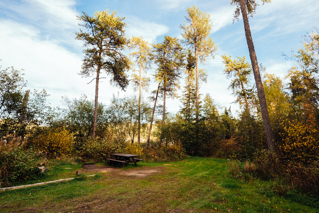
 Shell-PaunessHiking · ~10 min drivePhoto: rtclauss, CC BY-SA 2.0 (via Flickr)
 NorwayHiking · ~18 min drivePhoto: Tony Webster, CC BY-SA 2.0 (via Flickr)
- Baylis Herriman River RunHiking · ~16 min drive
 Little Indian Sioux RiverHiking · ~17 min drivePhoto: Tony Webster, CC BY-SA 2.0 (via Flickr)
- Sioux HustlerHiking · ~17 min drivePhoto: Tony Webster, CC BY-SA 2.0 (via Flickr)
- Baylis Herriman Lake LoopHiking · ~16 min drive
- NIGH CREEK SPUR AHiking · ~19 min drivePhoto: Tony Webster, CC BY-SA 2.0 (via Flickr)
- Baylis Herriman Dovre LoopHiking · ~14 min drive
 BLANDIN WINTER TRAILHiking · ~20 min drivePhoto: Tony Webster, CC BY 2.0 (via Flickr)
- Herriman TrailHiking · ~16 min drive
Best time to visit Slim-Little Loon
Best months: August. Best months have typical highs of 55–85 °F, lows of 30 °F or warmer (32 °F where the station doesn't record snow), at most one snowy day and no more than 12 wet days.
Jan
15° / -8°
13 wet
Feb
21° / -6°
10 wet
Mar
34° / 8°
9 wet
Apr
48° / 23°
11 wet
May
61° / 35°
14 wet
Jun
71° / 46°
15 wet
Jul
75° / 51°
14 wet
Aug
74° / 48°
12 wet
Sep
64° / 41°
13 wet
Oct
50° / 31°
14 wet
Nov
33° / 17°
14 wet
Dec
21° / 2°
13 wet
Typical high / low (°F) and days with rain or snow, 1991–2020. Measured at Orr 3e, MN, 28.2 mi away at 1,315 ft. This station doesn't record snowfall. Source: NOAA NCEI U.S. Climate Normals 1991–2020.
Closures we've recorded since August 2026
Forest-wide Fire Restrictions
Superior National Forest · Order dated July 12, 2026; seen Aug 23, 2026 → lifted Aug 25, 2026 · Forest Service
