N Kaw River
- 1.3 mi
- round trip
- 138 ft
- climb
- 1,480 ft
- high point
- Out and back
- route
N Kaw River is an easy out-and-back hike of about 1.3 miles in the Boundary Waters Canoe Area Wilderness, within the Kawishiwi Ranger District of Superior National Forest in northeastern Minnesota. The Forest Service manages the land, and the trail is short enough to fit into a day spent exploring the wilderness. The route starts at about 1,411 feet and reaches a high point of 1,480 feet, with a front-loaded climb that peaks at about 6% grade within the first fifth of a mile. The total elevation gain is 138 feet, and the trip is estimated to take about half an hour. Summer is the most comfortable time to go. Typical averages from a nearby weather station at Ely show July highs around 77°F with lows near 55°F. Winters are severe, with January highs around 15°F and lows near -7°F. The trail is natural-surface and not accessible. Bikes and horses are not allowed. The Greenstone/n Kaw River hike is about half a mile away, and the Clear Lake-N Kawish River and Clear Lake-Eskwagama Lake hikes are both within 2 miles. Paddlers can find BWCA Entry Points about 3 miles off.
Local outfitters
Not on Roamze yet. Their page has how to reach them.
- Greenstone/n Kaw RiverHiking0.5 mi
- Clear Lake-N Kawish RiverHiking1.7 mi
- Clear Lake-Eskwagama LakeHiking1.9 mi
- S Kawish R-Eskwagama LakeHiking2.4 mi
- TRIANGLE SKI TRAILHiking2.7 mi
- BWCA Entry PointsCanoeing3 mi
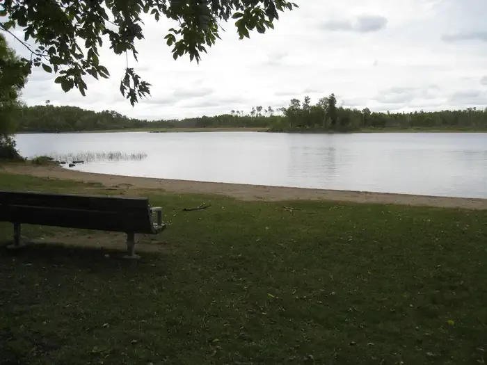 Fall LakeCampingPhoto: Recreation.gov (RIDB) / public domain5.2 mi
- South Kawishiwi RiverCanoeing7.5 mi
Source: Roamze catalog (indexable pages within 10 miles, PostGIS distance)
 Flash-MooseHiking · ~12 min drivePhoto: Tony Webster, CC BY 2.0 (via Flickr)
- Secret Blackstone SecretHiking · ~12 min drivePhoto: Tony Webster, CC BY 2.0 (via Flickr)
- SnowbankHiking · ~13 min drive
- Greenstone/n Kaw RiverHiking · Next door
- SOUTH FARM LAKEHiking · ~8 min drive
- TRIANGLE SKI TRAILHiking · ~5 min drive
- Stub LakeHiking · ~9 min drive
- Sourdough CreekHiking · ~5 min drive
- Wood LakeHiking · ~5 min drive
- SOUTH FARM SKI TRAILHiking · ~5 min drive
