High Falls Trail - East
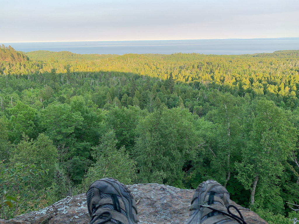
 Photo: Joe Passe, CC BY-SA 2.0 (via Flickr)
- 2.0 mi
- one way
- 214 ft
- climb
- 917 ft
- high point
- Point to point
- route
- May, Jul–Sep
- best months
Clear at last check
Weather is good · OpenWeather · checked 21 h ago
High Falls Trail - East is an easy hike in Tettegouche State Park in Minnesota, managed by State Park and Recreation. The route is a point-to-point trail of about 2 miles, with a total elevation gain of 214 feet and a total loss of 425 feet. It starts at about 907 feet and reaches a high point of 917 feet before descending. The trail is short and gentle, and the climb is not steep overall. The steepest stretch comes early, at about 0.1 mile in, with a grade of 44 percent. The trip takes about an hour. Summer is the most comfortable time to go. Typical July averages from a nearby weather station run to a high of 76°F and a low of 54°F, and the station sits about 480 feet lower than the trail, so temperatures on the trail run cooler. The Superior Hiking Trail spur and the Nipisiquit Lake Trail, both cross-country ski routes, are each about half a mile away. The Cascades Trail and the Tettegouche Trail are within a mile.
Local outfitters
- Sawtooth Outfitters23 mi away
- Snowbank Lodge and Outfitters45 mi away
Not on Roamze yet. Their page has how to reach them.
- Superior Hiking Trail spurCross-country skiing0.5 mi
- Nipisiquit Lake TrailCross-country skiing0.5 mi
 Cascades TrailHikingPhoto: Joe Passe, CC BY-SA 2.0 (via Flickr)0.7 mi
 Tettegouche TrailHikingPhoto: Tony Webster, CC BY 2.0 (via Flickr)0.9 mi
 Mystical Mountain ZoneRock climbingPhoto: SteveBenassi, CC BY 4.0 (via Wikimedia Commons)1.7 mi
- Sawmill Creek DomeRock climbing4.1 mi
- Picnic RockRock climbing4.2 mi
 Beaver RiverCanoeingPhoto: Nsteffel, CC0 (via Wikimedia Commons)9.9 mi
Source: Roamze catalog (indexable pages within 10 miles, PostGIS distance)
- Cascades TrailHiking · ~1 min drivePhoto: Joe Passe, CC BY-SA 2.0 (via Flickr)
 CROSS RIVER/ WRINGER LAKE AHiking · ~35 min drivePhoto: Superior National Forest, CC BY 2.0 (via Wikimedia Commons)
- HARE LAKE SNOWMO CONNECTORHiking · ~33 min drive
- Tettegouche TrailHiking · ~2 min drivePhoto: Tony Webster, CC BY 2.0 (via Flickr)
- Hogback Lupus LoopHiking · ~35 min drive
- Crosscut BikeHiking · ~41 min drive
 Little Two Harbors TrailHiking · ~23 min drivePhoto: PunkToad, CC BY 2.0 (via Flickr)
- CROSS RIVER/ WRINGER LAKE BHiking · ~37 min drive
- Flume BikeHiking · ~41 min drive
- Day Hill TrailHiking · ~23 min drivePhoto: PunkToad, CC BY 2.0 (via Flickr)
Best time to visit High Falls Trail - East
Best months: May and July–September. Best months have typical highs of 55–85 °F, lows of 30 °F or warmer (32 °F where the station doesn't record snow), at most one snowy day and no more than 12 wet days.
Jan
19° / 1°
10 wet
Feb
24° / 3°
8 wet
Mar
35° / 15°
9 wet
Apr
46° / 28°
9 wet
May
59° / 40°
12 wet
Jun
70° / 49°
13 wet
Jul
76° / 54°
12 wet
Aug
74° / 53°
12 wet
Sep
65° / 46°
12 wet
Oct
51° / 34°
11 wet
Nov
36° / 21°
10 wet
Dec
24° / 9°
10 wet
Typical high / low (°F) and days with rain or snow, 1991–2020. Measured at Wolf Ridge Elc, MN, 7 mi away at 1,400 ft. This station doesn't record snowfall. Source: NOAA NCEI U.S. Climate Normals 1991–2020.

Map and trail data © OpenStreetMap contributors
