French Falls Trail
- 0.8 mi
- loop
- 192 ft
- climb
- Loop
- route
- Easy
- difficulty
- May, Jul–Sep
- best months
French Falls Trail is a short, easy hike in northern Minnesota, about 0.8 miles long with a total elevation gain of 192 feet. The trail rises from a low point of 1,388 feet to a high of 1,495 feet, and the steepest stretch comes at about 0.65 miles in, with a grade of 7 percent. The nearest town is Prairie Portage, about 45 miles away. Summer is the most comfortable time to go. Typical averages from a nearby weather station at Gunflint Lake show July highs around 76°F with lows near 54°F, while winter brings January highs of about 15°F and regular snow days. The trip takes about half an hour, so it works well as a quick outing. Several other trails lie within a few miles, including Fisher Trail at 2.1 miles, Teaching Trail at 2.4 miles, and Baptism Creek Trail and Whiskey Jack Nature Trail at about 2.5 miles.
- Fisher TrailHiking2.1 mi
- Teaching TrailHiking2.4 mi
- Baptism Creek TrailHiking2.5 mi
- Whiskey Jack Nature TrailHiking2.5 mi
Source: Roamze catalog (indexable pages within 10 miles, PostGIS distance)
 SAG CORRIDOR WATER TRAILHiking · ~1h 1m drivePhoto: Tony Webster, CC BY 2.0 (via Flickr)
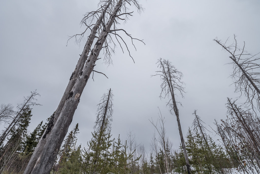 Magnetic RockHiking · ~1h 12m drivePhoto: Tony Webster, CC BY 2.0 (via Flickr)
- Border Route TrailHiking · ~1h 12m drivePhoto: Tony Webster, CC BY 2.0 (via Flickr)
- Gull Lake-Gulf LakeHiking · ~1h 1m drivePhoto: Tony Webster, CC BY 2.0 (via Flickr)
 Seagull NatureHiking · ~1h 3m drivePhoto: Tony Webster, CC BY 2.0 (via Flickr)
- Centennial TrailHiking · ~1h 12m drivePhoto: Tony Webster, CC BY 2.0 (via Flickr)
 Gunflint LookoutHiking · ~1h 12m drivePhoto: Tony Webster, CC BY-SA 2.0 (via Flickr)
 Upper Gunflint RiverHiking · ~1h 13m drivePhoto: Tony Webster, CC BY 2.0 (via Flickr)
- Upper Gunflint Aspen AlleyHiking · ~1h 13m drivePhoto: Tony Webster, CC BY 2.0 (via Flickr)
 Upper Gunflint HighlandsHiking · ~1h 13m drivePhoto: Tony Webster, CC BY-SA 2.0 (via Flickr)
Best time to visit French Falls Trail
Best months: May and July–September. Best months have typical highs of 55–85 °F, lows of 30 °F or warmer (32 °F where the station doesn't record snow), at most one snowy day and no more than 12 wet days.
Jan
15° / -6°
8 wet · 8 snow
Feb
20° / -5°
6 wet · 6 snow
Mar
33° / 8°
7 wet · 5 snow
Apr
47° / 24°
8 wet · 3 snow
May
61° / 38°
11 wet · 1 snow
Jun
71° / 49°
13 wet
Jul
76° / 54°
11 wet
Aug
74° / 52°
11 wet
Sep
64° / 45°
11 wet
Oct
49° / 33°
12 wet · 2 snow
Nov
34° / 21°
10 wet · 5 snow
Dec
21° / 4°
9 wet · 8 snow
Typical high / low (°F) and days with rain or snow, 1991–2020. Measured at Gunflint Lake 10 Nw, MN, 36.4 mi away at 1,455 ft. Source: NOAA NCEI U.S. Climate Normals 1991–2020.
Map and trail data © OpenStreetMap contributors
