Cutfoot Horse Trail I
- 4.8 mi
- round trip
- 796 ft
- climb
- 1,417 ft
- high point
- Out and back
- route
- May–Sep
- best months
Is CUTFOOT HORSE TRAIL I open right now?
No closures listed
The Forest Service lists no closures for Chippewa National Forest.
As of · Source: USFS · Chippewa National Forest. Agencies don't list every closure — check before you go.
Cutfoot Horse Trail I is a moderate out-and-back hike in northern Minnesota, set within the Deer River Ranger District of Chippewa National Forest and Bowstring State Forest. The State Department of Natural Resources manages the land, and the trail's route is about 9.7 miles long, with a total elevation gain of 796 feet. The climb is steady, and the steepest stretch comes at about 2 miles in, where the grade reaches 8 percent. The trail starts at an elevation of 1,373 feet and reaches a high point of 1,417 feet before returning to the starting level. Summer is the most comfortable time to go. Typical averages from a nearby weather station at Northome run to highs around 77°F in July and 76°F in August, with lows in the mid-50s. The hike takes about 3.5 hours. Cutfoot Horse Trail E and Cutfoot Horse Trail J both lie within about a mile and a quarter, and Cut Foot Horse Campground is about 2.6 miles away. East Seelye Bay Boat Area, about 4 miles off, offers lake fishing.
- CUTFOOT HORSE TRAIL EHiking1 mi
- CUTFOOT HORSE TRAIL JHiking1.2 mi
- Cutfoot Horse Trail BaHiking1.4 mi
- Cut Foot Horse CampgroundCamping2.6 mi
- East Seelye Bay Boat AreaLake fishing4 mi
- East Seelye BayCamping4.1 mi
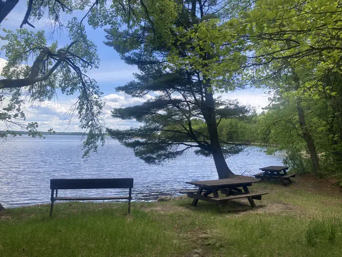 Deer LakeSurf fishing4.8 mi
- Mosomo PointPier fishing5.3 mi
Source: Roamze catalog (indexable pages within 10 miles, PostGIS distance)
- CUTFOOT HORSE TRAIL EHiking · ~2 min drive
- CUTFOOT HORSE TRAILHiking · ~4 min drive
- Rock Lake National Rec Rock Lk - MinnesotaHiking · ~9 min drive
- CUTFOOT HORSE TRAIL JHiking · ~2 min drive
- Winnie North Hiking BHiking · ~7 min drive
- Cutfoot Horse Trail DaHiking · ~2 min drive
- Winnie North Hiking AHiking · ~10 min drive
- Cutfoot Horse Trail BaHiking · ~2 min drive
- Winnie North HikingHiking · ~11 min drive
- CUTFOOT HORSE TRAIL DHiking · ~3 min drive
Best time to visit CUTFOOT HORSE TRAIL I
Best months: May–September. Best months have typical highs of 55–85 °F, lows of 30 °F or warmer (32 °F where the station doesn't record snow), at most one snowy day and no more than 12 wet days.
Jan
17° / -5°
Feb
23° / -2°
Mar
35° / 10°
Apr
49° / 26°
May
63° / 39°
Jun
72° / 51°
Jul
77° / 55°
Aug
76° / 52°
Sep
67° / 45°
Oct
52° / 34°
Nov
35° / 19°
Dec
22° / 4°
Typical high / low (°F) and days with rain or snow, 1991–2020. Measured at Northome 3s, MN, 18.8 mi away at 1,415 ft. This station doesn't record snowfall. Source: NOAA NCEI U.S. Climate Normals 1991–2020.
