Shoepack Lake
- May, Jul–Sep
- best months
Is Shoepack Lake open right now?
Closure in the area
There's a closure order in Superior National Forest. It doesn't name Shoepack Lake, so check the source for the area it covers.
Post Wildfire Closures, Effective October 1, 2026
Agency closure covering Superior National Forest · Order 09-09-00-26-11 · USFS · Superior National Forest
Forest Road Improvement Projects
Agency alert covering Superior National Forest · USFS · Superior National Forest
As of · Source: USFS · Superior National Forest. Agencies don't list every closure — check before you go.
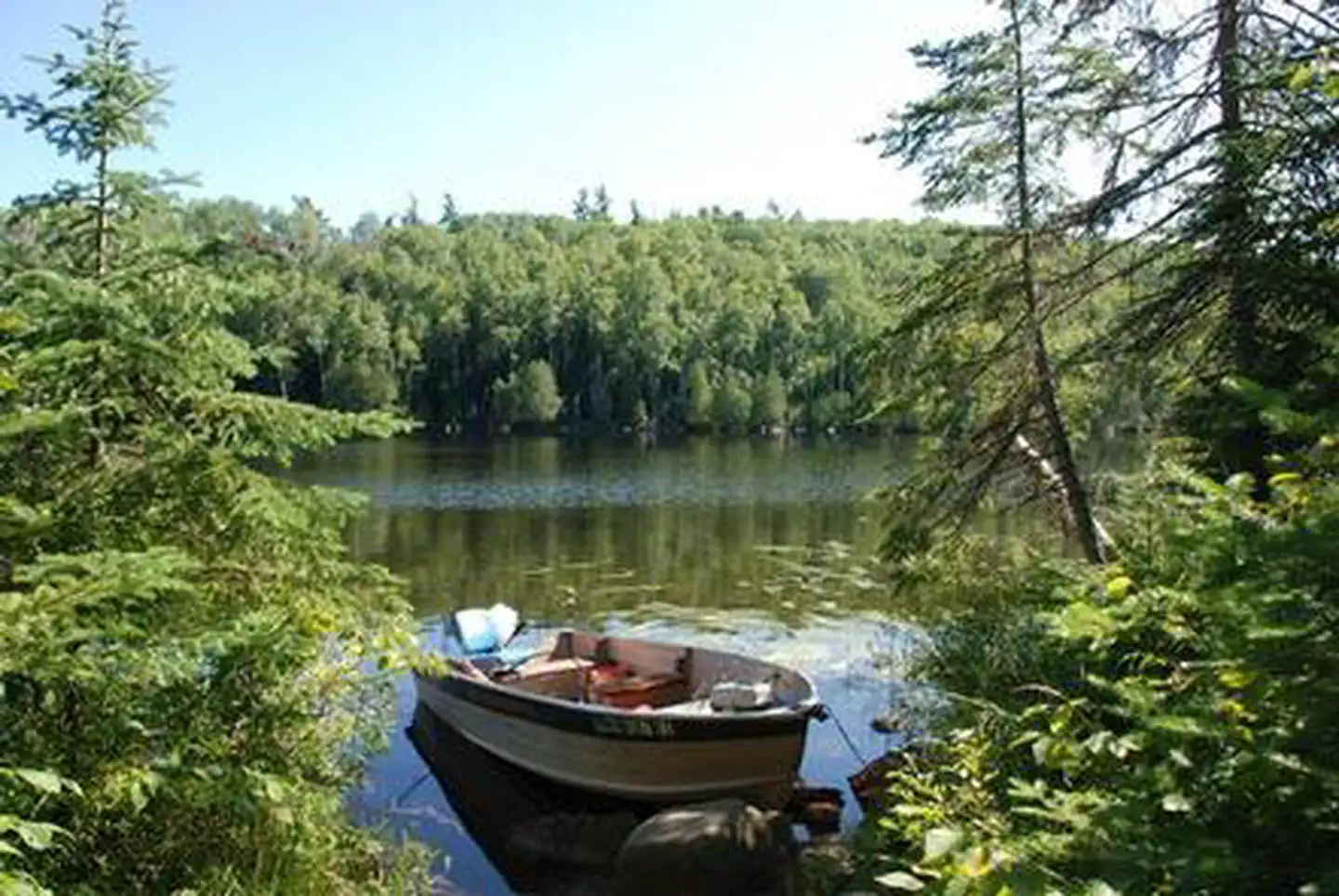
Shoepack Lake is a fishing lake in Minnesota's Superior National Forest, within the Tofte Ranger District, about 11 miles from the town of Tofte. The Forest Service manages the land, and the lake is not reservable, so plan on arriving and fishing without a booking. Summer is the most comfortable time to visit. Typical July averages at the Wolf Ridge weather station, about 11 miles away, run to a high of 76°F and a low of 54°F, with August only slightly cooler at 74°F. Winter is far colder, with January highs around 19°F. The T Bird-Shoepack Lake hike starts just 0.3 miles away, and Thunderbird Lake is about 1.3 miles off. For camping, Ninemile Lake Campground is roughly 2.6 miles away, and Hogback Lake Rustic Campground sits about 3.1 miles away.
Local outfitters
- Sawbill Canoe Outfitters21 mi away
- Snowbank Lodge and Outfitters30 mi away
Not on Roamze yet. Their page has how to reach them.
Best time to go · May, Jul–Sep
Best time to visit Shoepack Lake
Best months: May and July–September. Best months have typical highs of 55–85 °F, lows of 30 °F or warmer (32 °F where the station doesn't record snow), at most one snowy day and no more than 12 wet days.
Jan
19° / 1°
10 wet
Feb
24° / 3°
8 wet
Mar
35° / 15°
9 wet
Apr
46° / 28°
9 wet
May
59° / 40°
12 wet
Jun
70° / 49°
13 wet
Jul
76° / 54°
12 wet
Aug
74° / 53°
12 wet
Sep
65° / 46°
12 wet
Oct
51° / 34°
11 wet
Nov
36° / 21°
10 wet
Dec
24° / 9°
10 wet
Typical high / low (°F) and days with rain or snow, 1991–2020. Measured at Wolf Ridge Elc, MN, 11.4 mi away at 1,400 ft. This station doesn't record snowfall. Source: NOAA NCEI U.S. Climate Normals 1991–2020.
Closures we've recorded since August 2026
Forest-wide Fire Restrictions
Superior National Forest · Order dated July 12, 2026; seen Aug 23, 2026 → lifted Aug 25, 2026 · Forest Service

Keep exploring — more waters worth the drive
SEE
Crescent Lake
~39 min drive
SEE
Thunderbird Lake
~2 min drive
SEE
Cascade River
~49 min drive
Cascade River is a river in Minnesota.
SEE
Hogback Lake Fishing Pier
~5 min drive
SEE
Section Eight Lake
~9 min drive
Section Eight Lake is a 6-acre lake near Crystal Bay Township, Minnesota, at about 1,921 feet. It is managed by the U.S. Forest Service.
SEE
Dumbbell Lake Fishing Pier
~12 min drive
SEE
Trappers Lake
~17 min drive
Trappers Lake is a 19-acre lake near Stony River Township, Minnesota, at about 1,844 feet. It is managed by the U.S. Forest Service.
SEE
White Pine Lake Fishing Pier
~34 min drive
SEE
Slade Lake
~18 min drive
Slade Lake is a 5-acre lake near Silver Bay, Minnesota, at about 1,482 feet.
SEE
Sawbill Lake Fishing Pier
~36 min drive
Also worth it near here
SEE
Ninemile Lake Boat Access
~4 min drive
 Photo: Tony Webster from Minneapolis, Minnesota, United States, CC BY 2.0 (via Wikimedia Commons)
Manitou River
~10 min drive
 Photo: Superior National Forest, CC BY 2.0 (via Wikimedia Commons)
CROSS RIVER/ WRINGER LAKE A
~11 min drive
RIDE
Cross/ Wringer Bike Loop
~12 min drive
