Vermilion Ridge Campground.
- 33
- sites
- Yes
- fee
- May, Jul–Sep
- best months
- 33 sites
- At 1,437 ft
- Lake Vermilion-Soudan Underground Mine State Park
Vermilion Ridge Campground. is a campground in Minnesota at about 1,437 feet, with 33 sites. It is managed by the state park agency.
Local outfitters
- Piragis Northwoods Company16 mi away
- Lodge of Whispering Pines / Echo Trail Outfitters17 mi away
Not on Roamze yet. Their page has how to reach them.
- Cable Bay Public Water Access SiteBoat launch0.4 mi
 Lake Vermilion-Soudan Underground Mine State ParkState parkPhoto: ShakataGaNai, CC BY 3.0 (via Wikimedia Commons)1 mi
- Stuntz Bay Public Water Access SiteBoat launch2.3 mi
- MUD CREEKHiking3.5 mi
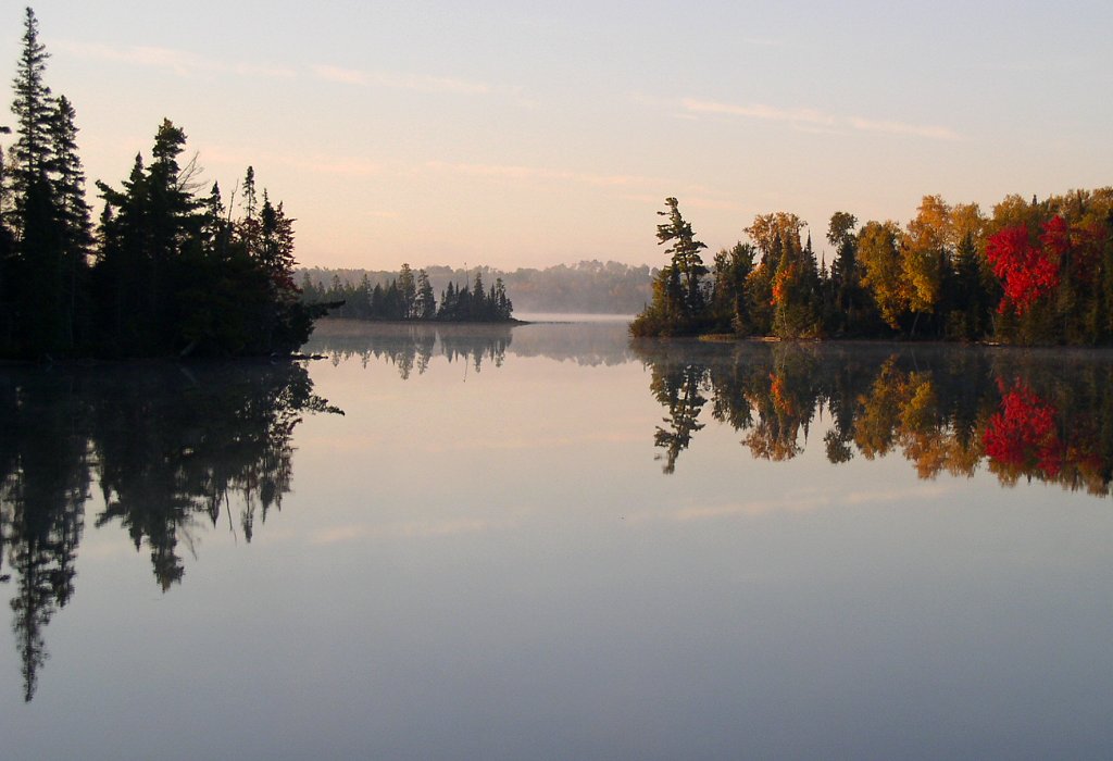 Bear Head Lake State ParkState parkPhoto: McGhiever, CC BY-SA 3.0 (via Wikimedia Commons)7 mi
- Trout-PineHiking7.5 mi
- Pike River FallsWaterfall8.8 mi
- The Road Side BoulderRock climbing8.9 mi
Source: Roamze catalog (indexable pages within 10 miles, PostGIS distance)
- Maang group campCamping · Next door
- Ojig group campCamping · Next door
- Backpack camp siteCamping · ~2 min drive
- Lake Vermilion Site 15Camping · ~6 min drive
- McKinley Park CampgroundCamping · ~7 min drive
- Bear Head Lake State Park CampgroundCamping · ~11 min drive
- Lake Vermilion Site 1Camping · ~11 min drive
- Lake Vermilion Site 18Camping · ~14 min drive
- Lake Vermilion Site 4Camping · ~15 min drive
- Lake Vermilion Site 5Camping · ~17 min drive
Best time to visit Vermilion Ridge Campground.
Best months: May and July–September. Best months have typical highs of 55–85 °F, lows of 30 °F or warmer (32 °F where the station doesn't record snow), at most one snowy day and no more than 12 wet days.
Jan
17° / -7°
7 wet
Feb
23° / -5°
6 wet
Mar
36° / 9°
7 wet
Apr
50° / 24°
8 wet
May
63° / 36°
12 wet
Jun
73° / 47°
13 wet
Jul
77° / 51°
12 wet
Aug
76° / 48°
11 wet
Sep
67° / 42°
11 wet
Oct
51° / 31°
11 wet
Nov
35° / 18°
9 wet
Dec
22° / 3°
8 wet
Typical high / low (°F) and days with rain or snow, 1991–2020. Measured at Tower 2s, MN, 5.8 mi away at 1,430 ft. This station doesn't record snowfall. Source: NOAA NCEI U.S. Climate Normals 1991–2020.
Map and trail data © OpenStreetMap contributors
