Rothenburg Campground
- Yes
- fee
- Apr–Oct
- best months
- At 1,014 ft
$12-$35
- Nearby · Kilen Woods State Park Campground · Sailors and Soldiers Memorial Campground · Sleepy Eye Campground
Best time to go · Apr–Oct
Best time to visit Rothenburg Campground
Best months: April–October. Best months have typical highs of 55–85 °F, lows of 30 °F or warmer (32 °F where the station doesn't record snow), at most one snowy day and no more than 12 wet days.
Jan
23° / 4°
5 wet
Feb
27° / 8°
5 wet
Mar
39° / 21°
6 wet
Apr
56° / 33°
9 wet
May
69° / 46°
12 wet
Jun
79° / 57°
11 wet
Jul
82° / 60°
9 wet
Aug
80° / 57°
8 wet
Sep
74° / 48°
8 wet
Oct
60° / 36°
7 wet
Nov
42° / 23°
5 wet
Dec
28° / 11°
5 wet
Typical high / low (°F) and days with rain or snow, 1991–2020. Measured at Springfield 1 Nw, MN, 0.9 mi away at 1,066 ft. This station doesn't record snowfall. Source: NOAA NCEI U.S. Climate Normals 1991–2020.
Keep exploring — more campsites worth the drive
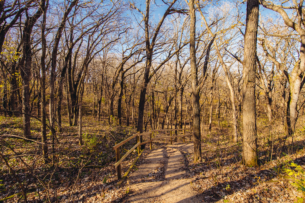 Photo: Tony Webster — CC BY-SA 2.0 (via Flickr)
Kilen Woods State Park Campground
~1h 1m drive
BED
Sailors and Soldiers Memorial Campground
~14 min drive
BED
Sleepy Eye Campground
~23 min drive
Sleepy Eye Campground is a campground in Minnesota at about 1,014 feet.
BED
Kuhar Park
~25 min drive
Kuhar Park is a campground in Minnesota at about 1,064 feet.
BED
Kettner's Landing - DNR
~30 min drive
Kettner's Landing - DNR is a campground in Minnesota at about 810 feet.
BED
Mack Lake County Park
~31 min drive
Mack Lake County Park is a campground in Minnesota.
BED
Rustic Campground
~33 min drive
Rustic Campground is a campground in Minnesota at about 846 feet. It is managed by the state park agency.
BED
Creekside Campground
~33 min drive
Creekside Campground is a campground in Minnesota at about 838 feet. It is managed by the state park agency.
BED
Main Camp and Creek Picnic Area
~33 min drive
Main Camp and Creek Picnic Area is a campground in Minnesota at about 831 feet. It is managed by the state park agency.
BED
Walk-in Campsites
~33 min drive
Walk-in Campsites is a campground in Minnesota at about 929 feet. It is managed by the state park agency.


Map and trail data © OpenStreetMap contributors
