Pete's Path / Lost Lake Loop West
- 0.4 mi
- round trip
- 11 ft
- climb
- 625 ft
- high point
- Out and back
- route
- Apr–Oct
- best months
Pete's Path / Lost Lake Loop West is a short, flat cross-country ski route in Michigan, about 4 miles from North Muskegon. It is an out-and-back of roughly 0.7 miles, with a high point of 625 feet and a total climb of about 11 feet, so it is essentially level ground. Winter is the natural season for this trail. Typical averages from a nearby weather station show January highs around 33°F with lows near 21°F, while July highs reach about 82°F. The station sits at the same elevation as the trail, so those figures apply to the route itself. Several other ski routes lie close by. Spencer's Advanced Loop is about 0.1 mile away, and Lost Lake Loop West and Verna's Classic Trail are each within half a mile. For a hike, the Hearty Hiker Trail is about a mile off.
- Spencer's Advanced LoopCross-country skiing0.1 mi
- Lost Lake Loop WestCross-country skiing0.3 mi
- Verna's Classic TrailCross-country skiing0.4 mi
- Hearty Hiker TrailHiking1 mi
- Lost Lake Loop EastHiking1 mi
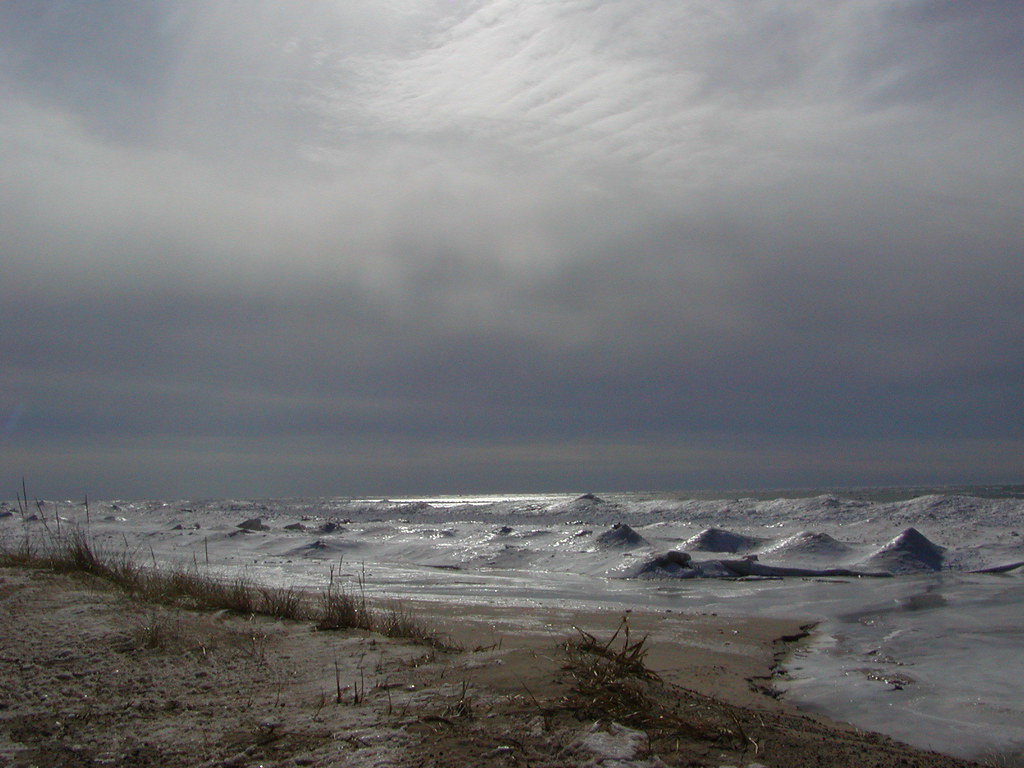 Duck Lake State Park - Foot TrailHikingPhoto: Qfamily, CC BY 2.0 (via Flickr)6.3 mi
Source: Roamze catalog (indexable pages within 10 miles, PostGIS distance)
- Crystal Valley Ski Trail Loop3Cross-country skiing · ~1h 4m drive
- Mulligan's HollowDownhill skiing · ~26 min drive
- Pete's Path / Lost Lake Loop WestCross-country skiing · Next door
- Spencer's Advanced LoopCross-country skiing · Next door
- Ski Trail -GreenCross-country skiing · ~22 min drive
- Crystal Valley Ski Trail Loop4Cross-country skiing · ~1h 5m drive
- Cannonsburg Ski AreaDownhill skiing · ~1h 17m drive
- Lost Lake Loop WestCross-country skiing · Next door
- Ski Trail - OrangeCross-country skiing · ~22 min drive
- Ski Trail - Heart LoopCross-country skiing · ~23 min drive
Best time to visit Pete's Path / Lost Lake Loop West
Best months: April–October. Best months have typical highs of 55–85 °F, lows of 30 °F or warmer (32 °F where the station doesn't record snow), at most one snowy day and no more than 12 wet days.
Jan
33° / 21°
16 wet
Feb
35° / 21°
13 wet
Mar
44° / 27°
12 wet
Apr
57° / 37°
12 wet
May
68° / 48°
12 wet
Jun
78° / 57°
10 wet
Jul
82° / 62°
9 wet
Aug
80° / 61°
9 wet
Sep
73° / 53°
10 wet
Oct
61° / 43°
12 wet
Nov
48° / 34°
13 wet
Dec
37° / 26°
15 wet
Typical high / low (°F) and days with rain or snow, 1991–2020. Measured at Muskegon Co Ap, MI, 8.2 mi away at 625 ft. This station doesn't record snowfall. Source: NOAA NCEI U.S. Climate Normals 1991–2020.
Map and trail data © OpenStreetMap contributors
