White Lake Drive Boat Launch
- Apr–Oct
- best months
White Lake Drive Boat Launch is a boat launch in Michigan, about 1.4 miles from the town of Whitehall. Summer is the most comfortable time to get on the water. Typical July highs reach about 79°F with lows near 58°F, based on averages from a nearby weather station. June and August run close behind, with highs in the mid to upper 70s. Several trails lie within a short drive. The Fred Meijer Berry Junction Trail is about 2.2 miles away, and the Duck Lake State Park Foot Trail is about 3.5 miles out. The Rim Trail sits about 3.7 miles away. Paddlers can also reach the Lake Michigan Water Trail West, about 7.8 miles from the launch.
- Fred Meijer Berry Junction TrailHiking2.2 mi
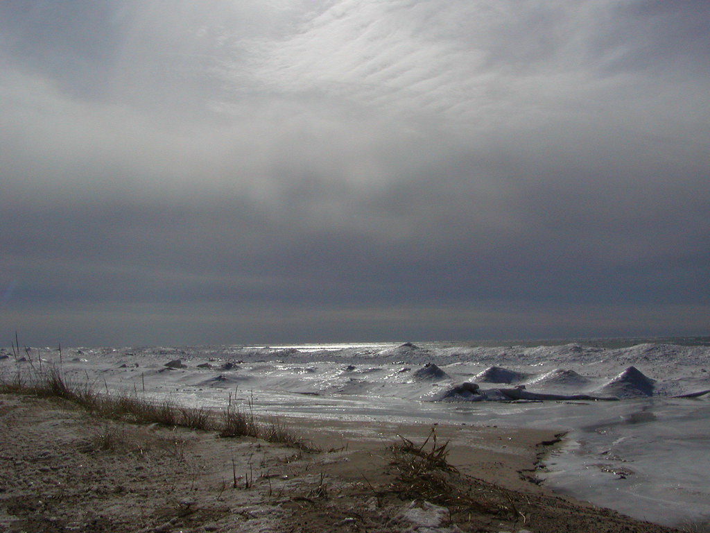 Duck Lake State Park - Foot TrailHikingPhoto: Qfamily, CC BY 2.0 (via Flickr)3.5 mi
- Rim TrailHiking3.7 mi
- West Boundary TrailHiking3.7 mi
- Spring TrailHiking4.1 mi
- White TrailHiking6.5 mi
- Blue TrailHiking7.3 mi
- Lake Michigan Water Trail WestCanoeing7.8 mi
Source: Roamze catalog (indexable pages within 10 miles, PostGIS distance)
- Scenic Road Boat LaunchBoat launch · ~5 min drive
- Stony CreekCanoeing · ~24 min drive
- Lau Road Boat LaunchBoat launch · ~6 min drive
- Brooks CreekCanoeing · ~31 min drive
- Dock Road Boat LaunchBoat launch · ~6 min drive
- South Branch Pentwater RiverCanoeing · ~40 min drive
- Duck Lake State Park Boat LaunchBoat launch · ~7 min drive
- Pentwater RiverCanoeing · ~42 min drive
- Goose Egg Lake Boat LaunchBoat launch · ~12 min drive
- Crockery CreekCanoeing · ~44 min drive
Best time to visit White Lake Drive Boat Launch
Best months: April–October. Best months have typical highs of 55–85 °F, lows of 30 °F or warmer (32 °F where the station doesn't record snow), at most one snowy day and no more than 12 wet days.
Jan
30° / 19°
9 wet
Feb
32° / 19°
7 wet
Mar
42° / 25°
8 wet
Apr
55° / 34°
10 wet
May
67° / 44°
11 wet
Jun
75° / 53°
9 wet
Jul
79° / 58°
8 wet
Aug
78° / 57°
8 wet
Sep
72° / 51°
9 wet
Oct
58° / 41°
11 wet
Nov
45° / 32°
10 wet
Dec
35° / 24°
9 wet
Typical high / low (°F) and days with rain or snow, 1991–2020. Measured at Montague 4 Nw, MI, 6 mi away at 650 ft. This station doesn't record snowfall. Source: NOAA NCEI U.S. Climate Normals 1991–2020.
Map and trail data © OpenStreetMap contributors
