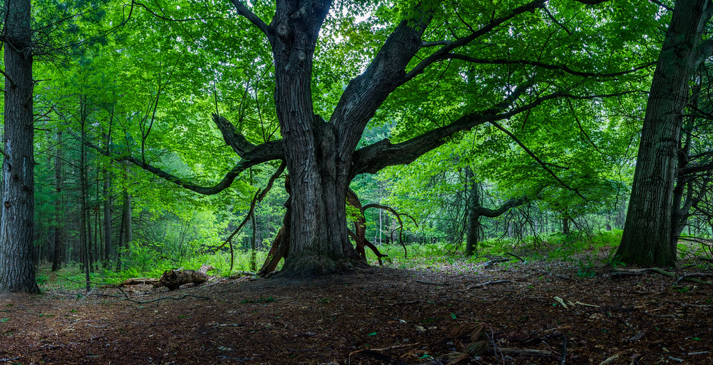
South Fork Bad River
- 12.2 mi
- distance
- 653 ft
- high point
- Apr, Jun–Sep
- best months
Clear today
Weather is good · OpenWeather · checked 11 h ago
South Fork Bad River is a 12-mile paddling stretch near Chesaning, Michigan. It flows year-round. USGS models an average flow of about 53 cfs and a gradient of about 3.6 feet per mile.
Local outfitters
- Dimondale Canoe & Kayak42 mi away
- Rent.Fun42 mi away
Not on Roamze yet. Their page has how to reach them.
 Maple RiverCanoeing · ~24 min drivePhoto: Gpwitteveen, CC BY-SA 3.0 (via Wikimedia Commons)
- DNR Field Office Boat LaunchBoat launch · ~16 min drive
 Stony CreekCanoeing · ~44 min drivePhoto: Gpwitteveen, CC BY-SA 3.0 (via Wikimedia Commons)
- Maple Road Boating Access SiteBoat launch · ~33 min drive
 Red Cedar RiverCanoeing · ~1h 6m drivePhoto: Tim Kiser (TimK MSI), CC0 (via Wikimedia Commons)
- Wickes Park River AccessBoat launch · ~35 min drive
 Thread CreekCanoeing · ~1h 7m drivePhoto: TimK MSI, CC BY-SA 4.0 (via Wikimedia Commons)
- Bob G. Caldwell Municipal Boat LaunchBoat launch · ~43 min drive
- Bear CreekCanoeing · ~22 min drive
- Muskrat Lake Boat LaunchBoat launch · ~44 min drive
Best time to visit South Fork Bad River
Best months: April and June–September. Best months have typical highs of 55–85 °F, lows of 30 °F or warmer (32 °F where the station doesn't record snow), at most one snowy day and no more than 12 wet days.
Jan
30° / 16°
13 wet
Feb
33° / 16°
10 wet
Mar
43° / 24°
10 wet
Apr
57° / 35°
12 wet
May
69° / 46°
14 wet
Jun
78° / 56°
12 wet
Jul
82° / 60°
10 wet
Aug
80° / 59°
11 wet
Sep
74° / 51°
11 wet
Oct
61° / 40°
13 wet
Nov
47° / 31°
12 wet
Dec
36° / 22°
13 wet
Typical high / low (°F) and days with rain or snow, 1991–2020. Measured at Owosso Wwtp, MI, 14.7 mi away at 730 ft. This station doesn't record snowfall. Source: NOAA NCEI U.S. Climate Normals 1991–2020.