Sherman Lake Boat Launch
About
Sherman Lake Boat Launch is a boat launch on Sherman Lake in Michigan, about 2.3 miles from the town of Augusta. It gives boaters a put-in on the lake close to town. Summer is the most comfortable time to get on the water. Typical averages from a nearby weather station show July highs around 85°F with lows near 62°F, while June and August run only slightly cooler. Lake Loop, a hike about 3 miles away, is the closest nearby option. Paddlers can also reach the Kalamazoo River Water Trail, roughly 9 miles off, and KNC Camp offers camping about 10 miles from the launch.
Location
Augusta
Michigan
Data © OpenStreetMap contributors, available under the Open Database License (ODbL). View or edit on OpenStreetMap.
Facts about this place
When to go
Best time to go: Apr–Oct. The mildest months here, with typical highs of 61–85°F and lows of 38–62°F.
Typical monthly averages (not a forecast) from the Gull Lake Biological Stn, MI weather station, 3 mi away. High / low in °F.
- Jan32° high19° low
- Feb36° high20° low
- Mar48° high28° low
- Apr61° high38° low
- May72° high49° low
- Jun81° high58° low
- Jul85° high62° low
- Aug82° high61° low
- Sep76° high53° low
- Oct63° high43° low
- Nov48° high34° low
- Dec37° high25° low
Nearby
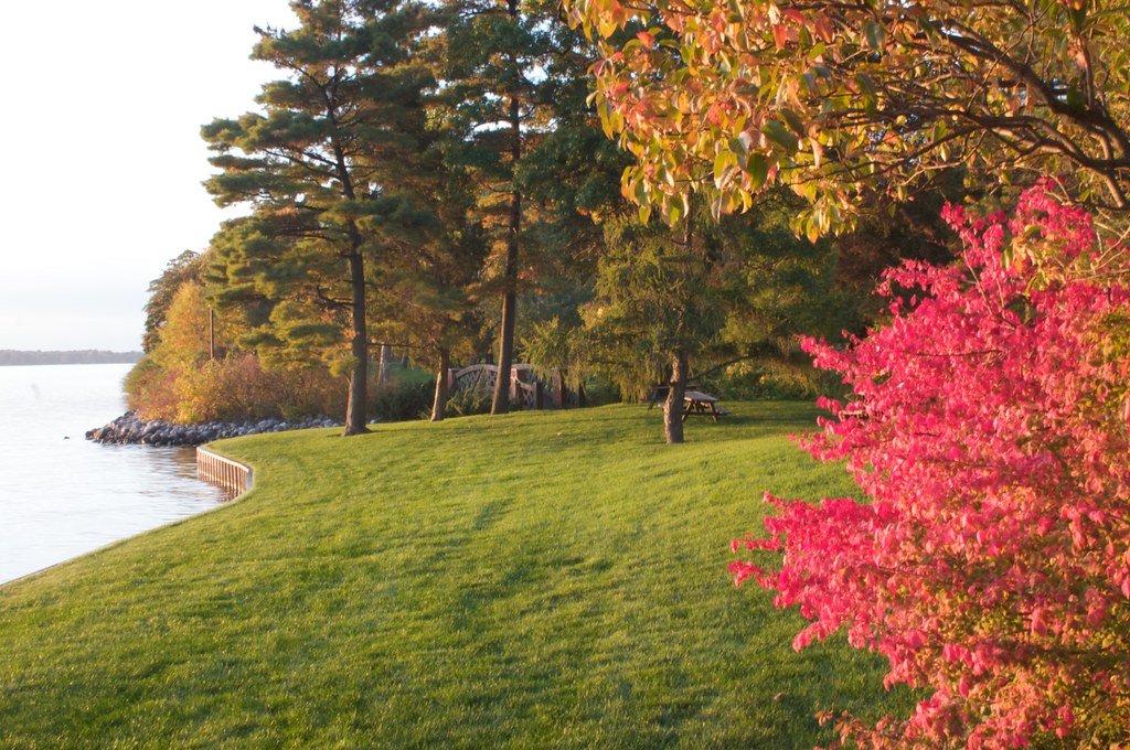 Lake LoopHikingPhoto: H. Michael Miley, CC BY-SA 2.0 (via Flickr)3.1 mi
- Kalamazoo River Water TrailCanoeing8.7 mi
- KNC CampCamping9.7 mi
Source: Roamze catalog (indexable pages within 10 miles, PostGIS distance)
Best time to visit Sherman Lake Boat Launch
Best months: April–October. Best months have typical highs of 55–85 °F, lows of 30 °F or warmer (32 °F where the station doesn't record snow), at most one snowy day and no more than 12 wet days.
Jan
32° / 19°
Feb
36° / 20°
Mar
48° / 28°
Apr
61° / 38°
May
72° / 49°
Jun
81° / 58°
Jul
85° / 62°
Aug
82° / 61°
Sep
76° / 53°
Oct
63° / 43°
Nov
48° / 34°
Dec
37° / 25°
Typical high / low (°F) and days with rain or snow, 1991–2020. Measured at Gull Lake Biological Stn, MI, 3 mi away at 925 ft. This station doesn't record snowfall. Source: NOAA NCEI U.S. Climate Normals 1991–2020.
Map and trail data © OpenStreetMap contributors
