White Trail
- 0.4 mi
- one way
- 49 ft
- climb
- 684 ft
- high point
- Point to point
- route
- Apr–Oct
- best months
Is White Trail open right now?
Alert in the area
The Forest Service lists 4 alerts for Huron-Manistee National Forest.
USE CAUTION - KNOW BEFORE YOU GO!
Agency alert covering Huron-Manistee National Forest · USFS · Huron-Manistee National Forest
Winter Storm Impacts Huron Zone of the Forests - Know Before You Go.
Agency alert covering Huron-Manistee National Forest · USFS · Huron-Manistee National Forest
'Do Not Eat' Advisory for Deer
Agency alert covering Huron-Manistee National Forest · USFS · Huron-Manistee National Forest
'Do Not Eat' Advisory for Fish
Agency alert covering Huron-Manistee National Forest · USFS · Huron-Manistee National Forest
As of · Source: USFS · Huron-Manistee National Forest. Agencies don't list every closure — check before you go.
White Trail is a short, easy hike in the White Cloud Ranger District of Huron-Manistee National Forest in Michigan. It covers about 0.4 miles with a total elevation gain of 49 feet, so it works well as a quick stop or a warm-up before exploring the surrounding trails. The route is a point-to-point path, and the climb is gentle. The steepest stretch comes early, at about 0.08 miles in, with a grade of about 5 percent. The trail also allows bikes, so you can ride it if you prefer. Summer is the most comfortable time to go. Typical averages from a nearby weather station show July highs around 79°F with lows near 58°F, while winter highs stay in the 30s. The Blue Trail starts just 0.1 mile away, and the Ski Trail - Orange is about 0.2 mile off. The Red Trail and Orange Trail are within a mile. For an overnight stay, Pines Point Campground is about 9 miles away.
- Blue TrailHiking0.1 mi
- Ski Trail - OrangeCross-country skiing0.2 mi
- Red TrailHiking0.4 mi
- Orange TrailHiking0.6 mi
- Ski Trail - Heart LoopCross-country skiing0.7 mi
- Pines Point Campground (MI)Camping9.1 mi
- Pines Point CampgroundCamping9.3 mi
- Lake Michigan Water Trail WestCanoeing9.6 mi
Source: Roamze catalog (indexable pages within 10 miles, PostGIS distance)
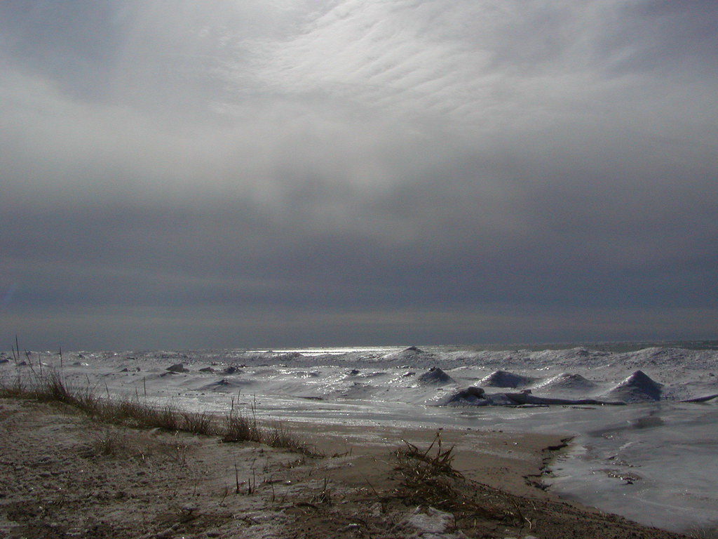 Duck Lake State Park - Foot TrailHiking · ~17 min drivePhoto: Qfamily, CC BY 2.0 (via Flickr)
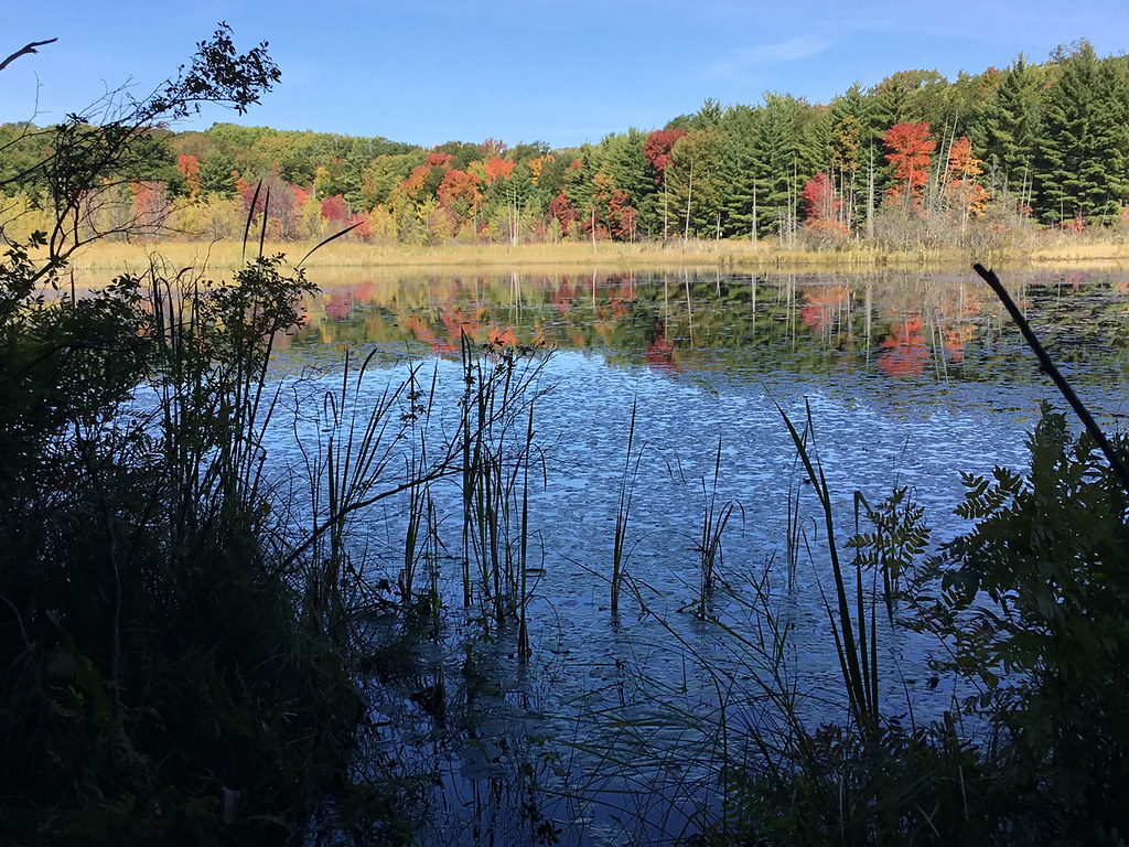 Loda Lake Wildflower TrailHiking · ~43 min drivePhoto: usfs_Eastern_Region, Public Domain Mark (via Flickr)
- Blue TrailHiking · Next door
- Triathalon RouteHiking · ~2 min drive
 The Dragon Trail - Segment #10Hiking · ~52 min drivePhoto: Larry Pieniazek, Lar (commons) or User:Lar (wikipedia), CC BY-SA 3.0 (via Wikimedia Commons)
- Cedar Creek Motorsport TrailHiking · ~11 min drive
- CRYSTAL VALLEY SKI TRAIL LOOP3Hiking · ~44 min drive
- The Dragon Trail - Segment #1Hiking · ~54 min drivePhoto: Larry Pieniazek, Lar (commons) or User:Lar (wikipedia), CC BY-SA 3.0 (via Wikimedia Commons)
- Fred Meijer Berry Junction TrailHiking · ~11 min drive
- The Dragon Trail - Segment #3Hiking · ~56 min drive
Best time to visit White Trail
Best months: April–October. Best months have typical highs of 55–85 °F, lows of 30 °F or warmer (32 °F where the station doesn't record snow), at most one snowy day and no more than 12 wet days.
Jan
30° / 19°
9 wet
Feb
32° / 19°
7 wet
Mar
42° / 25°
8 wet
Apr
55° / 34°
10 wet
May
67° / 44°
11 wet
Jun
75° / 53°
9 wet
Jul
79° / 58°
8 wet
Aug
78° / 57°
8 wet
Sep
72° / 51°
9 wet
Oct
58° / 41°
11 wet
Nov
45° / 32°
10 wet
Dec
35° / 24°
9 wet
Typical high / low (°F) and days with rain or snow, 1991–2020. Measured at Montague 4 Nw, MI, 10.3 mi away at 650 ft. This station doesn't record snowfall. Source: NOAA NCEI U.S. Climate Normals 1991–2020.
Map and trail data © OpenStreetMap contributors
