Vicksburg Trail
- 2.8 mi
- round trip
- 123 ft
- climb
- 866 ft
- high point
- Out and back
- route
- Apr, Jun–Sep
- best months
The Vicksburg Trail is a moderate, 5.6-mile out-and-back hike in Michigan, about 0.3 miles from the town of Vicksburg. The route rises just 10 feet from start to finish, with the high point at 866 feet and the low at 849 feet. That puts the trail on nearly flat ground, and the steepest stretch comes at about 1.3 miles in, where the grade reaches 3 percent. The trail is a short, low-elevation outing, so the climb is easy to fold into a longer day in the area. For comfortable weather, late spring and early fall are the best bets. Typical averages from a nearby weather station show May highs around 70°F and September highs around 74°F, with July peaking near 83°F. That station sits at nearly the same elevation as the trail, so its figures are a fair guide for conditions on the route. The town of Vicksburg is the closest neighbor, and the trail's proximity makes it an easy addition to a visit to town.
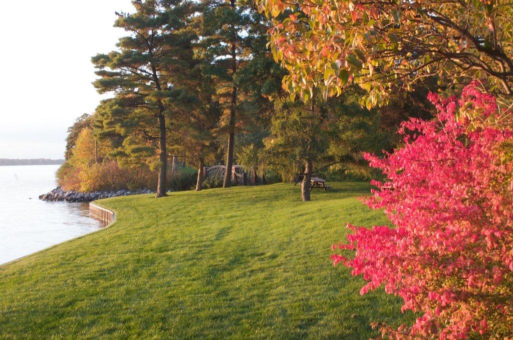 Lake LoopHiking · ~35 min drivePhoto: H. Michael Miley, CC BY-SA 2.0 (via Flickr)
 Hell's Point ChallengeHiking · ~1h 7m drivePhoto: davidwilson1949, CC BY 2.0 (via Flickr)
- Loop Trail (Intermediate)Hiking · ~39 min drive
- Tk Lawless Mtb Trail - Big DipperHiking · ~40 min drive
- Paved (Easy)Hiking · ~39 min drive
- North Country National Scenic Trail (Mi)Hiking · ~41 min drive
- Calhoun County TrailwayHiking · ~41 min drive
- Blue TrailHiking · ~1h 16m drive
- River Mill TrailHiking · ~55 min drive
- RiverwalkHiking · ~1h 5m drive
Best time to visit Vicksburg Trail
Best months: April and June–September. Best months have typical highs of 55–85 °F, lows of 30 °F or warmer (32 °F where the station doesn't record snow), at most one snowy day and no more than 12 wet days.
Jan
31° / 18°
12 wet
Feb
35° / 19°
9 wet
Mar
46° / 27°
11 wet
Apr
59° / 38°
12 wet
May
70° / 49°
13 wet
Jun
79° / 58°
12 wet
Jul
83° / 62°
11 wet
Aug
81° / 60°
12 wet
Sep
74° / 53°
12 wet
Oct
61° / 42°
13 wet
Nov
48° / 32°
12 wet
Dec
37° / 24°
12 wet
Typical high / low (°F) and days with rain or snow, 1991–2020. Measured at Kalamazoo Battle Ck Intl Ap, MI, 7.7 mi away at 868 ft. This station doesn't record snowfall. Source: NOAA NCEI U.S. Climate Normals 1991–2020.
Map and trail data © OpenStreetMap contributors
