Swamp Ridge
- 0.3 mi
- one way
- 785 ft
- high point
- Point to point
- route
- Easy
- difficulty
- Apr, Jun–Oct
- best months
Swamp Ridge is a 0.33-mile point-to-point trail in Michigan with 44 feet of elevation gain and 64 feet of elevation loss.
 The Dragon Trail - Segment #10Hiking · ~29 min drivePhoto: Larry Pieniazek, Lar (commons) or User:Lar (wikipedia), CC BY-SA 3.0 (via Wikimedia Commons)
- The Dragon Trail - Segment #3Hiking · ~30 min drive
- The Dragon Trail - Segment #7Hiking · ~39 min drive
- The Dragon Trail - Segment #1Hiking · ~30 min drivePhoto: Larry Pieniazek, Lar (commons) or User:Lar (wikipedia), CC BY-SA 3.0 (via Wikimedia Commons)
- Grand Rapids Township TrailsHiking · ~32 min drive
- Cedar Creek Motorsport TrailHiking · ~39 min drive
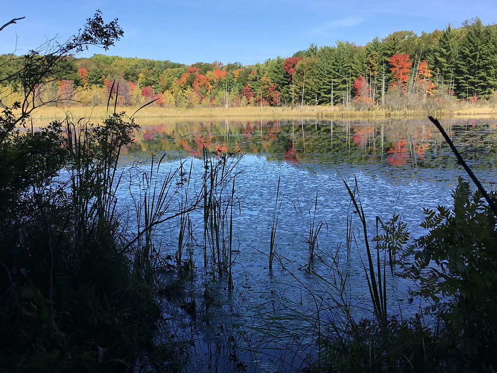 Loda Lake Wildflower TrailHiking · ~47 min drivePhoto: usfs_Eastern_Region, Public Domain Mark (via Flickr)
- Birch Grove TrailHiking · ~46 min drive
- Spring CreekHiking · Next door
- Blue TrailHiking · ~50 min drive
Best time to visit Swamp Ridge
Best months: April and June–October. Best months have typical highs of 55–85 °F, lows of 30 °F or warmer (32 °F where the station doesn't record snow), at most one snowy day and no more than 12 wet days.
Jan
32° / 14°
14 wet
Feb
35° / 14°
11 wet
Mar
45° / 22°
11 wet
Apr
57° / 32°
12 wet
May
69° / 44°
13 wet
Jun
79° / 53°
10 wet
Jul
83° / 57°
9 wet
Aug
81° / 56°
10 wet
Sep
75° / 48°
10 wet
Oct
62° / 38°
12 wet
Nov
47° / 28°
12 wet
Dec
36° / 21°
13 wet
Typical high / low (°F) and days with rain or snow, 1991–2020. Measured at Kent City 2 Sw, MI, 6 mi away at 840 ft. This station doesn't record snowfall. Source: NOAA NCEI U.S. Climate Normals 1991–2020.
Map and trail data © OpenStreetMap contributors
