Rosy Run Trail
- 1.8 mi
- round trip
- 231 ft
- climb
- 934 ft
- high point
- Out and back
- route
- Jun–Sep
- best months
Caution at last check
Agency alerts are in effect for this area; weather is good · USFS, OpenWeather · checked 20 h ago
Is Rosy Run Trail open right now?
Alert in the area
The Forest Service lists 4 alerts for Huron-Manistee National Forest.
USE CAUTION - KNOW BEFORE YOU GO!
Agency alert covering Huron-Manistee National Forest · USFS · Huron-Manistee National Forest
Winter Storm Impacts Huron Zone of the Forests - Know Before You Go.
Agency alert covering Huron-Manistee National Forest · USFS · Huron-Manistee National Forest
'Do Not Eat' Advisory for Deer
Agency alert covering Huron-Manistee National Forest · USFS · Huron-Manistee National Forest
'Do Not Eat' Advisory for Fish
Agency alert covering Huron-Manistee National Forest · USFS · Huron-Manistee National Forest
As of · Source: USFS · Huron-Manistee National Forest. Agencies don't list every closure — check before you go.
Rosy Run Trail is an easy out-and-back hike of about 3.5 miles in the White Cloud Ranger District of Huron-Manistee National Forest in Michigan. The trail rises from a low point of about 874 feet to a high of about 934 feet, with the steepest stretch at about 1.5 miles in, where the grade reaches about 7 percent. Summer is the most comfortable time to go. Typical averages from a nearby weather station in Big Rapids show July highs around 81°F and lows near 57°F, while winter highs stay in the 20s. Big Bend Township Park, a campground about 1.7 miles away, is the closest nearby spot. The Dragon Trail's Segment #3 lies about 2.1 miles off, and Segment #8 is about 2.9 miles away. Anglers can head to the Muskegon River, roughly 3.7 miles from the trail.
Best time to go · Jun–Sep
Best time to visit Rosy Run Trail
Best months: June–September. Best months have typical highs of 55–85 °F, lows of 30 °F or warmer (32 °F where the station doesn't record snow), at most one snowy day and no more than 12 wet days.
Jan
28° / 13°
16 wet
Feb
31° / 12°
13 wet
Mar
42° / 20°
12 wet
Apr
55° / 31°
13 wet
May
68° / 43°
13 wet
Jun
77° / 53°
11 wet
Jul
81° / 57°
11 wet
Aug
79° / 55°
11 wet
Sep
72° / 47°
12 wet
Oct
58° / 36°
14 wet
Nov
44° / 28°
14 wet
Dec
33° / 19°
15 wet
Typical high / low (°F) and days with rain or snow, 1991–2020. Measured at Big Rapids Wtp, MI, 13.9 mi away at 898 ft. This station doesn't record snowfall. Source: NOAA NCEI U.S. Climate Normals 1991–2020.
Keep exploring — more trails worth the drive
 Photo: Larry Pieniazek, Lar (commons) or User:Lar (wikipedia), CC BY-SA 3.0 (via Wikimedia Commons)
The Dragon Trail - Segment #1
~5 min drive
2.24-mile out-and-back segment of The Dragon Trail in Michigan with 661 ft gain.
HIKE
The Dragon Trail - Segment #3
~4 min drive
2.82-mile out-and-back segment of The Dragon Trail in Michigan with 888 ft gain.
HIKE
The Dragon Trail - Segment #7
~7 min drive
8.01-mile out-and-back trail in Michigan with 1,427 feet of elevation gain.
Photo: Larry Pieniazek, Lar (commons) or User:Lar (wikipedia), CC BY-SA 3.0 (via Wikimedia Commons)The Dragon Trail - Segment #10
~7 min drive
2.21-mile out-and-back segment of The Dragon Trail in Michigan with 423 ft gain.
HIKE
HUNGERFORD TRAIL 24
~25 min drive
6.48-mile out-and-back trail in Michigan with 688 ft elevation gain.
HIKE
Hungerford Bike Trail
~23 min drive
16.76-mile out-and-back bike trail through Michigan countryside.
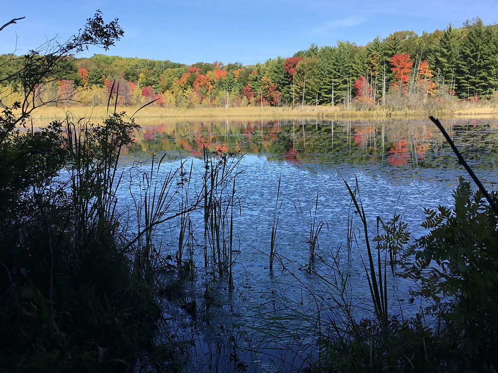 Photo: usfs_Eastern_Region, Public Domain Mark (via Flickr)
Loda Lake Wildflower Trail
~29 min drive
2.35-mile loop trail in Michigan with 396 ft elevation gain.
HIKE
Birch Grove Trail
~30 min drive
11.5-mile out-and-back through Michigan's birch forests.
HIKE
The Dragon Trail - Segment #8
~5 min drive
1.67-mile out-and-back segment of The Dragon Trail in Michigan with 587 ft gain.
HIKE
The Dragon Trail - Segment #4
~5 min drive
5.60-mile out-and-back hike on The Dragon Trail in Michigan with 992 ft gain.
Map and trail data © OpenStreetMap contributors
