Greenstone Ridge Trailhead: Hidden Lake
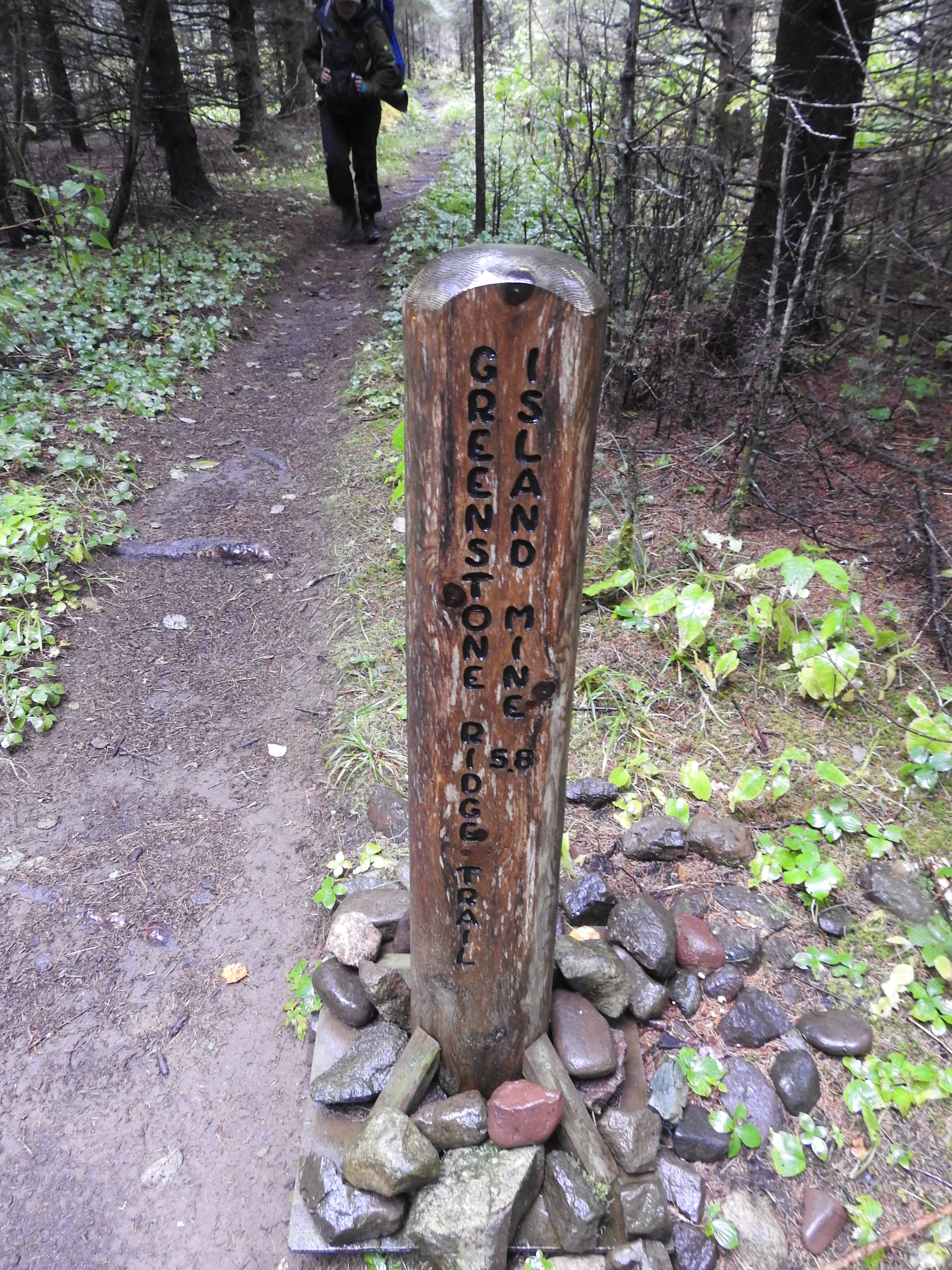 Photo: NPS
- 11.7 mi
- round trip
- 2,115 ft
- climb
- 1,146 ft
- high point
- Out and back
- route
Is Greenstone Ridge Trailhead: Hidden Lake open right now?
Closure in the area
There's a closure order in Isle Royale National Park. It doesn't name Greenstone Ridge Trailhead: Hidden Lake, so check the source for the area it covers (2 listed).
Isle Royale National Park to Reopen April 16, 2027
Park closure covering Isle Royale National Park · NPS · Isle Royale National Park
Visitor Centers are Closed for the Season
Park closure covering Isle Royale National Park · NPS · Isle Royale National Park
As of · Source: NPS · Isle Royale National Park. Agencies don't list every closure — check before you go.
Backpack Isle Royale National Park and trek the Greenstone Ridge Trail that connects the southwest end to the northeast end of the island. The island’s longest trail includes forested wilderness, rocky exposed ridges, inland lakes, swamps, wildlife, and Lake Superior views. Trailhead Locations • Windigo is accessible by ferry, seaplane, or private boat. • Hidden Lake is accessible by private boat or water taxi from Rock Harbor Lodge. Miles: about 41.7 Accessibility: This backcountry trail is about 18 inches wide and includes rocks and roots. Trail includes wooden plank bridges and steep inclines. No potable water is available along the trail. Bring everything you need to backpack multiple days across the island, including enough food, water filter, map, and compass. Campgrounds Along Trail • Washington Creek Campground • Island Mine Campground • South Lake Desor Campground • Hatchet Lake Campground • West Chickenbone Campground • East Chickenbone Campground • Daisy Farm Campground • Three Mile Campground • Rock Harbor Campground
Conditions and forecast on Mount Ojibway
Daily highs and lows, wind and the chance of precipitation at the summit and route start for the next 7 days, from the Open-Meteo model.
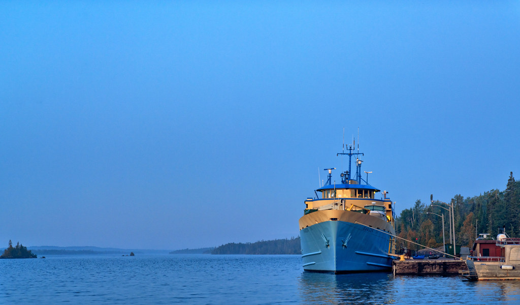 Rock Harbor TrailHikingPhoto: Tony Webster, CC BY 2.0 (via Flickr)1 mi
- Stoll TrailHikingPhoto: Tony Webster, CC BY 2.0 (via Flickr)1 mi
- Tobin Harbor TrailHiking2.6 mi
 Mount Franklin TrailHikingPhoto: Tony Webster, CC BY 2.0 (via Flickr)4.7 mi
- Lane Cove TrailHikingPhoto: Tony Webster, CC BY 2.0 (via Flickr)4.7 mi
 Mount Ojibway TrailHikingPhoto: Tony Webster, CC BY 2.0 (via Flickr)7.2 mi
- Daisy Farm TrailHiking8.4 mi
Source: Roamze catalog (indexable pages within 10 miles, PostGIS distance)
- Rock Harbor TrailHiking · ~2 min drivePhoto: Tony Webster, CC BY 2.0 (via Flickr)
- Stoll TrailHiking · ~2 min drivePhoto: Tony Webster, CC BY 2.0 (via Flickr)
- Mount Franklin TrailHiking · ~8 min drivePhoto: Tony Webster, CC BY 2.0 (via Flickr)
 Minong Ridge TrailHiking · ~60 min drivePhoto: Ken Lund, CC BY-SA 2.0 (via Flickr)
- Bay’s End Lookout TrailHiking · ~53 min drive
- Indian Portage TrailHiking · ~23 min drive
- Hunnigan Cove TrailHiking · ~60 min drivePhoto: Ken Lund, CC BY-SA 2.0 (via Flickr)
- Lane Cove TrailHiking · ~8 min drivePhoto: Tony Webster, CC BY 2.0 (via Flickr)
- Feldtmann Ridge TrailHiking · ~53 min drive
- Feldtmann Lake TrailHiking · ~1h 1m drivePhoto: Ken Lund, CC BY-SA 2.0 (via Flickr)

Route details
- Distance
- 11.7 mi round trip
- Climbing
- About 2,115 ft
- Summit
- 1,146 ft
- Difficulty
- Hard
- Time
- About 4.5 hours
Other routes up Mount Ojibway
Questions about this route
How long is the Greenstone Ridge Trailhead: Hidden Lake on Mount Ojibway?
About 11.7 mi round trip.
How much elevation gain is on the Greenstone Ridge Trailhead: Hidden Lake?
About 2,115 ft of climbing round trip.
How hard is the Greenstone Ridge Trailhead: Hidden Lake?
It is rated hard.
How long does the Greenstone Ridge Trailhead: Hidden Lake take?
About 4.5 hours round trip.
How many routes go up Mount Ojibway?
2: Mount Ojibway Trail and Greenstone Ridge Trailhead: Hidden Lake.
