Gerber Blue Trail
- 4.8 mi
- loop
- 175 ft
- climb
- 707 ft
- high point
- Loop
- route
- Apr–Oct
- best months
Caution today
Agency alerts are in effect for this area; weather is good · USFS, OpenWeather · checked 8 h ago
Is Gerber Blue Trail open right now?
Alert in the area
The Forest Service lists 4 alerts for Huron-Manistee National Forest.
USE CAUTION - KNOW BEFORE YOU GO!
Agency alert covering Huron-Manistee National Forest · USFS · Huron-Manistee National Forest
Winter Storm Impacts Huron Zone of the Forests - Know Before You Go.
Agency alert covering Huron-Manistee National Forest · USFS · Huron-Manistee National Forest
'Do Not Eat' Advisory for Deer
Agency alert covering Huron-Manistee National Forest · USFS · Huron-Manistee National Forest
'Do Not Eat' Advisory for Fish
Agency alert covering Huron-Manistee National Forest · USFS · Huron-Manistee National Forest
As of · Source: USFS · Huron-Manistee National Forest. Agencies don't list every closure — check before you go.
Gerber Blue Trail is a 4.8-mile loop in the White Cloud Ranger District of the Huron-Manistee National Forest in Michigan. The trail rises from about 668 feet to a high of 707 feet, with a total elevation gain of 175 feet, and the steepest stretch comes within the first 0.07 miles at about 6 percent grade. It is an easy hike, and the route is short enough to fit into a day of exploring the network of trails that surrounds it. Summer is the most comfortable time to go. Typical averages from a nearby weather station show July highs around 80°F with lows near 58°F, while winter highs stay in the 30s. The Gerber Yellow Trail starts just 0.1 mile away, and the Gerber Red Trail is 0.3 mile off. The Gerber Green Trail is 0.8 mile away, and Pines Point Campground is about 7.5 miles from the trail.
- Gerber Yellow TrailHiking0.1 mi
- Gerber Red TrailHiking0.3 mi
- Gerber Green TrailHiking0.8 mi
- Ski Trail - OrangeCross-country skiing1.1 mi
- Orange TrailHiking1.2 mi
- White TrailHiking1.2 mi
- Pines Point Campground (MI)Camping7.5 mi
- Pines Point CampgroundCamping7.7 mi
Source: Roamze catalog (indexable pages within 10 miles, PostGIS distance)
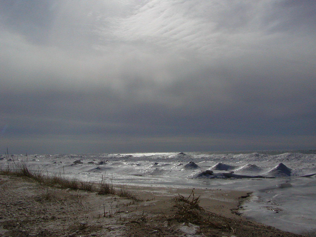 Duck Lake State Park - Foot TrailHiking · ~20 min drivePhoto: Qfamily, CC BY 2.0 (via Flickr)
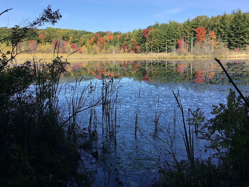 Loda Lake Wildflower TrailHiking · ~40 min drivePhoto: usfs_Eastern_Region, Public Domain Mark (via Flickr)
- Blue TrailHiking · ~3 min drive
- Triathalon RouteHiking · ~3 min drive
 The Dragon Trail - Segment #10Hiking · ~49 min drivePhoto: Larry Pieniazek, Lar (commons) or User:Lar (wikipedia), CC BY-SA 3.0 (via Wikimedia Commons)
- Cedar Creek Motorsport TrailHiking · ~11 min drive
- The Dragon Trail - Segment #3Hiking · ~53 min drive
- The Dragon Trail - Segment #1Hiking · ~51 min drivePhoto: Larry Pieniazek, Lar (commons) or User:Lar (wikipedia), CC BY-SA 3.0 (via Wikimedia Commons)
- Fred Meijer Berry Junction TrailHiking · ~14 min drive
- CRYSTAL VALLEY SKI TRAIL LOOP3Hiking · ~42 min drive
Best time to visit Gerber Blue Trail
Best months: April–October. Best months have typical highs of 55–85 °F, lows of 30 °F or warmer (32 °F where the station doesn't record snow), at most one snowy day and no more than 12 wet days.
Jan
30° / 16°
Feb
32° / 16°
Mar
42° / 23°
Apr
55° / 33°
May
67° / 44°
Jun
76° / 54°
Jul
80° / 58°
Aug
78° / 56°
Sep
71° / 50°
Oct
59° / 39°
Nov
45° / 30°
Dec
34° / 21°
Typical high / low (°F) and days with rain or snow, 1991–2020. Measured at Fremont 4 Wsw, MI, 8.4 mi away at 800 ft. This station doesn't record snowfall. Source: NOAA NCEI U.S. Climate Normals 1991–2020.
Map and trail data © OpenStreetMap contributors
