Miller Trail Access
- Apr–Oct
- best months
Clear at last check
Weather is good · OpenWeather · checked 18 h ago
Miller Trail Access is a boat launch in north-central Massachusetts, about 2.8 miles from the town of Winchendon. It serves as a put-in for paddlers and boaters heading onto the water in this corner of the state. Summer and early fall are the most comfortable times to launch. Typical July highs run around 82°F, and September averages about 73°F with lows near 48°F, according to normals from the nearby Birch Hill Dam weather station. Winters are cold, with January highs around 32°F and a few snowy days each month from December through February. The launch sits close to several other outdoor spots. The McLaughlin Trail is just 0.3 miles away, and both the Ware River Rail Trail and Lake Dennison are about 1.2 miles off. Paddlers looking for more river time can head to the East Branch Tully River, roughly 6.9 miles away.
 McLaughlin TrailHikingPhoto: Arria Belli, CC BY-SA 2.0 (via Flickr)0.3 mi
- Ware River Rail TrailHiking1.2 mi
- Lake DennisonLake fishing1.2 mi
- River RoadHikingPhoto: Arria Belli, CC BY-SA 2.0 (via Flickr)1.6 mi
- Wilder Mckenzie Nature TrailHiking2.9 mi
- Tully Lake Recreation Area (ma)Camping6.5 mi
- East Branch Tully RiverCanoeing6.9 mi
- Upper Otter River Blue TrailCanoeing7.1 mi
Source: Roamze catalog (indexable pages within 10 miles, PostGIS distance)
 Ware RiverCanoeing · ~30 min drivePhoto: John Phelan, CC BY-SA 3.0 (via Wikimedia Commons)
- Otter River Conservation Area AccesBoat launch · ~14 min drive
 Squannacook RiverCanoeing · ~32 min drivePhoto: Marcbela (Marc N. Belanger), CC0 (via Wikimedia Commons)
- Frost Pond boat rampBoat launch · ~25 min drive
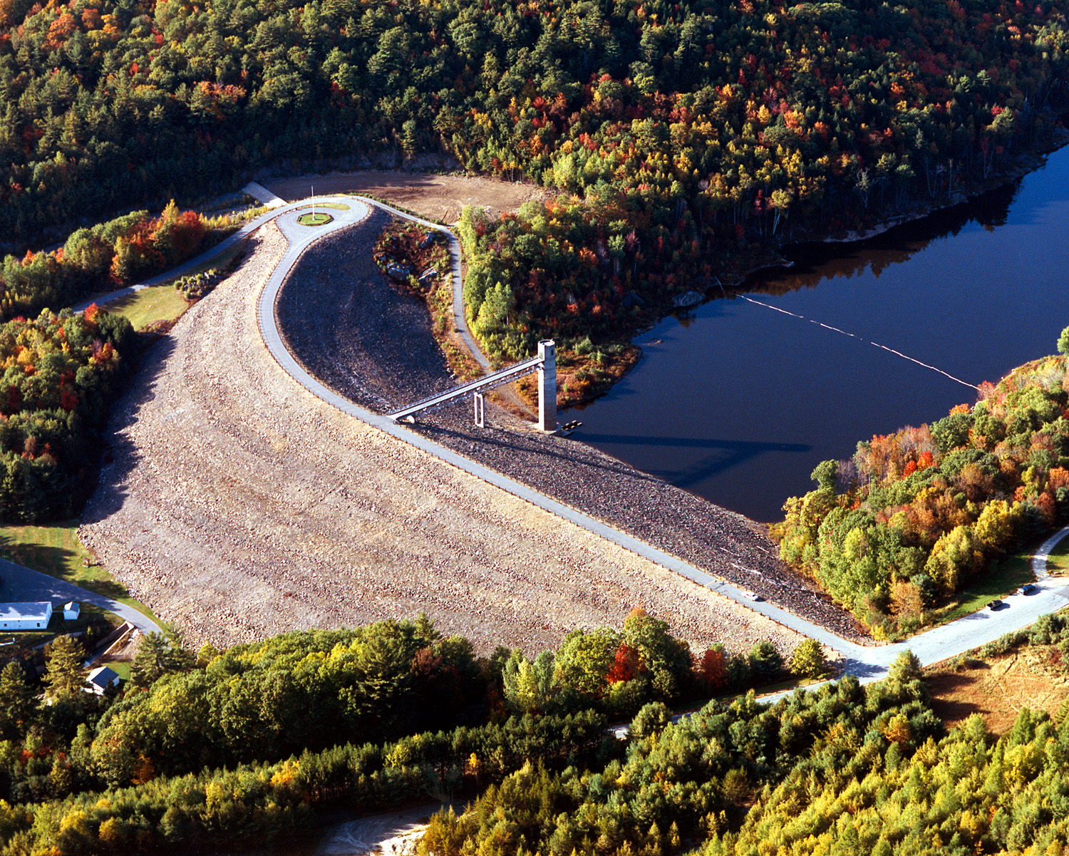 Otter BrookCanoeing · ~39 min drivePhoto: U.S. Army Corps of Engineers, photographer not specified or unknown, Public domain (via Wikimedia Commons)
- Ware riverBoat launch · ~32 min drive
 Quinapoxet RiverCanoeing · ~39 min drivePhoto: en:User:LymanSchool (Richard B. Johnson), CC BY-SA 3.0 (via Wikimedia Commons)
- Kayak/Canoe LaunchBoat launch · ~36 min drive
 Fort RiverCanoeing · ~49 min drivePhoto: Ktr101, CC BY-SA 4.0 (via Wikimedia Commons)
- Fort Pond Boat LaunchBoat launch · ~39 min drive
Best time to visit Miller Trail Access
Best months: April–October. Best months have typical highs of 55–85 °F, lows of 30 °F or warmer (32 °F where the station doesn't record snow), at most one snowy day and no more than 12 wet days.
Jan
32° / 12°
11 wet · 5 snow
Feb
35° / 13°
10 wet · 5 snow
Mar
43° / 21°
11 wet · 3 snow
Apr
56° / 33°
11 wet · 1 snow
May
68° / 44°
11 wet
Jun
76° / 53°
11 wet
Jul
82° / 59°
10 wet
Aug
80° / 56°
9 wet
Sep
73° / 48°
8 wet
Oct
59° / 36°
10 wet
Nov
48° / 28°
9 wet · 1 snow
Dec
37° / 20°
11 wet · 4 snow
Typical high / low (°F) and days with rain or snow, 1991–2020. Measured at Birch Hill Dam, MA, 2.6 mi away at 855 ft. Source: NOAA NCEI U.S. Climate Normals 1991–2020.

Map and trail data © OpenStreetMap contributors
