Falling Bridge
- 0.6 mi
- round trip
- 293 ft
- climb
- Out and back
- route
- Apr–Oct
- best months
Falling Bridge is a mountain biking route in Massachusetts's Mount Holyoke Range Conservation Area, a short out-and-back ride of about 1.3 miles that climbs roughly 293 feet from a low of 230 feet to a high of 393 feet. The steepest stretch comes at about 0.26 miles into the ride, with a grade of about 12 percent. It is a moderate route with a total elevation gain and loss of about 293 feet each way. The most comfortable riding weather tends to fall in late spring and early fall. Typical averages from a nearby weather station in Amherst, about 7 miles away, show May highs around 69°F and September highs around 74°F, while July averages about 83°F. The station sits roughly 250 feet lower than the route's high point, so temperatures on the hill run slightly cooler. Lithia Springs Trail and Lithia Springs Road are both within about half a mile, and Thermopylae and Thermopylae Access are each about 0.9 miles away.
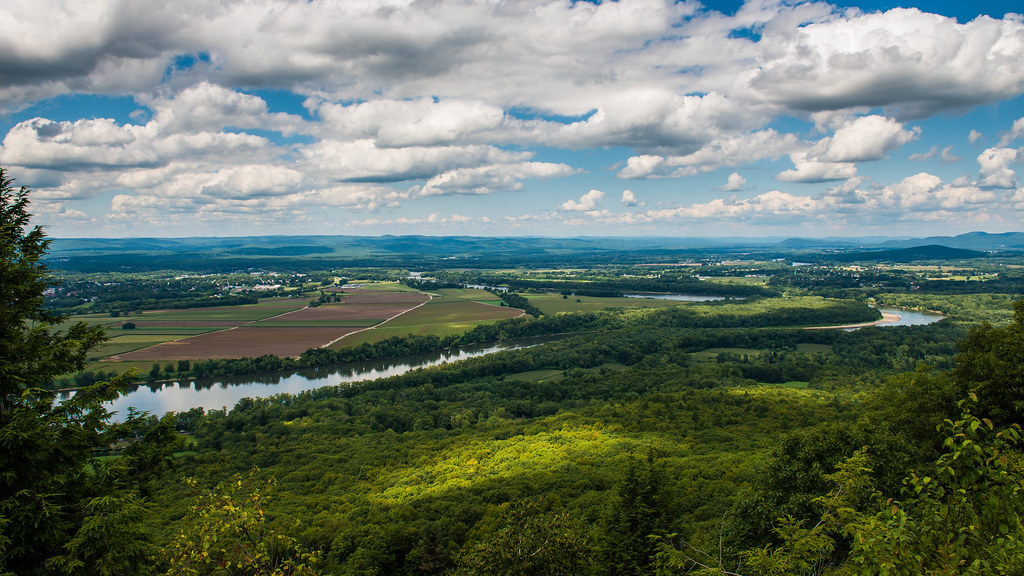 Lithia Springs TrailHikingPhoto: allenran 917, CC BY 2.0 (via Flickr)0.5 mi
- Lithia Springs RoadMountain biking0.6 mi
- ThermopylaeHiking0.9 mi
- Thermopylae AccessMountain biking0.9 mi
- Low Place TrailMountain biking1 mi
 Fort RiverCanoeingPhoto: Ktr101, CC BY-SA 4.0 (via Wikimedia Commons)6.9 mi
- Connecticut RiverRiver fishing7.5 mi
- Mill RiverCanoeing7.6 mi
Source: Roamze catalog (indexable pages within 10 miles, PostGIS distance)
- Lithia Springs RoadMountain biking · Next door
- Thermopylae AccessMountain biking · ~2 min drive
- Maze Road (alt)Mountain biking · ~2 min drive
- Yellow Brick RoadMountain biking · ~4 min drive
- Lithia Springs TrailMountain biking · ~1 min drive
- Groundward DownMountain biking · ~3 min drive
- Roller CoasterMountain biking · ~5 min drive
- IMBA AccessMountain biking · ~5 min drive
- Low Place TrailMountain biking · ~2 min drive
- Groundward DownMountain biking · ~3 min drive
Best time to visit Falling Bridge
Best months: April–October. Best months have typical highs of 55–85 °F, lows of 30 °F or warmer (32 °F where the station doesn't record snow), at most one snowy day and no more than 12 wet days.
Jan
34° / 14°
11 wet
Feb
37° / 15°
9 wet
Mar
45° / 24°
10 wet
Apr
58° / 34°
11 wet
May
69° / 45°
12 wet
Jun
78° / 55°
11 wet
Jul
83° / 60°
11 wet
Aug
82° / 58°
10 wet
Sep
74° / 50°
9 wet
Oct
62° / 39°
10 wet
Nov
50° / 29°
10 wet
Dec
39° / 21°
11 wet
Typical high / low (°F) and days with rain or snow, 1991–2020. Measured at Amherst, MA, 7 mi away at 145 ft. This station doesn't record snowfall. Source: NOAA NCEI U.S. Climate Normals 1991–2020.

Map and trail data © OpenStreetMap contributors
