Woodchuck Trail
- 0.6 mi
- round trip
- 87 ft
- climb
- 426 ft
- high point
- Out and back
- route
- Apr–Jun, Aug–Oct
- best months
Woodchuck Trail is a short, easy out-and-back hike in Massachusetts, about 2.5 miles from the town of Nobscot. The route is 1.1 miles long, with a total elevation gain of 87 feet, and it is rated easy. The trail starts at about 407 feet and reaches a high point of 426 feet before returning to the starting level. The climb is front-loaded, with the steepest stretch at about 0.18 miles from the start, where the grade reaches 4 percent. The trail is short enough to fit into a half-hour outing, and it pairs easily with other nearby routes. Late spring and early fall are the most comfortable times to go. Typical averages from a nearby weather station in Maynard show May highs around 73°F and September highs around 78°F, with July peaking near 87°F. Pine Tree Loop Trail and Jabberwocky both lie about 0.1 mile away, and Fisher Trail is about 0.2 mile off. For a change of pace, Tippling Rock, a climbing area, is about 2.6 miles away.
- Pine Tree Loop TrailHiking0.1 mi
- JabberwockyHiking0.1 mi
- Fisher TrailHiking0.2 mi
- Tippling RockRock climbing2.6 mi
 Sudbury RiverCanoeingPhoto: John Phelan, CC BY 3.0 (via Wikimedia Commons)5.3 mi
- Hopkinton State ParkRock climbing5.6 mi
- Assabet RiverRiver fishing5.7 mi
- Peter's HillRock climbing7.6 mi
Source: Roamze catalog (indexable pages within 10 miles, PostGIS distance)
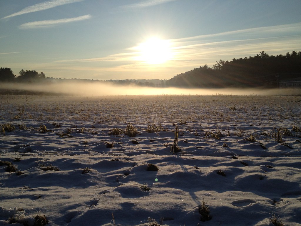 Flying Squirrel TrailHiking · Next doorPhoto: fromdarkheaven, CC BY-SA 2.0 (via Flickr)
 PipelineHiking · ~1 min drivePhoto: GabrielaP93, CC BY 2.0 (via Flickr)
- Acorn TrailHiking · ~1 min drivePhoto: fromdarkheaven, CC BY-SA 2.0 (via Flickr)
- Fox Hunt TrailHiking · ~2 min drivePhoto: GabrielaP93, CC BY 2.0 (via Flickr)
- Birch TrailHiking · ~2 min drivePhoto: GabrielaP93, CC BY 2.0 (via Flickr)
 Plymton TrailHiking · ~4 min drivePhoto: U. S. Fish and Wildlife Service - Northeast Region, Public domain (via Wikimedia Commons)
 Desert Loop TrailHiking · ~5 min drivePhoto: U. S. Fish and Wildlife Service - Northeast Region, Public domain (via Wikimedia Commons)
- Plymton TrailHiking · ~5 min drivePhoto: U. S. Fish and Wildlife Service - Northeast Region, Public domain (via Wikimedia Commons)
- Desert TrailHiking · ~5 min drivePhoto: U. S. Fish and Wildlife Service - Northeast Region, Public domain (via Wikimedia Commons)
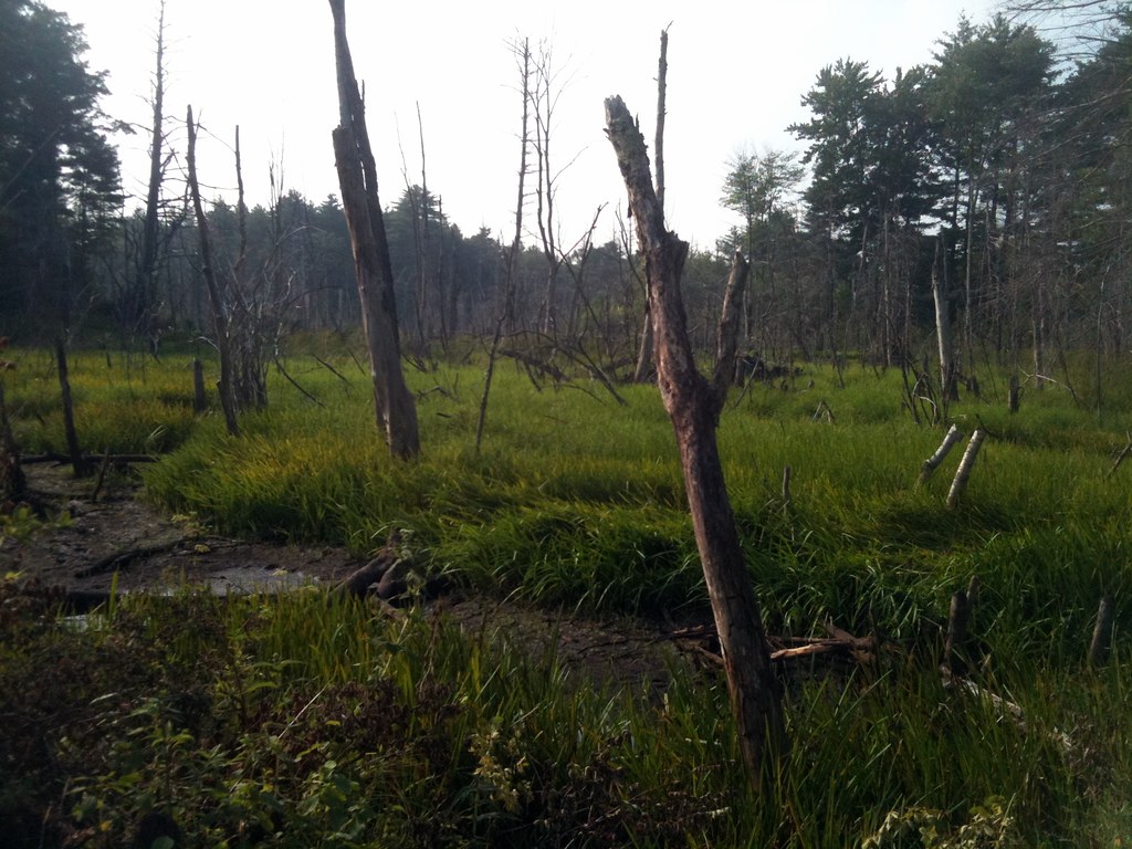 Old Concord RoadHiking · ~5 min drivePhoto: leewrightonflickr, CC BY-SA 2.0 (via Flickr)
Best time to visit Woodchuck Trail
Best months: April–June and August–October. Best months have typical highs of 55–85 °F, lows of 30 °F or warmer (32 °F where the station doesn't record snow), at most one snowy day and no more than 12 wet days.
Jan
37° / 15°
11 wet
Feb
41° / 16°
9 wet
Mar
48° / 24°
12 wet
Apr
62° / 34°
12 wet
May
73° / 45°
12 wet
Jun
81° / 55°
11 wet
Jul
87° / 60°
10 wet
Aug
85° / 58°
10 wet
Sep
78° / 49°
9 wet
Oct
66° / 38°
11 wet
Nov
54° / 29°
10 wet
Dec
43° / 21°
11 wet
Typical high / low (°F) and days with rain or snow, 1991–2020. Measured at Maynard 2, MA, 6.8 mi away at 205 ft. This station doesn't record snowfall. Source: NOAA NCEI U.S. Climate Normals 1991–2020.

Map and trail data © OpenStreetMap contributors
